When you see a picture of the Toronto skyline, with skyscrapers lining up next to each other like spaghetti in a box, you may not expect to find many trails right in the city.
But despite its density, I’ve found plenty of trails to walk, hike, and even spot wildlife. To sweeten the deal, most of them are easy and the trailheads are accessible by public transit. I’ve done all the trails listed here, some in total and some (the very long ones) partially.
You’ll find dirt and paved trails, short ones, and some long ones that can even take you across the province of Ontario and beyond.
I included how to reach the trailheads as well as trail maps grouped by area.
As with any activity I list in this blog, you enter the trails at your own risk and you’re fully responsible for your own safety.
Disclosure: This post contains some affiliate links. If you make a purchase through those links I will earn a commission at no additional cost to you (zero, nada). To check the full disclaimer, click here.
This is Where to Hike and Walk in Toronto
BEST WALKING TRAILS IN DOWNTOWN TORONTO
Table of Contents
Martin Goodman Trail (Part of the Waterfront Trail)
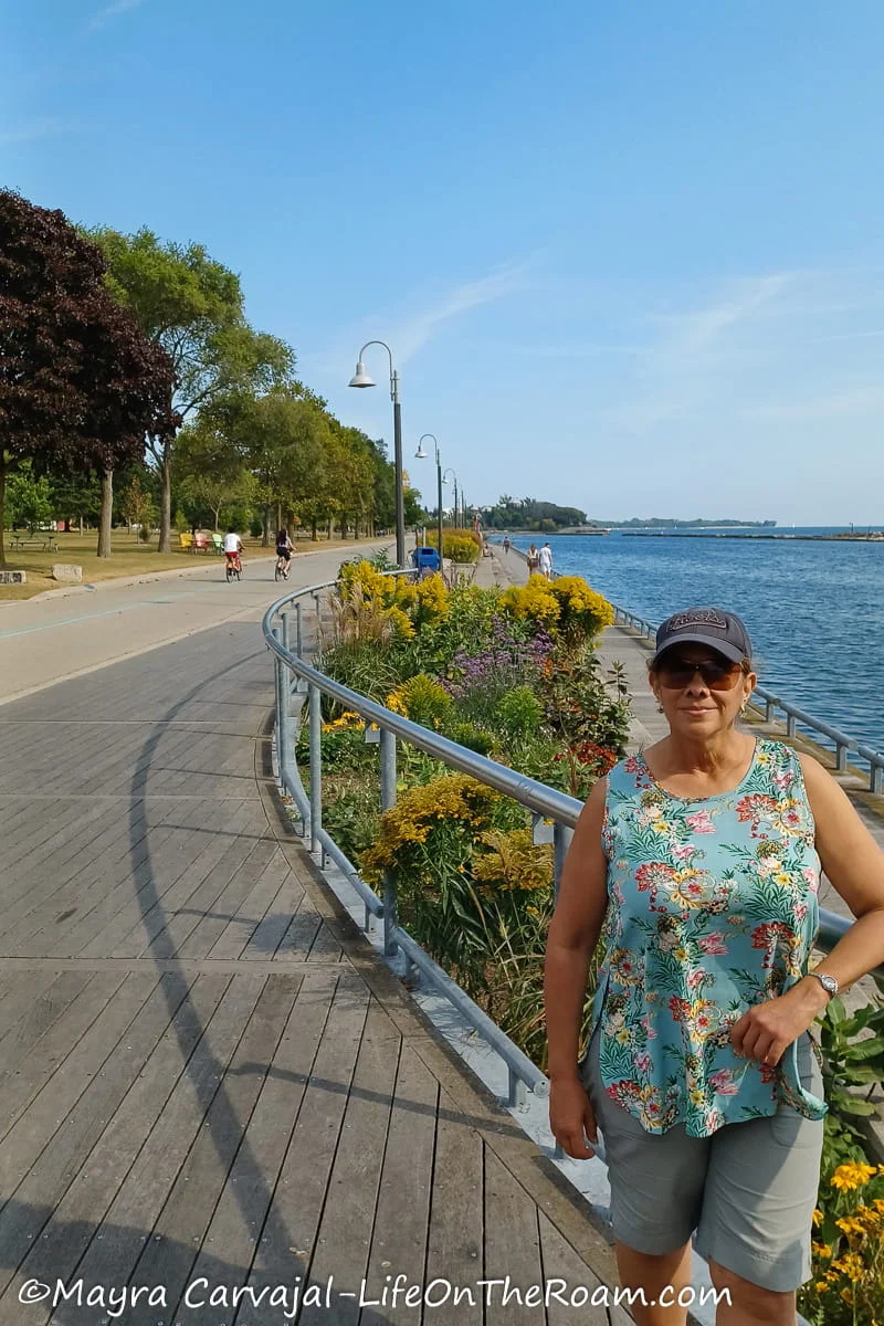
Level of Difficulty: Easy. Mostly flat and paved.
If you’re looking for where to walk or ride in Toronto by the water, step on the Martin Goodman Trail.
It covers the waterfront from east (at Balmy Beach) to west (at the Humber Bay Arch Bridge), for a total of about 20+kilometres (12.5+ miles one way). In some areas you can go on the boardwalks parallel to the trail to be closer to the water.
Parks, beach-like settings, sculptures, even cultural centres and places to grab a bite dot the trail while you enjoy views of Lake Ontario along the way. You’ll find washrooms and (seasonal) water fountains.
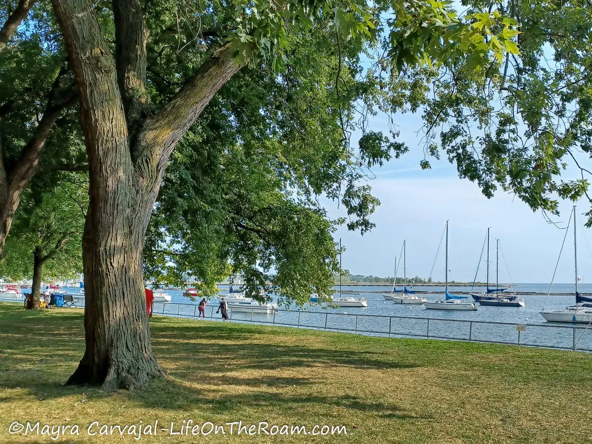
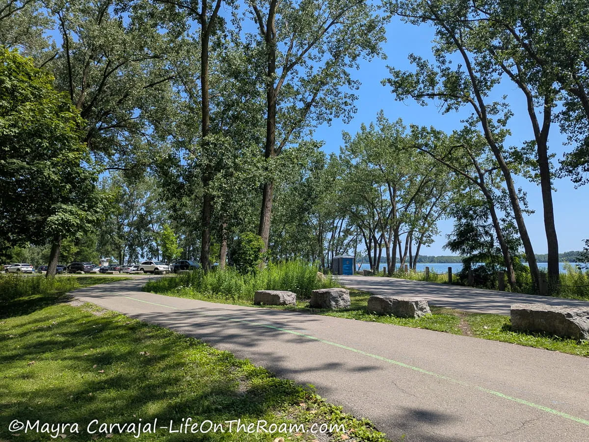
We walked the entire trail in two parts. It took us about 2.5 hours from Humber Bay to the HTO Park and about three hours from Balmy Beach to the downtown core, including stops for pictures.
You can rent a bike at any of the Bike Share Toronto stations along the way and complete it much faster. There are dedicated bike lines, but be aware that the path through central downtown is crazy busy, with a lot of distracted people constantly stepping in front of the bikes.
Want to cover more ground? The Martin Goodman Trail is part of the Great Lakes Waterfront Trail, a 3,000 kms. path through the shoreline of Lake Huron, Lake Erie, Lake Ontario, and the St. Lawrence River. So, if you’re up for the long ride, this is a good starting point.
How to Get There
You can easily access the trail at any point via southbound buses or streetcars. There are also several parking lots along the way, but take into consideration that traffic in downtown Toronto is absolutely nuts.
Lower Don River Trail

Level of Difficulty: Easy. Mostly flat and paved.
The section of the Lower Don River Trail that runs along the east border of downtown Toronto has views of the river, the highway, the train tracks, and some trees.
It isn’t the most scenic section of the trail, but if you go north instead of south the views improve as you’ll see more trees and greenery.
If you keep going up you’ll eventually connect to the East and West Don Trails, and have access to other paths such as Crothers Woods or the Wilket Creek Recreational Trail.
The easiest access from the north side of downtown Toronto is through the bicycle stairway at the Riverdale Park viaduct, a bridge that goes over the highway connecting Riverdale Park East and West.
If you head south from there you’ll find bicycle stairways that exit to Dundas St and to Queen St. Or you can keep walking south to Corktown Common Park.
Due to construction, to go further south to the Lower Don Trail West you have to go west on Mill St. or Front St. to connect to Cherry St.
After you cross the Cherry St. South Bridge, you exit right onto the curve that leads to the continuation of the Lower Don Trail, along the south side of the Don River and Biidaasige Park. The trail will merge with Lakeshore Blvd. East.
Note: this trail may get flooded during heavy rain.
How to Get There
-To access via the Riverdale viaduct take the 505 streetcar from the Broadview subway station and get off at the Riverdale Park East. Go down to the track and walk west towards the bridge.
-You can also access the bridge from Riverdale Park West, at the end of Carlton St. Take the 65 bus along Parliament from the Castle Frank subway station and walk east through Cabbagetown or take the 506 streetcar from the College subway station.
Toronto Islands Walking Trails

Level of Difficulty: Easy
One of the best things about walking all around the Toronto Islands is that it’s a car-free place, so you can do it at ease. It feels like you’re in another world, only minutes across downtown.
Paved paths connect the different parks, making it a pleasant walk amongst open fields with lots of trees and views of Lake Ontario and Toronto’s skyline.
There are washrooms, (seasonal) water fountains and eateries open from late Spring to early Fall.
Check out my post about the Toronto Islands to learn more about the parks and trails
How to Get There
Take the ferry at the Jack Layton Terminal or a water taxi from Toronto’s waterfront.
Downtown Toronto Trails Map
Below you can find a map of the downtown trails listed above.
Note that the path for the downtown section of the Lower Don doesn’t show the portion going beyond Corktown Common and into the south border of Biidaasige Park. The area is still in development and Google hasn’t updated the map, but I provided directions above.
On the Toronto Islands, you can cross the bridges to access most of the islands’ parks.
Hiking Day Trip from Toronto to Algonquin Provincial Park: hike scenic trails through forests, lakes, and lookouts in this stunning park, about 2.5 hours from Toronto. Don’t want to drive?
Check out this hiking tour to Algonquin, which includes a guided canoe trip, with a rating of 4.9/5 based on more than 135 reviews.
BEST HIKING TRAILS IN MIDTOWN TORONTO
Evergreen BrickWorks Trails

Level of Difficulty: Easy to Moderate. Mostly flat, with a moderate slope to access the lookouts.
Right off one of Toronto’s busiest highways, the Don Valley Parkway (DVP), hides a network of biking and hiking trails that run through different habitats.
They’re part of the Don Valley Brick Works Park, a 40-acre park that combines trails, two lookouts, ponds and wetlands, and a farmers’ market in a former industrial site that produced many of the bricks you see in Toronto’s old houses.
I started easy by walking on the elevated boardwalks over the placid ponds on the north edge of the Evergreen Brick Works complex. These wetlands are a great site for birdwatching (as are the woodlands on the west side), or to spot turtles, amphibians, and water lilies.
I followed the path leading to the ravine, where I walked around short, interconnected trails with winding gravel paths and fields of wildflowers.
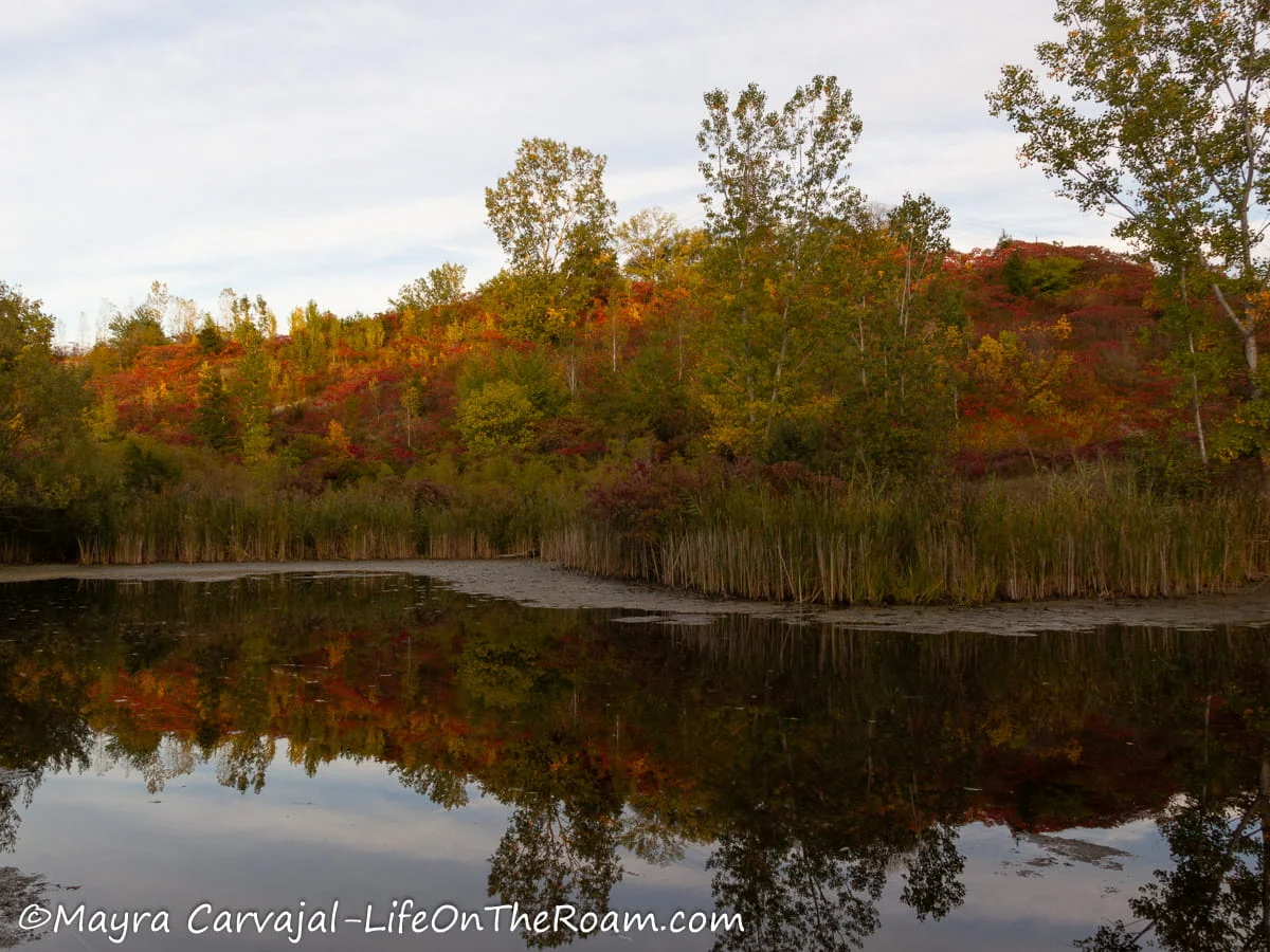

This 4-kilometre walk takes you around what used to be a clay quarry that opened at the end of the 19th century. Go up the big slope to check out the two lookouts. From the one on the north side you’ll have a view of the park and from the one facing south (Governor’s Bridge Lookout) you’ll see the Toronto skyline rising behind the trees.
If you happen to visit on a Saturday you can visit the Farmers’ Market, which opens all year round (from May to October it’s outdoors).
There’s a visitor centre on site with washrooms, water stations, and a café.
How to Get There
-By bus: buses to Don Valley Brick Works Park depart from the Davisville and the Broadview subway stations.
-By bike/on foot: the park is connected to the Beltline Trail and the Lower Don Trail. You can easily step into these paths to visit other parks and nature reserves.
-By car: drive to 550 Bayview Ave.
Kay Gardner Beltline Trail
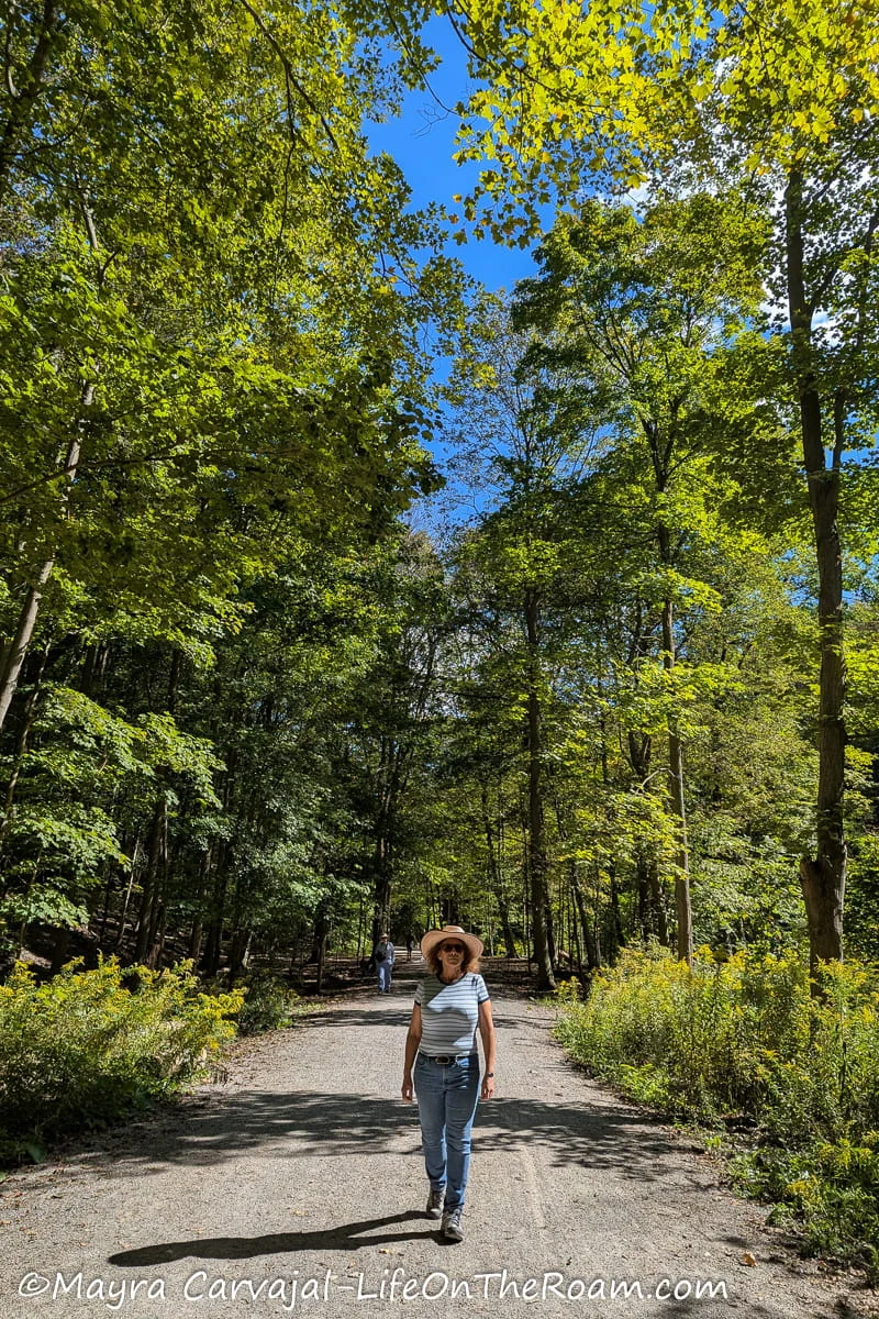
Level of Difficulty: Easy. Mostly flat with a moderate to steep incline to enter/exit the ravine.
A beautiful and historic trail that follows the former Belt Line Railway route. The steam railway operated around North Toronto, which used to be a distant suburb of the city, at the end of the 19th century. It closed after only three years due to low demand.
The 4.5-kilometre multi-use trail (2.8 miles one way) starts/ends four blocks north of Eglinton Avenue and goes to Milkman’s Lane, along the boundary of Craigleigh Gardens and Beaumont Park in the Rosedale area.
For easy access near the north end of the trail we got off at the Chaplin stop on the Eglinton Light Rail line, took the bicycle stairway down to the ravine, and followed the gravel trail south.
Lots of big trees provide shade along the wide path delimited by the fenced backyards of big houses.
The first park you’ll find, if you want to take a break and sit to have a snack, is the Forest Hill Road Park.
Here, right before crossing Avenue Road there’s a historic plaque and a monument indicating the site of the former Upper Canada College Station, a stop near a boy’s school in the train route.


We walked further south until we crossed the Belt Line Bridge, overlooking the trains in the Davisville subway station on the Yonge Line. Here you’ll find another plaque indicating the site of what was the Yonge Station in the old railway.
From now on, you’ll be walking on a shaded path along the north fence of the Mount Pleasant Cemetery until you go through the underpass of Mount Pleasant Road to head towards the east section of the cemetery.
The cemetery feels like a big park, with lots of big trees of many species. Think of it like an arboretum; worth a stop to explore.
Up to here you’ll find several (seasonal) water stations.
Follow the paved road leading to the parking lot where you’ll exit the cemetery and find the entrance to the Moore Park Ravine, which I think is the most beautiful section of the Beltline Trail.
A slope took us down to the bottom of the ravine and the Mud Creek, in the middle of the forest.
About a kilometre later (0.6 miles) you can connect to the Evergreen BrickWorks Trails on the east side (see previous section) and, a few metres later, to Chorley Park on the west.
The pathway up to Chorley Park is on the steep side, but it’s gorgeous and it offers a nice view of the tree canopy across the valley.
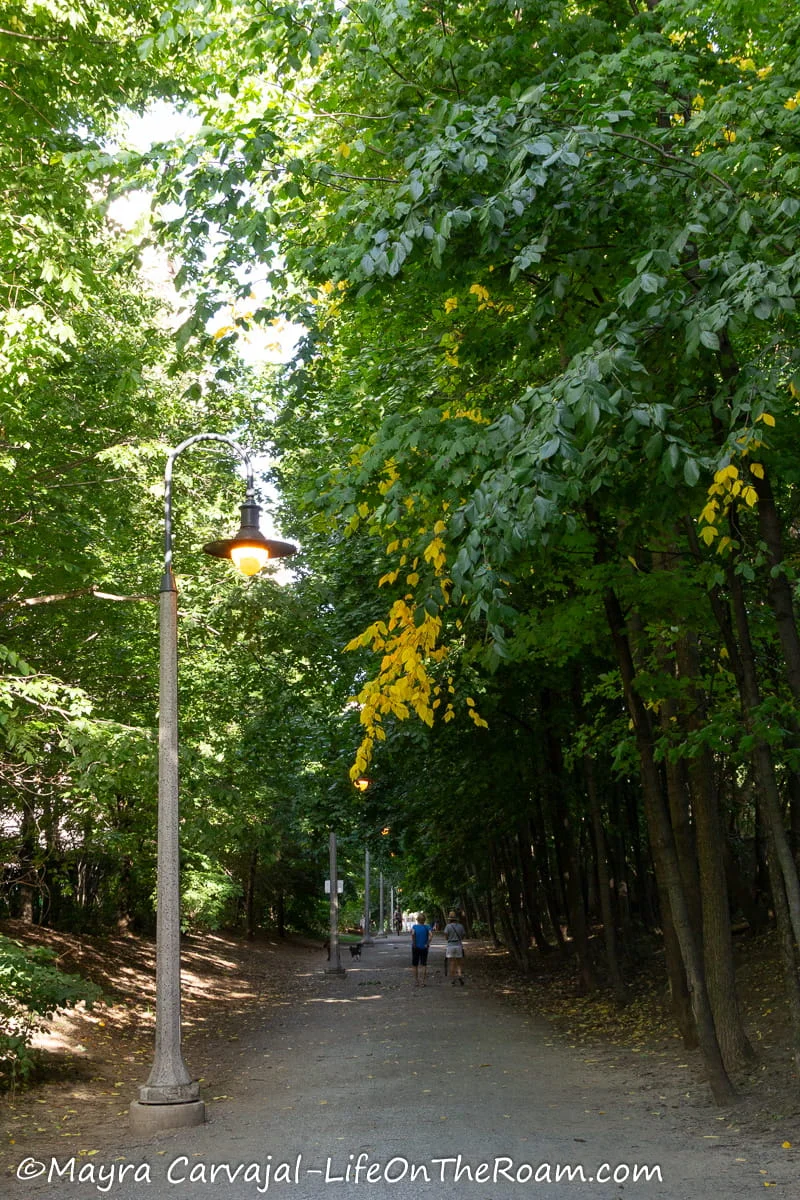


Keep going south to find another entrance to the Don Valley Brick Works Park (another great stop) and climb up Milkman’s Lane, the last section of the trail and a very pretty one.
How to Get There
-The easiest access to the north section is at the Chaplin stop on the Eglinton Light Rail line, which you can take from the Cedarvale and the Eglinton subway stations.
-To access the trailhead on the south side you either walk a few blocks from the Rosedale subway station or take Bus 75 (northbound) from the Sherbourne subway station and hop off at the South Dr. at Glen Rd. stop. Milman’s Lane will be one block east.
-You can also easily access the trail from several points along the way, such as the Davisville subway station or the Don Valley Brick Works Park.
Hiking Day Trip from Toronto to Killarney Provincial Park: hike The Crack, a challenging but worth the effort scenic trail in this beautiful park, about 3.75 hours from Toronto. Don’t want to drive?
Book this small-group hiking tour, which includes a visit to the French River, with a rating of 5/5 based on more than 10 reviews.
The Trail Across the Lower Don River Trail (on the West Side of the River)
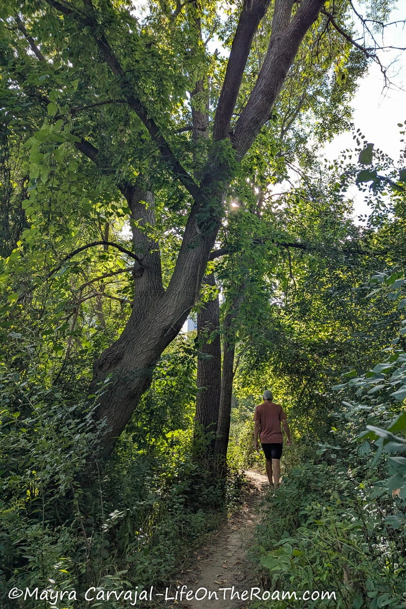
Level of Difficulty: Easy. Mostly flat with slight inclines and uneven terrain.
This alternative trail across the “official” Lower Don River trail looked more interesting as we always prefer a dirt path over a paved one.
From the south side of the E.T. Seton Park you can access the Lower Don Recreational Trail or (like we did) take the other trail running parallel, on the west side.
It’s about 2.6 kilometres (1.6 miles), one way.
To access the pathway, we went over the guardrail that’s right after the Don River West Branch Bridge (heading south). There’s a dirt path going downhill, on the left side of the road.
This leads to a short, unstable, makeshift wood-slatted footpath next to the river that goes under the train tracks so you’ll emerge on the other side. Proceed at your own risk.
From there, you’ll hike on a narrow path through semi-rugged terrain surrounded by a lush meadow, many trees, and views of a tree-covered hill.
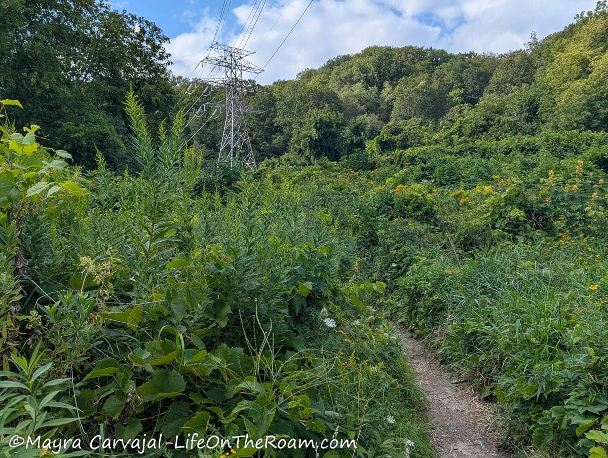
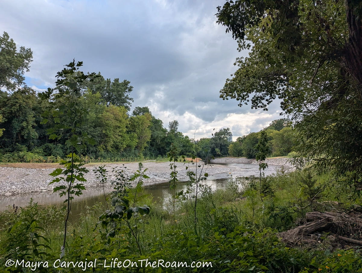
We walked with the river on the left and the train tracks on the right until we went up to the exit into the Crothers Woods hiking area (shortly after you pass the bike tracks).
The path towards Bayview Ave. takes you to a bus stop (at Nesbitt Dr.). Bus 28 will take you to the Davisville subway station.
Things you need to know before you step on this trail:
-Since it runs close to the river, I would avoid it during or right after rain.
-There’s erosion in some sections. Another reason to stay out of it when it rains.
-Even though the trail is short (we did it in about 35 minutes), be aware that once you access it there’s no way out until you reach the other trailhead. There’s a (seasonal) water fountain and washrooms north of the E.T. Seton Park parking lot close to the Charles H. Hiscott Bridge.
Make sure to refill your bottle before starting the hike.
How to Get There
-The north trailhead is on the south end of E.T. Seton Park, between Park Area 1 and 2. If you get to the park by bus, the closest access ramp is at 75 Thorncliffe Park Dr.
-You can also walk there from the Wilket Creek trail or Sunnybrook Park.
Got travel medical insurance? Get an instant quote from SafetyWing.
Because you never know…
Crothers Woods Trails
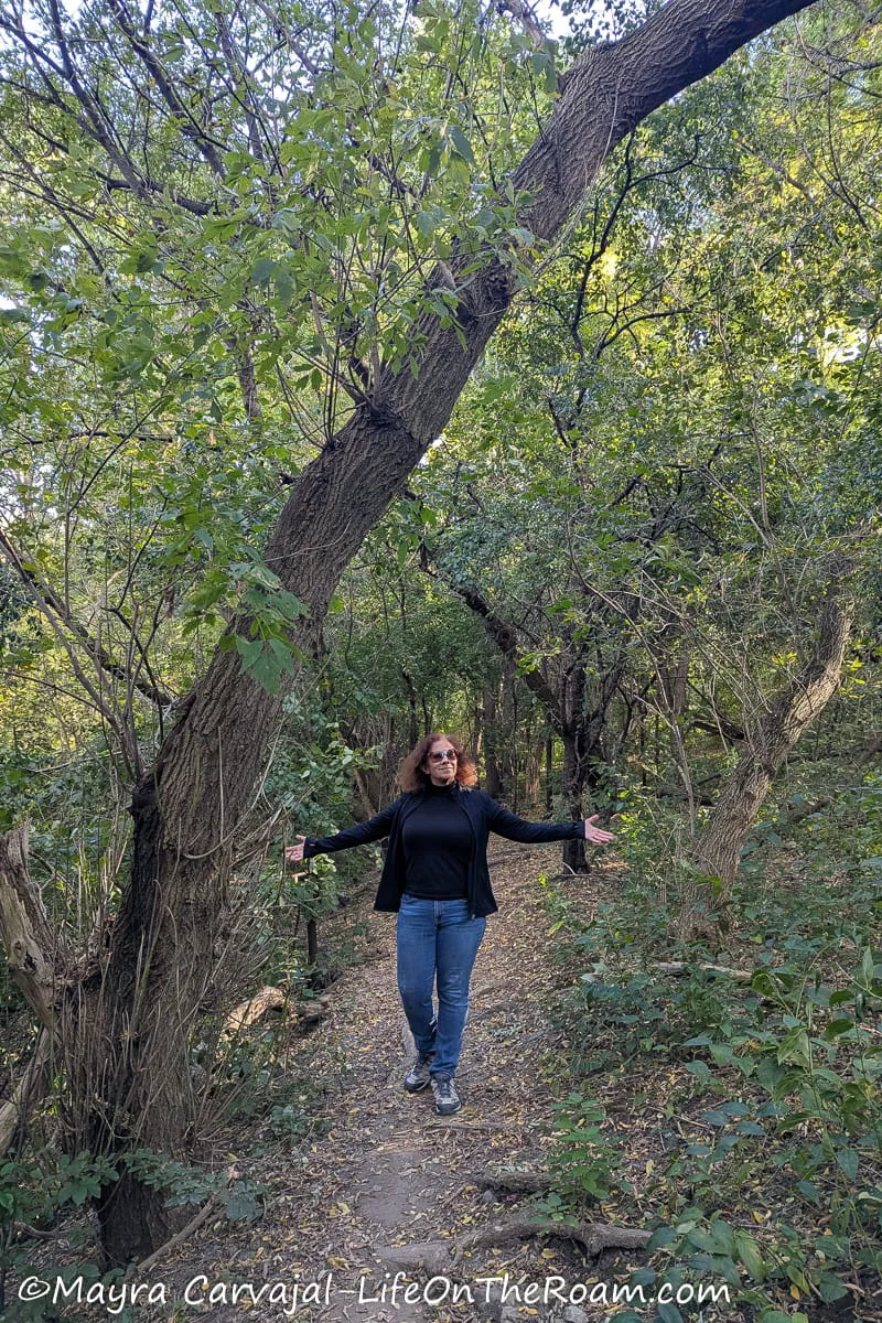
Level of Difficulty: Easy to Moderate.
This wonderful network of hiking trails traverses a dense forest of maple, oak, and beech, making easy to forget that you’re in the middle of the city.
Here, the experience is as close as it gets to a hike or a bike in the woods (but right in the city), with winding dirt trails along the top of deep ravines offering spectacular views. This is my favourite hiking area in the heart of Toronto.
The total combined length of the short trails is 9.8 kilometres (6.1 miles). They’re connected and there’s plenty of signposts and maps to find your way.
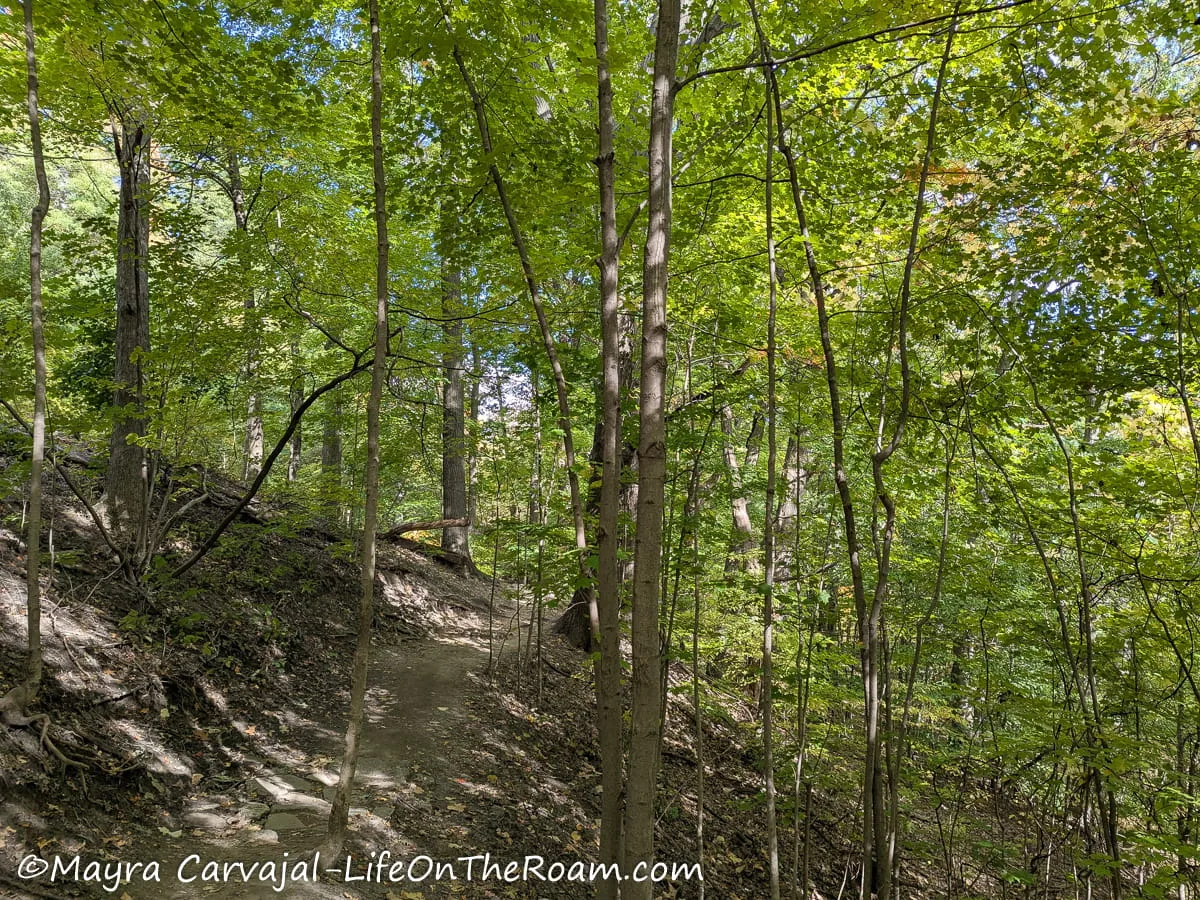
The Thomas Hauser Memorial Trail, with dirt paths that are on the narrow side and with slight changes in elevation, is one of the best trails. Especially if you take the Intermediate level path as you’ll be at a higher elevation, with a nice view of the forest canopy.
For an easier route you can do the Sun Valley Loop, which is inside the Thomas Hauser trail.
Another easy, flat and short loop is the Cottonwood Flats; it takes you around a meadow and a wetland that used to be an industrial site.
From here, you can go back to any of the trailheads, connect directly to the Lower Don Trail or, like we did, take the longer and more scenic route via Pottery Road to the Lower Don. The narrow trail offers views of forest canopy and the Don River down in the ravine.
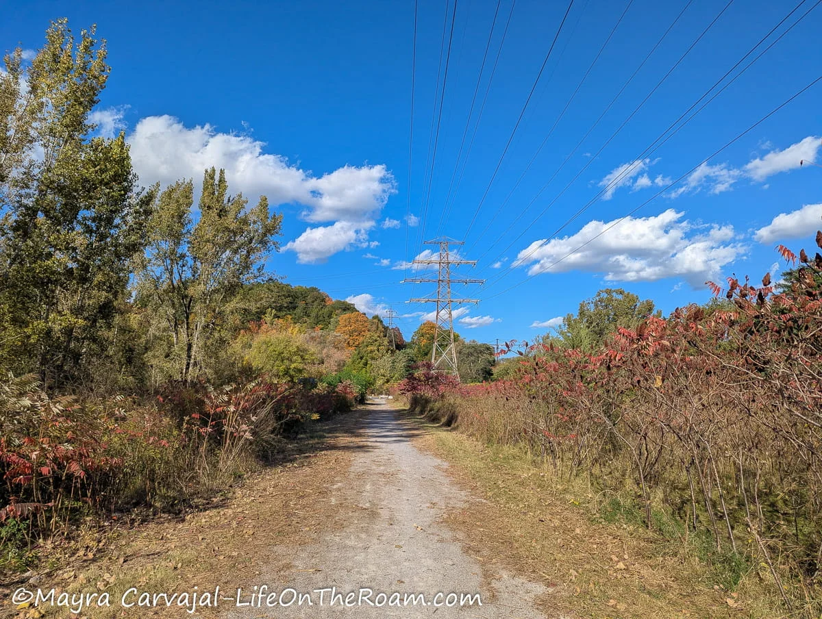
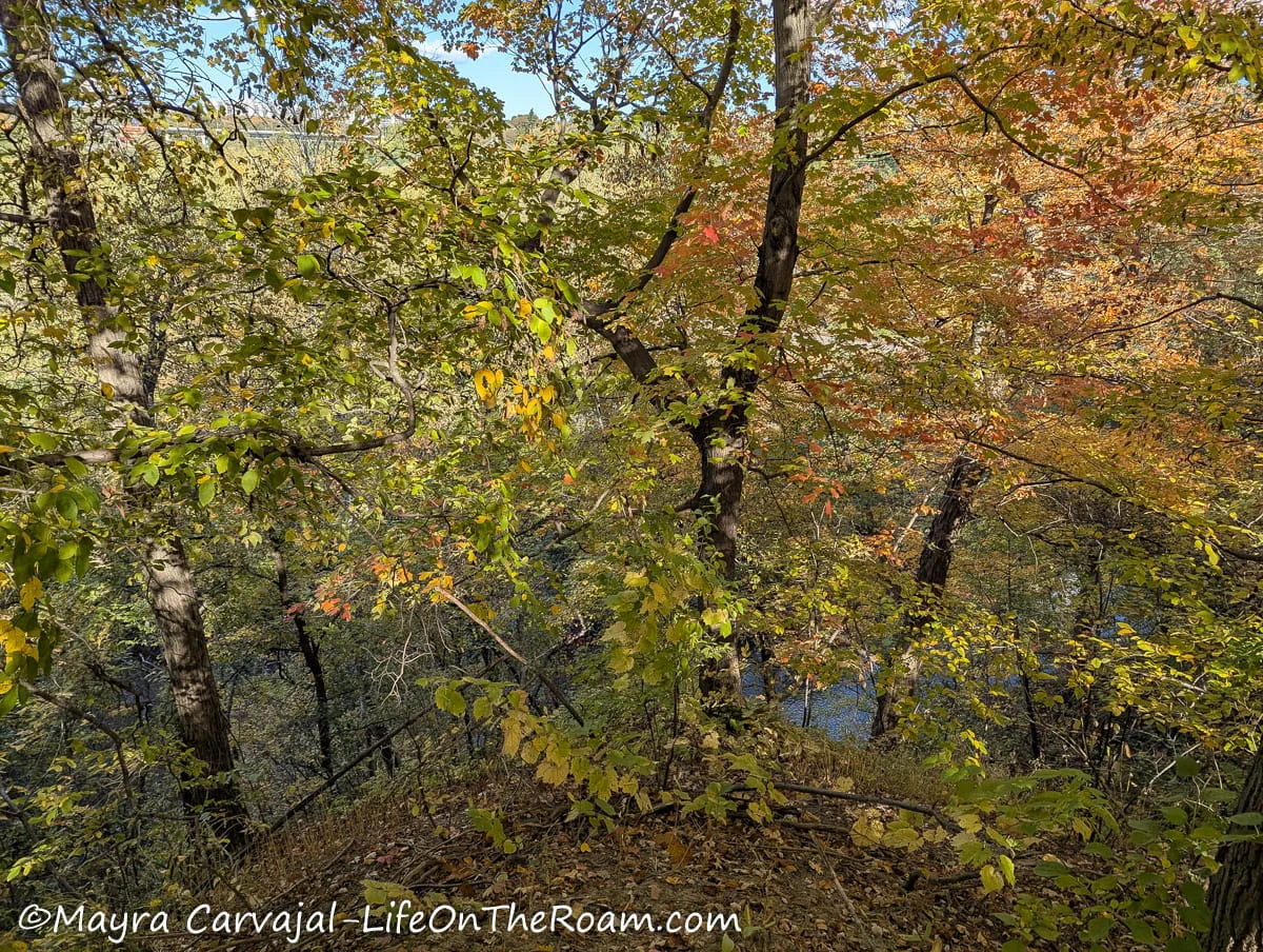
Once we reached Pottery Road we connected to the Lower Don Trail south towards downtown.
How to Get There
-The easiest way to get here in public transit is from the Davisville subway station. Hop on bus 28 (Bayview South) and get off at Nesbitt Dr. Cross to the other side of Bayview Ave. Turn right, walking downhill past the bridge.
Shortly you’ll see the trailhead (there’s a tiny parking lot there).
-There’s another access from the parking lot at the Thomas Hauser Memorial Trailhead.
-You can also start (or end) at the trailhead on Pottery Road or you can connect with these trails via the Lower Don trail.
Cedarvale Ravine
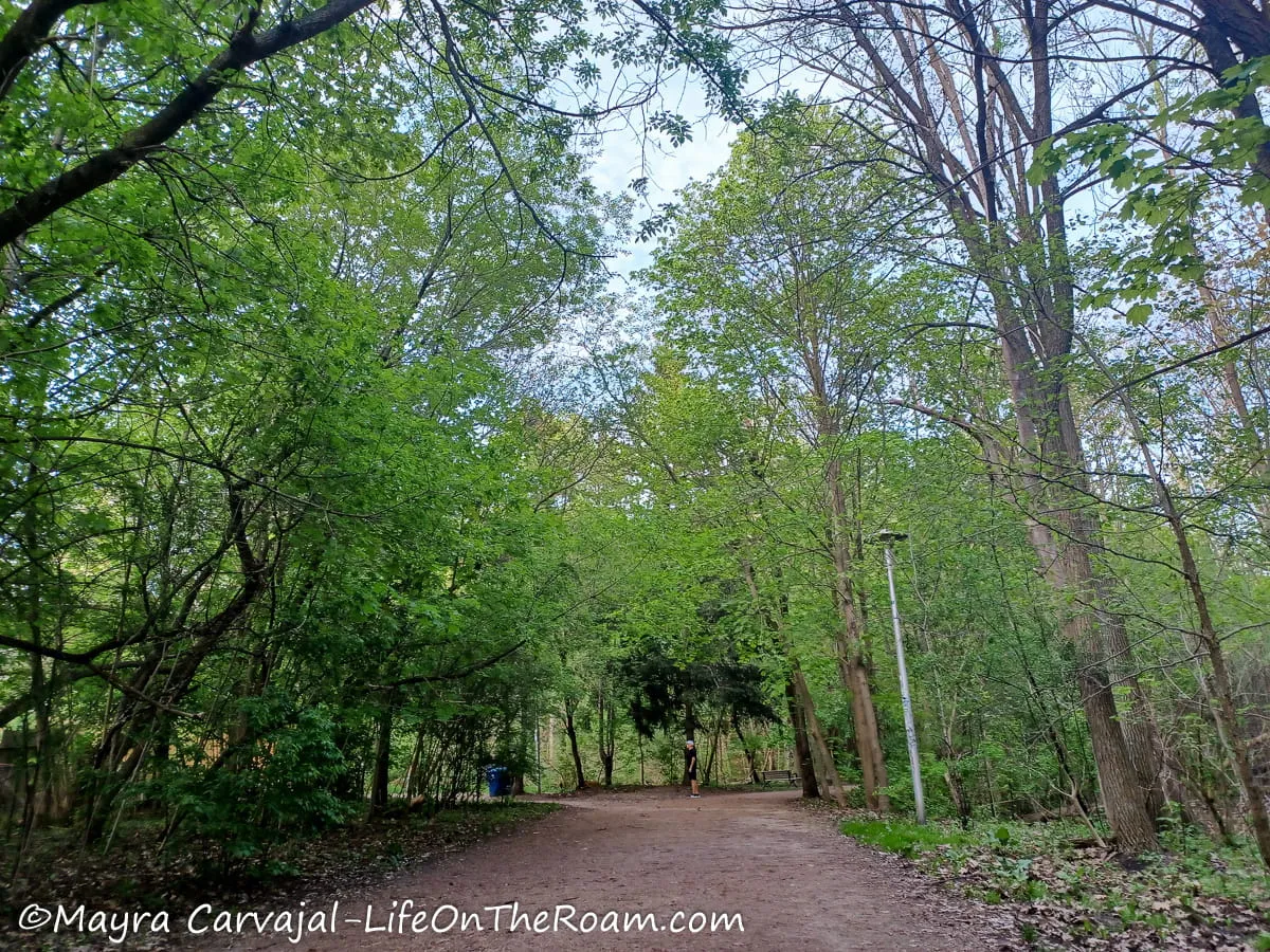
Level of Difficulty: Easy. Mostly flat with a slight incline.
This 2-kilometre trail (1.25 miles one way) traverses Cedarvale Park from the north border at Ava Road to the south end on Tichester Road.
If you start from Ava Road and head south, for the first 700 metres you’ll walk on a paved path along an urban park.
Once you go past the dogs’ off-leash area, it feels more like a hike as the path turns to gravel and you’re surrounded by steep hills covered by mature trees.
I loved walking along the creek to see waterfowl playing in the water and look for frogs and other amphibians. Be aware that after heavy rain the creek overflows and the path can be quite muddy.
After you walk under the Bathurst St. Bridge you’ll be next to a wetland with tall grasses that are habitat for many birds (good birdwatching opportunities). There’s also plenty of wildflowers and butterflies.
As you head towards the south end, big trees start dominating the landscape again until you finish on Tichester Road, where you’ll find an outdoor gym. If you want to stop for a snack before ending your hike, you can do a quick diversion to Suydam Park where you’ll find picnic tables.
How to Get There
-The access through Ava Rd and Everden Rd (north end of the park) is two blocks south of the Cedarvale subway station.
-The access through Tichester Rd. (south end) is right next to the St. Clair West subway station (Heat St. exit).
-There are additional lateral access points.
Midtown Toronto Trails Map
Below you can find a map of the midtown trails listed above.
BEST HIKING TRAILS WEST TORONTO
Western Ravine Trail in High Park
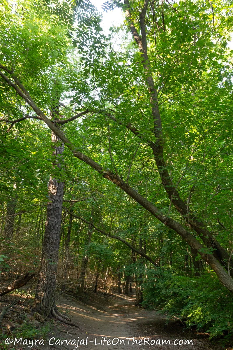
Level of Difficulty: Easy to Moderate with slight to medium inclines.
In addition to having plenty of walking paths connecting its gardens and open spaces, High Park also has a forest area crossed by dirt trails.
The hiking trails are beautiful, with many trees, many birds, and some changes in elevation. Since they’re interconnected it’s easy to cover the entire area, which goes from the Grenadier Pond to the central area of the park.
How to Get There
The closest subway stations to High Park are Keele and High Park. Limited parking available.
West Toronto Railpath

Level of Difficulty: Easy. Paved flat surface.
If you’re in the hip and diverse Junction area in Toronto you can step on this historic paved path for a continual 2.1-kilometre walk (1.3 miles one way) along a lineal park.
In the past, this was an industrial area where two main railways crossed paths.
This isn’t a scenic walk that submerges you in nature. It’s a walk alongside a tree line-up and a fence that separates you from the train tracks.
It’s a cool and different thing to do if you’re in the area.
How to Get There
-To access the northern trailhead take bus 26 from the Dupont subway station and get off at Osler St. Walk one block north to start the trail at Cariboo Ave. or bus 127, get off at Osler and walk one block south.
-The southern end is at Dundas St. West and Sterling Rd., from where you can take the Dundas Streetcar.
-There are several access points along the way.
Humber River Recreational Trail (and the Oculus Pavillion)
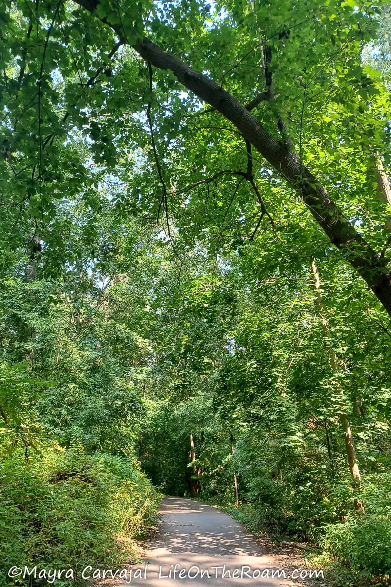
Level of Difficulty: Easy. Mostly flat
This 22-kilometre multi-use trail (13.6 miles) runs along the Humber River, from Steeles Ave. in the north to the Humber Bay bridge in the south, at Toronto’s West End waterfront.
The Humber River was designated a Canadian Heritage River. This was a pathway used by Indigenous Peoples to establish settlements and a commercial route during the fur trade.
Not only can you enjoy views of the river, but you’ll also find many beautiful parks along the way that provide easy access to the path as well as historical plaques.
We accessed the trail via the stairs that take you from Bloor St. West down to the river. The length from here to Lake Ontario is about 3.5 kilometres (2.2 miles).
After getting off at the Old Mill subway station we walked east towards the bridge, which is a few steps away after you go past building No. 2662.
We landed on King’s Mill Park and we then walked south on the paved trail, flanked by trees.
If you’re into birdwatching, you’re in the right place. The Humber Marshes are a habitat for several species of birds. To get closer to the marshes and see more wildlife you can rent a canoe, kayak, or SUP at the shop that’s under the Bloor St. bridge.
And if you have your own equipment, you can use any of the boat launch pads along the trail.
Further south, at South Humber Park, you’ll find an oddity: The Oculus. A pavilion built in 1959 that resembles half a spaceship.
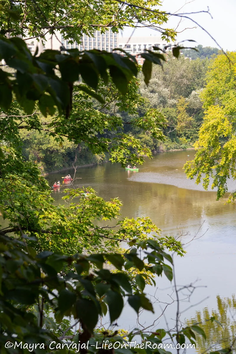
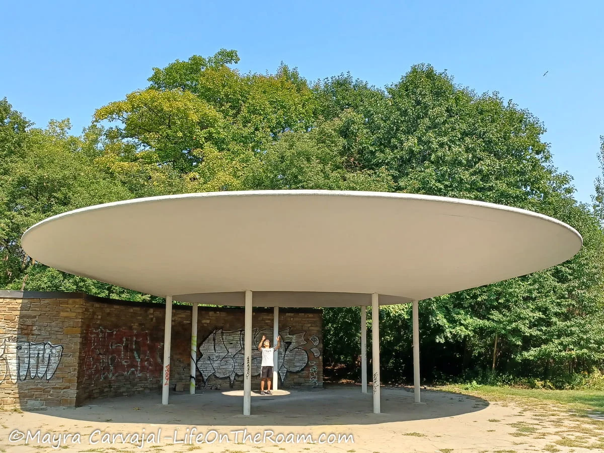
From here on the trail is more open, with a little bit less trees and a little bit more tall grasses as you approach Lake Ontario and the Humber Bay bridge, a landmark in the city that marks the end/start of the path.
Want to keep going? Step on the Martin Goodman Trail and walk along Toronto’s waterfront.
Seasonal washrooms available.
How to Get There
-The northern trailhead is located at the Rowntree Mills Park near Steeles Ave. West and Markbrook Ln. There’s a bus stop at this intersection, a 4-minute walk from the park entrance.
-The southern trailhead is at the Humber River bridge, which can be reached by bus from a couple of stations on the Bloor Line or the streetcar along The Queensway.
-But there are many access points through the many parks along the way. As I mentioned above, we took the stairs from the Bloor St. West bridge next to the Old Mill subway station.
Etobicoke Creek Recreational Trail
Level of Difficulty: Easy. Mostly flat.
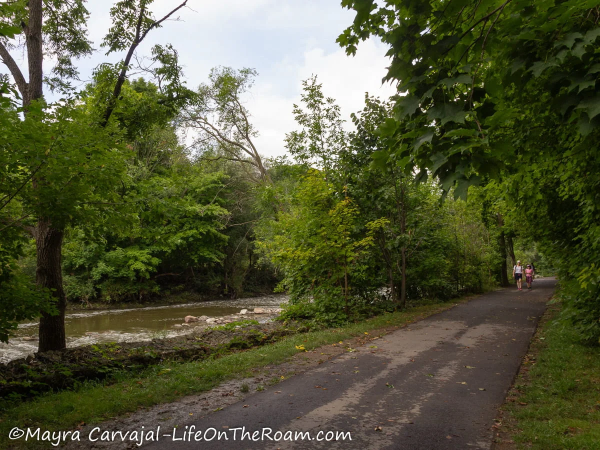
This scenic multi-use trail runs north-south along the Etobicoke Creek, from Brampton to Mississauga and all the way south to the waterfront on the west end of Toronto (west side of Etobicoke).
I completed the lower section, starting at Marie Curtis Park in the waterfront up to Middle Road Bridge (located between the Queen Elizabeth Way and the Queensway), which is about 3.4 kilometres one way (2.1 miles).
The trailhead at Marie Curtis Park, which intersects with the Waterfront Trail, was really easy to find as the Etobicoke Creek flows right through the centre.
From there, I walked north on the paved path that follows the creek, where you can see plenty of waterfowl. Up to the underpass of the GO train tracks, the scenery resembles most large urban parks of Toronto with open spaces and mature trees.
My favourite section is further north when you start feeling like you’re in a forest (except for the pavement) as you see more and more trees. Keep your eyes peeled for Downy woodpeckers, Kingfishers, and Great blue herons.
This magic lasts until you reach the big open space in the Etobicoke Valley Park North.
After you go through the underpass of the Queen Elizabeth Way (the only unpaved portion of the path), you’ll be surrounded by an open field covered with wildflowers (butterflies galore) and a few trees.
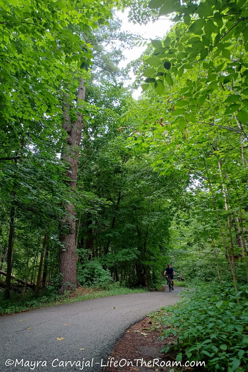
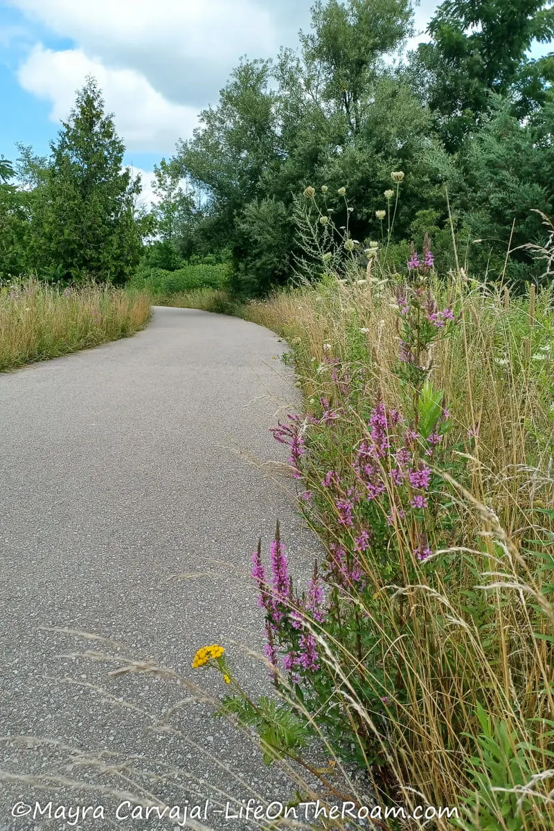
Once I reached Sherway Dr. I turned left to cross the Middle Road Bridge and ended up in a residential area.
At this point I retraced my steps to go back to the waterfront. For now, if you want to keep going you have to go through the streets to rejoin the trail further north. According to the city, plans are on the works to build a continuous path.
There are bathrooms and (seasonal) water fountains at Marie Curtis Park.
How to Get There
-The quickest way from Toronto Union station is to hop on the Lakeshore West GO train and get off at Long Branch. From there, walk south towards Forty Second St.. Once you’re in the park go west to find the trail.
-You can also take the 507 streetcar to the Long Branch Loop.
West Toronto Trails Map
Here’s the map of the trails in West Toronto:
BEST HIKING TRAILS NORTH TORONTO
Blythwood Ravine-Sherwood Park-Sunnybrook Park
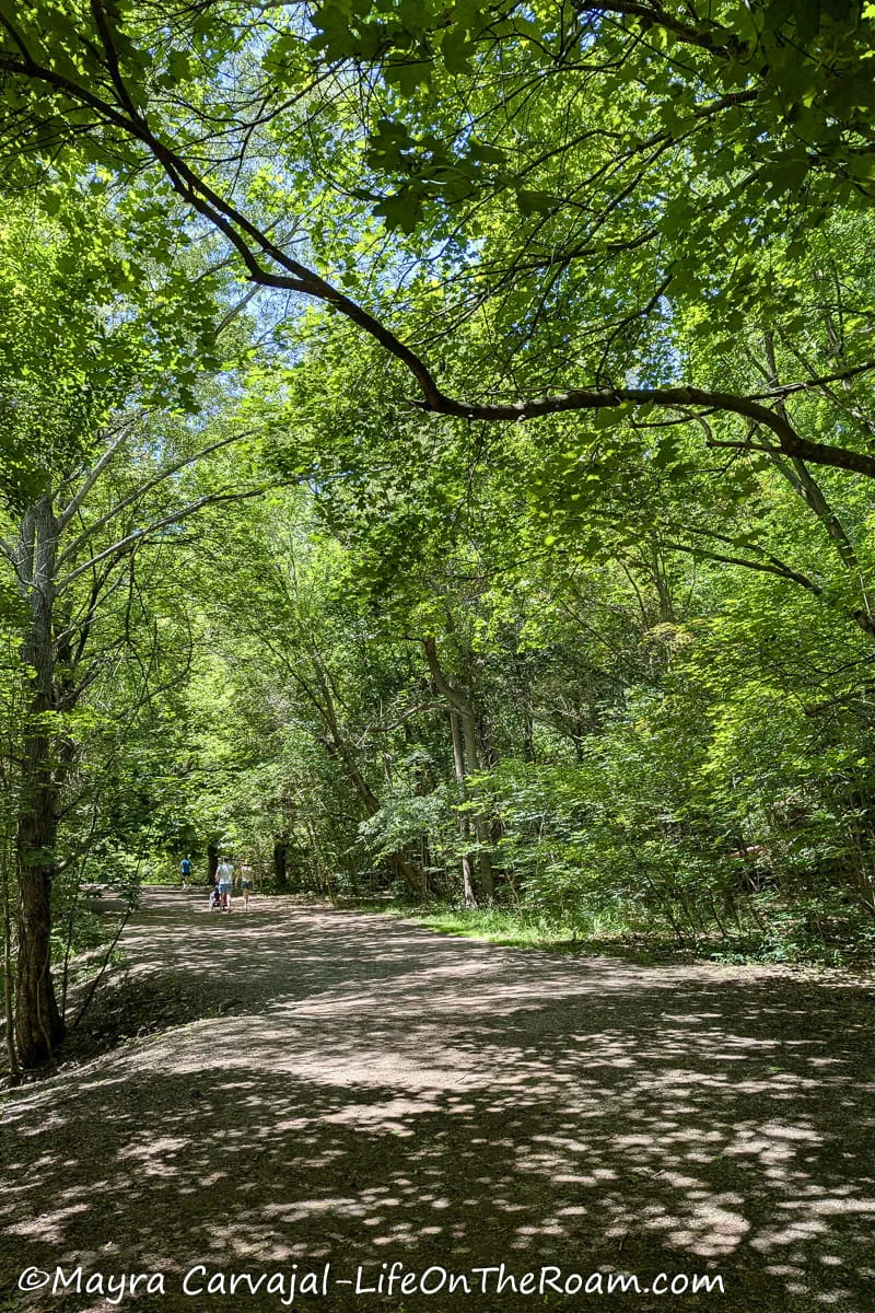
Level of Difficulty: Easy. Mostly flat with uneven terrain and slight inclines in some sections
I loved the scenery of these interconnected trails that follow a dirt path surrounded by beautiful towering trees.
We started the hike at the north end of Blythwood Ravine, accessing the trail from the Alexander Muir Memorial Garden.
After going through the tree-lined path of Blythwood we crossed the road to enter the Sherwood Park ravine, immersed in a gorgeous forest with different species of trees, some of them over 150 years old, while enjoying views of the small stream of Burke Brook.
Be aware that bicycles are not allowed through this park.
The path leads to a boardwalk that goes through the dense forest at Sunnydene Park until you hit Bayview Avenue.
Cross the road to enter the woods of Sunnybrook Park and follow the dirt trail along the stream. However, check for possible closures as there’s an ongoing restoration project of this section.
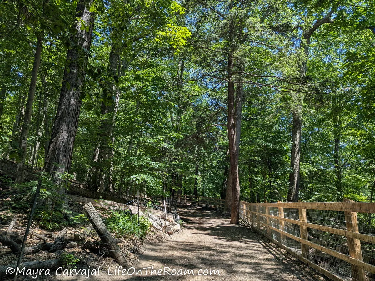
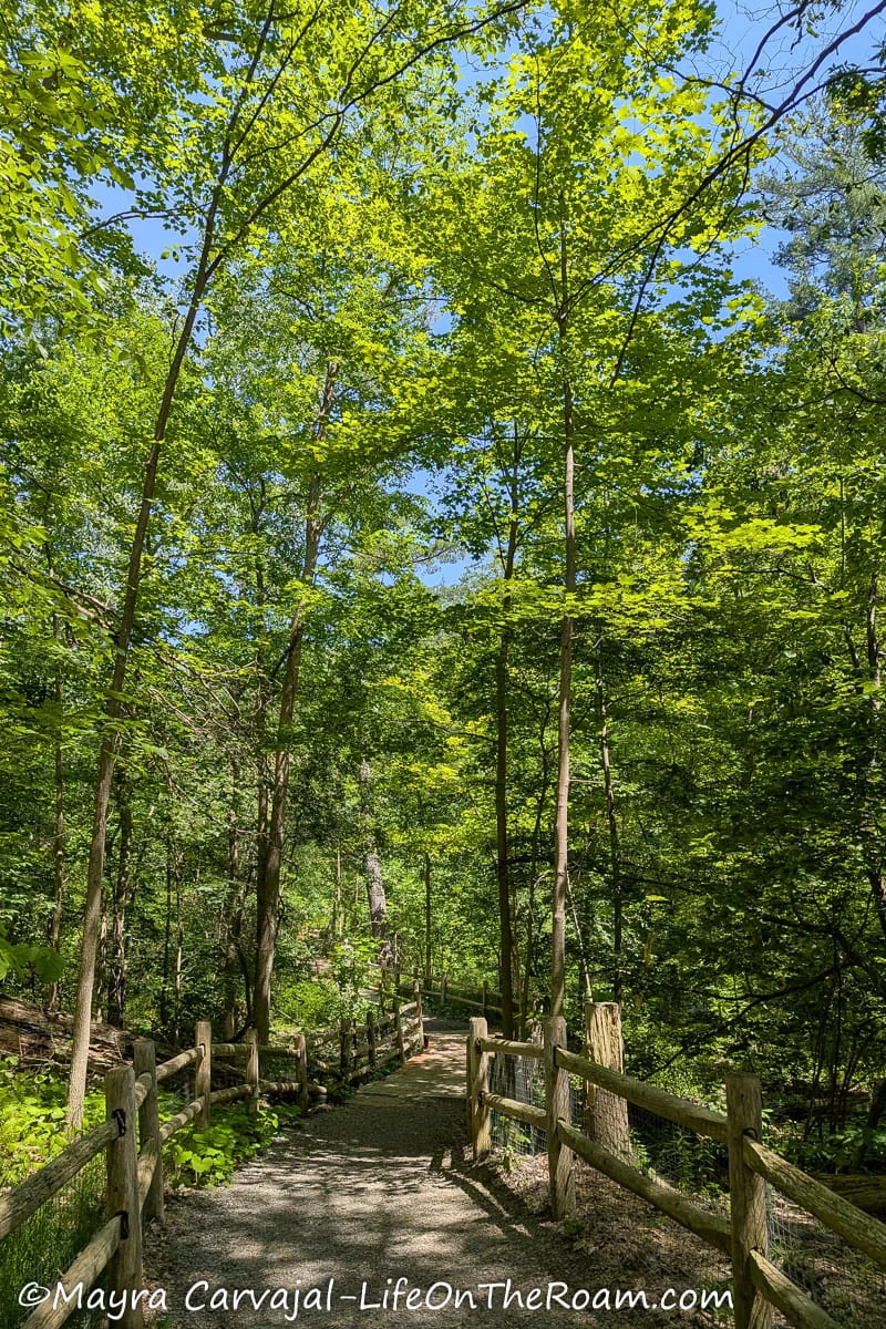
Otherwise, you can take the detour along Kilgour Rd. and access the Sunnybrook Park trail at a further point until you reach the open areas of the park.
From here, you could connect to the Wilket Creek Recreational Trail and other trails (read next section) to reach the path along the Don River.
How to Get There
From the Lawrence subway station walk south, past Yonge St. and Edmund’s Dr. Either walk down to the Alexander Muir Rd. or access the Blythwood Ravine through the Alexander Muir Memorial Garden, which is a pretty little park.
Wilket Creek Recreational Trail-Serena Gundy Recreational Trail-West Don Trail
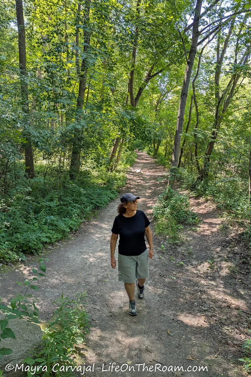
Level of Difficulty: Easy. Mostly flat, with a slight to moderate incline in some sections.
I grouped these three trails since they’re closely connected; we easily went from one to the next and completed them in a few hours. They take you through several parks, following creeks and the Don River.
Wilket Creek Trail
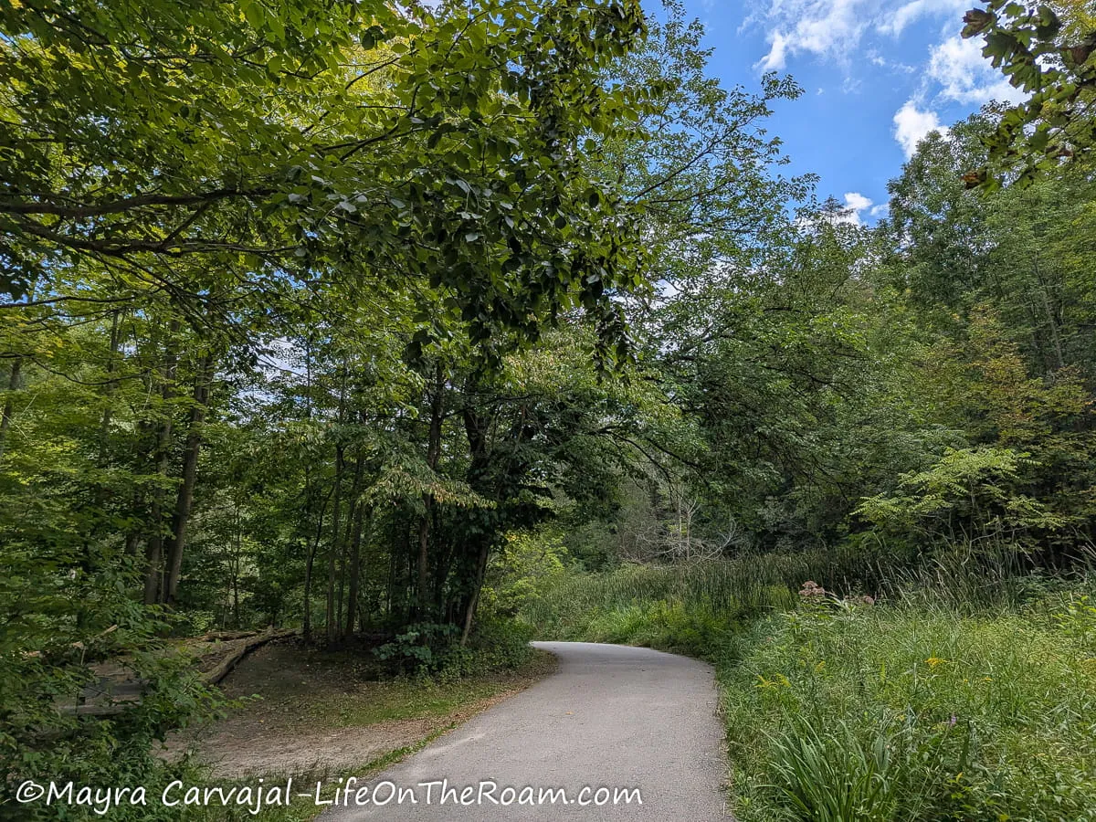
We started at the northern trailhead, located on the south side of the Edwards Gardens (part of the Toronto Botanical Garden, a small but very pretty park).
The multiuse paved trail, flanked by tall trees, takes you through the long Wilket Creek Park and along the stream. You’ll find several bridges from where you can see the water rushing through the rocks.
You’ll eventually hit a fork on the path where you’ll find washrooms, a water station, and nearby picnic areas. From now on, if you keep going south the scenery will change as you enter more open areas of the park and you can step on the West Don Trail.
Or you can walk west and visit the Sunnybrook Park and the Serena Gundy Park trail. Or you can have a fun outdoor day and do all of the above.
Serena Gundy Recreational Trail
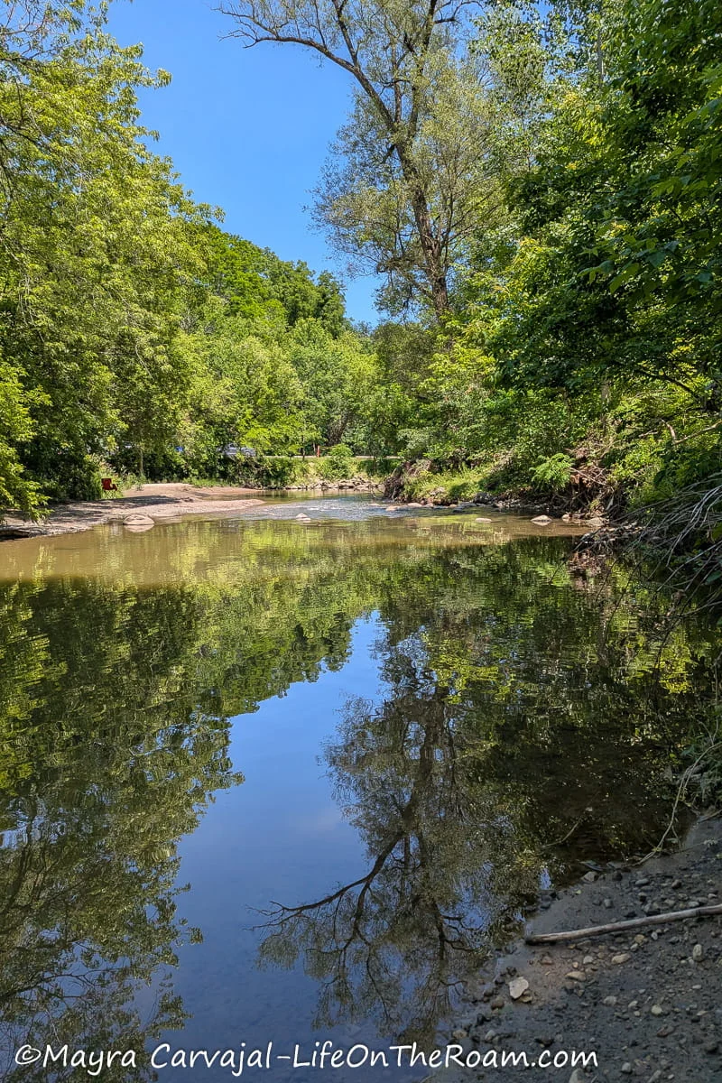
These trails are the most scenic of this group. They’re dirt trails that go through the woods with subtle changes in elevation and close to a creek, so it’s like a hike in the woods. The Recreational Trail starts/ends at Sunnybrook Park.
There’s another beautiful dirt trail that you can access through the forest, south of Picnic Area #3. It will take you down to E.T. Seton Park and connect with the West Don Trail.
West Don Trail
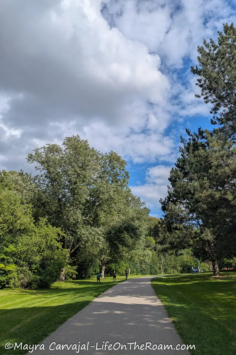
Starting on the south side of Wilket Creek Park, this multiuse paved trail goes through E.T. Seton Park and connects to the Lower Don Recreational Trail.
Out of the three trails, this is the one that’s closer to a walk in an urban park with wide open spaces and clusters of tall trees.
You’ll find picnic areas, washrooms and water fountains, and a disc golf course.
How to Get There
There are multiple access points to these three trails, I’ll list the main ones below.
-Wilket Creek Northern Trailhead: to start from the top, access through the Edwards Gardens at the Toronto Botanical Garden at 777 Lawrence Ave. East.
By car: there’s paid parking at the garden.
By bus: the most direct way (depending on your starting point) is to take bus 162 from the Lawrence subway station.
There are several access points to this trail along Leslie St. and the Sunnybrook Sports Fields.
-West Don Trail Northern Trailhead: The West Don Trail connects with the Wilket Creek Trail.
By car: you can access the trailhead at Parking Lot #2 at Wilket Creek Park.
By bus: there are stairs leading to Eglinton Ave East (at Leslie)
-West Don Trail Southern Trailhead: this trail starts/ends at E.T. Seton Park
By car: there are several parking lots at E.T. Seton
By bus: the closest access ramp is at 75 Thorncliffe Park Dr.
Black Creek Recreational Trail
Level of Difficulty: Easy. Mostly flat with slight to moderate inclines
It’s worth coming all the way here to do this pretty trail if you combine it with a visit to the adjacent Village at Black Creek, an open-air history museum.
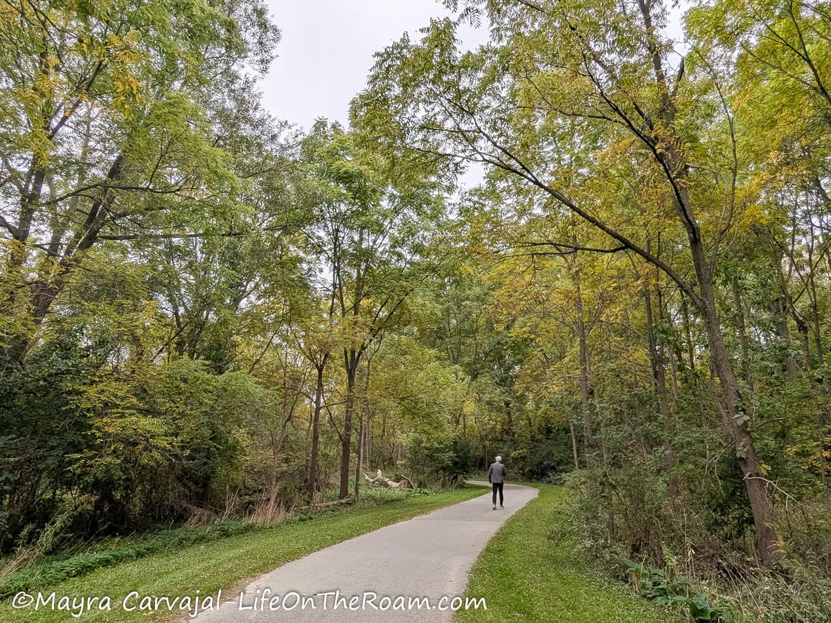
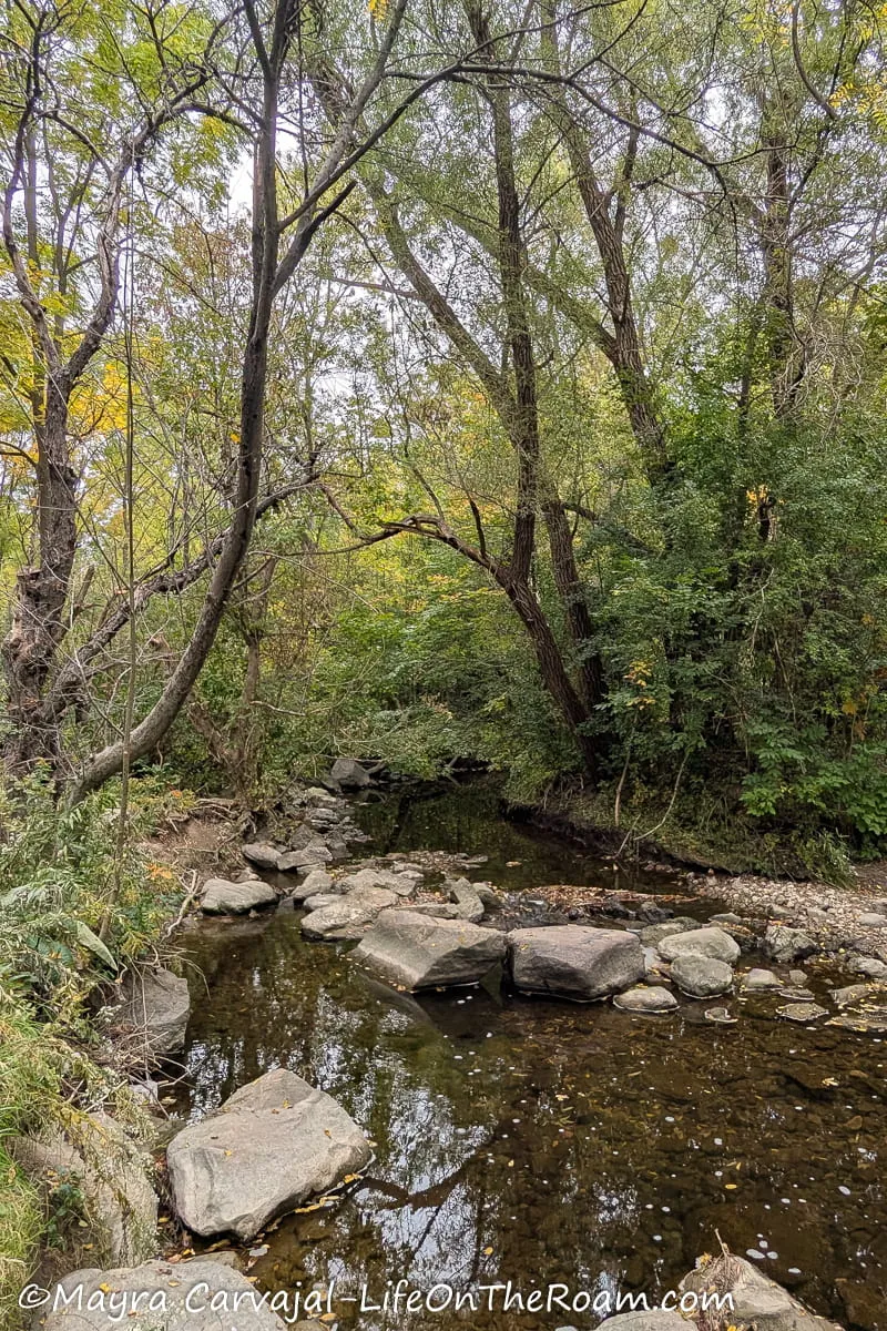
Starting from a road off the Village parking lot, the 2.5-Kilometre paved path (1.5 miles) takes you down to the lush ravine of Black Creek Parkland, following a creek surrounded by plenty of trees.
Since you’re in a valley, you’re sheltered from noise and you can hear the chanting of birds. It’s quite peaceful.
At some point you’ll find Rudy’s Garden, a beautiful section created and planted by volunteer Rudy Riske.
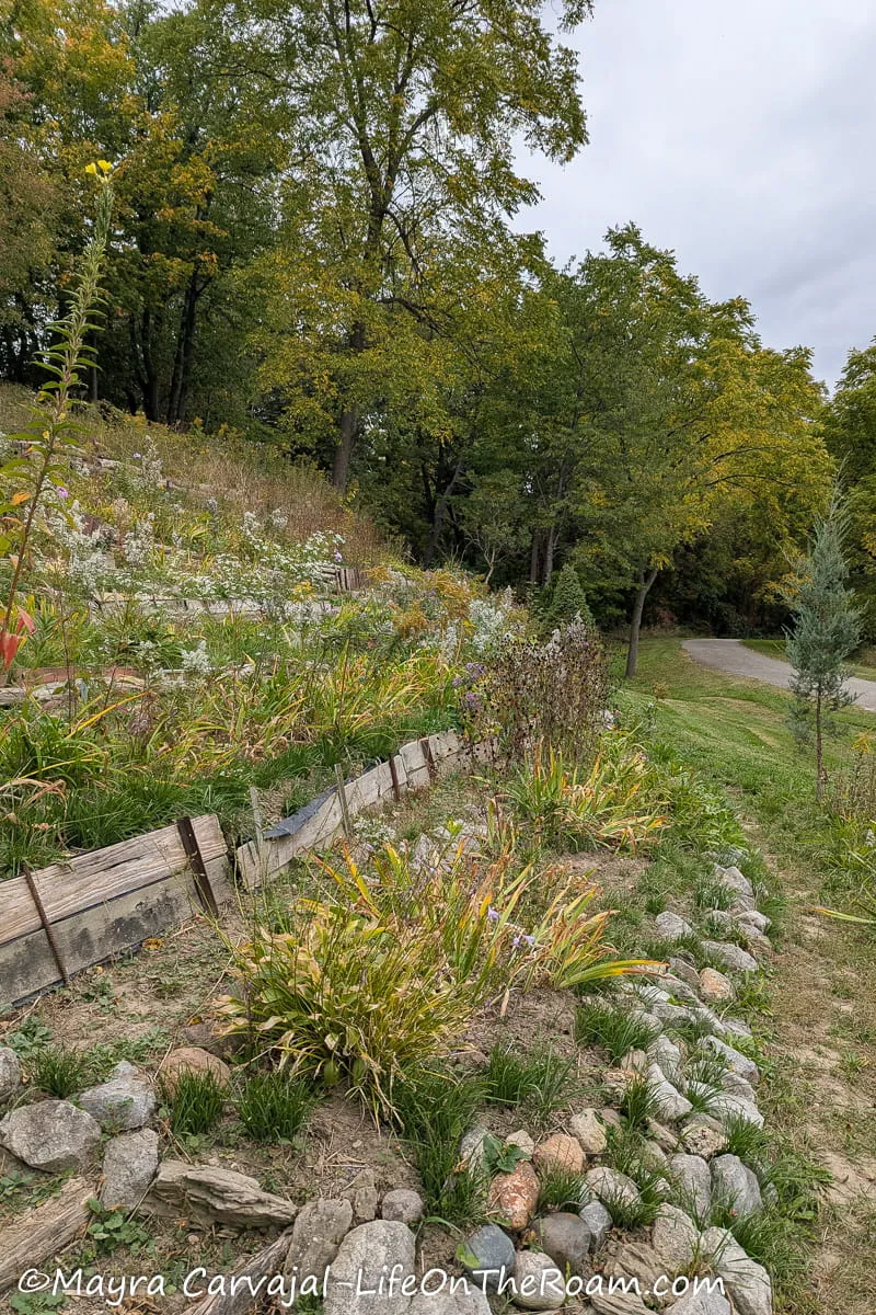
A few steps later you can stay on the trail (the prettier route) and exit at the nearby Finch Ave West, or you can walk a little bit further by taking the Finch Hydro Corridor Recreational Trail.
Not as scenic as the Black Creek since it’s a walk through an open field with power lines.
How to Get There
-From the Pioneer Village subway station you can walk west on Steeles Ave and then south on Murray Ross Parkway. When you see the Village parking lot, walk west towards the bar gate and look for the trailhead sign.
-You can also take the 108 bus from the Pioneer Village station, get off at Shoreham Dr. and then walk across the parking lot.
North Toronto Trails Map
BEST HIKING TRAIL EAST TORONTO
Tommy Thompson Park
Level of Difficulty: Easy. All trails are flat.
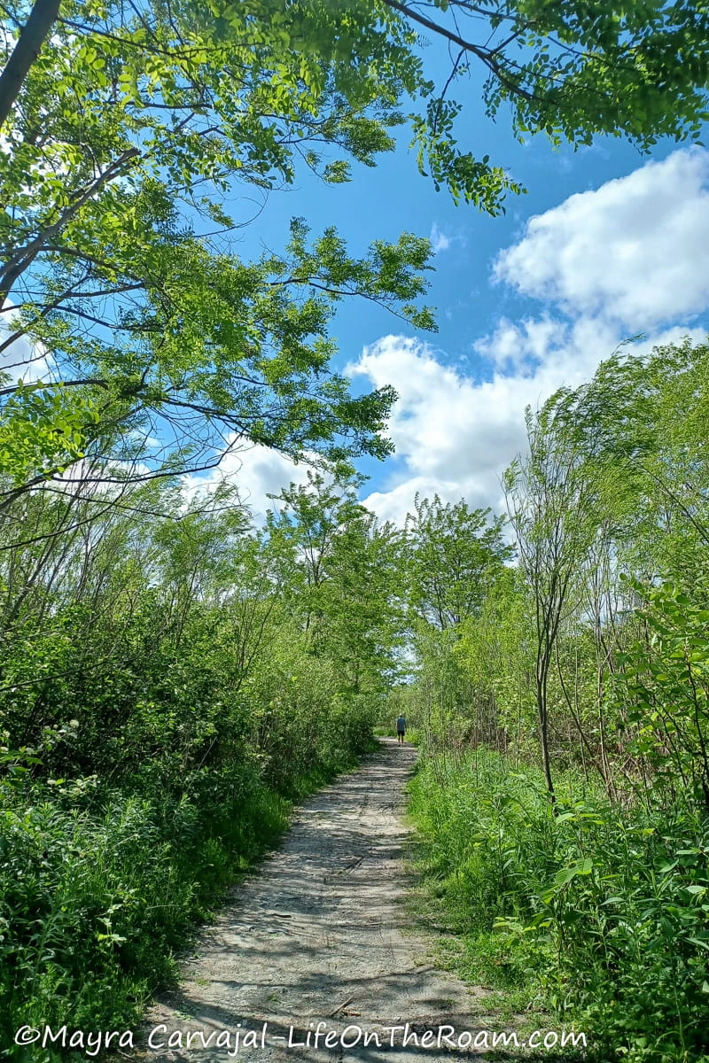
This 250-hectare pedestrian-only park, aptly named “Toronto’s Urban Wilderness”, offers 18 kilometres of paved and dirt trails, some multi-use (cycling, roller blading) and others strictly for hiking/walking. If you visit during the winter, you can add snowshoeing and cross-country skiing to the list of activities.
It’s hard to imagine that before 1959, this piece of land didn’t exist. Construction debris and sand were poured into the lake to build a site to expand port activities. By 1973 the city realized the port didn’t need all that land, and Tommy Thompson Park was born.
We walked on the nature trails while spotting birds and butterflies across large fields of wildflowers. Near the shore, you can catch a phenomenal view of the Toronto skyline on the west side, and the blue horizon of Lake Ontario on the east.
If you follow the main trail to the southernmost tip of the peninsula you’ll reach Lighthouse Point, which resembles a beach-like setting with broken tiles instead of sand. A great place for skipping rocks, if that’s your thing.
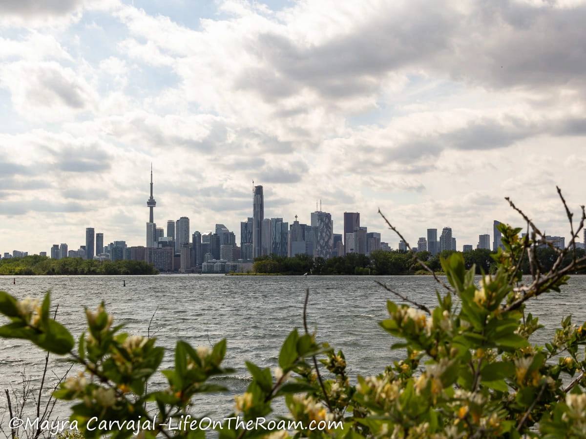
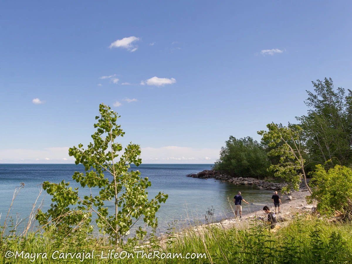
The only (seasonal) water station is near the entrance of the park, close to the only full-service washrooms in the park.
How to Get There
-By bus: You can take the 83 Jones Southbound bus to Commissioner’s St from the Donlands subway station.
-By bike/on foot: The Martin Goodman Trail/Great Lakes Waterfront Trail runs along the entrance of Tommy Thompson Park.
-By car: drive to 1 Leslie St. Parking available near the entrance.
Tommy Thompson Park
1 Leslie St., Toronto; Mon. to Fri.: 4PM-9PM; Sat. & Sun.: 5:30AM-9PM; No motorized vehicles and no dogs allowed (even friendly dogs scare wildlife as they’re seen as predators). Parking available near the entrance.
Glen Stewart Ravine

Level of Difficulty: Easy (From north to south). Most of the trail is on a boardwalk.
This short and picturesque trail is a great thing to do when visiting the trendy area of The Beaches.
Starting at the north end, we stepped on the wooden stairs that go down to the deep ravine, surrounded by a forest of red and white oaks, black cherries, yellow birch, red maples and hemlocks.
During the first section of the boardwalk you’ll have a view of the higher tree canopy, where you can spot downy woodpeckers, northern cardinals, black capped chickadees and white breasted nuthatches, along with over 100 species of migrating birds. You’ll then follow Tomlin’s Creek, where the terrain switches back and forth between gravel and boardwalk.
Once you reach the road (Glen Manor Dr. East), you can turn left and walk down the street until you see the stairs down to Glen Manor Bridge.
Cross the bridge to walk south on Glen Manor Dr. West, where you find a park-like setting with some picnic tables.
Across the street, you can visit the very small Ivan Forrest Gardens, with a pretty tree-lined path and a small waterfall. You’ll end up on Queen St. East, at the heart of The Beaches with many nice cafés and stores.
You can walk all the way down to the beach boardwalk or step on the Martin Goodman Trail to go back to downtown Toronto.
Note: it’s best to avoid this trail during or right after rain as the boardwalk can be slippery.
How to Get There
From downtown Toronto take the eastbound 503 streetcar and get off at the Kingston Rd at Beech Ave. stop, walk south half a block, and you’ll find the trailhead inside a small park.
Trails at the Rouge National Urban Park
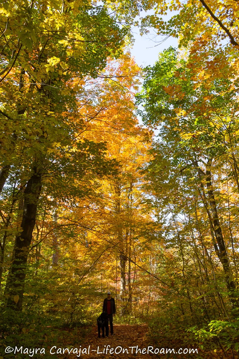
Rouge National Urban Park is the largest urban park in the Greater Toronto Area and one of the biggest in North America, measuring over 79 km2 (30.5 square miles).
You can choose from 14 hiking trails with varying levels of difficulty (Easy, Moderate, and Moderate to Difficult) and duration that can be as little as 15 minutes to as long as eight hours.
We did two trails at Rouge:
Woodland Trail
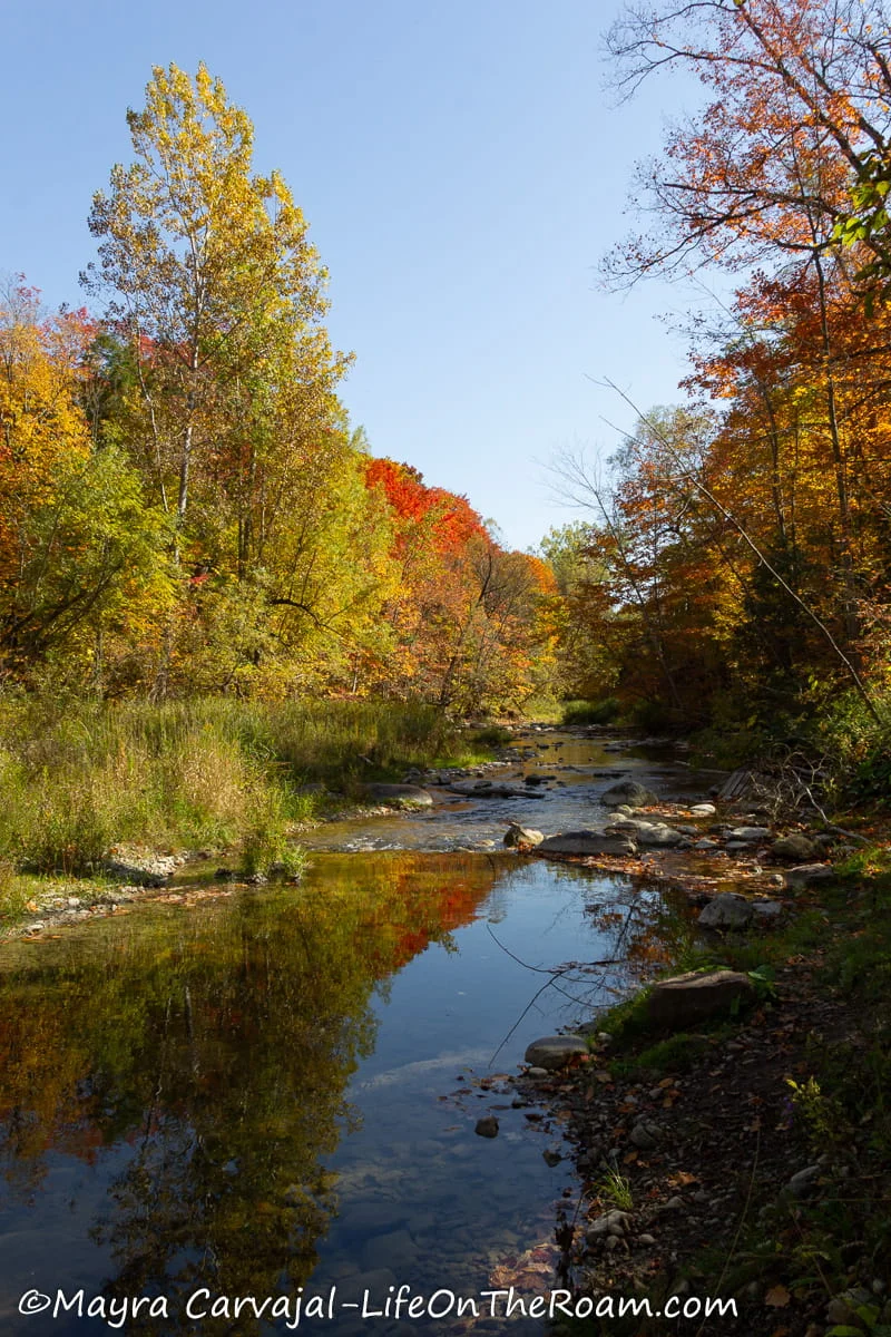
Level of Difficulty: Easy. Mostly flat
This scenic trail leads you through a forest (absolutely gorgeous during fall) and along the meadows bordering Little Rouge Creek.
We did the 3.5 Kilometres (2.2 miles) loop, which is about 1.5 hours and totally worth it, but you can also do the smaller loop if you only have time for a shorter hike.
Limited parking available on site. No washrooms.
The trailhead is located at 19 Reesor Road
Glen Eagles Vista Trail
Level of Difficulty: Easy. Mostly flat
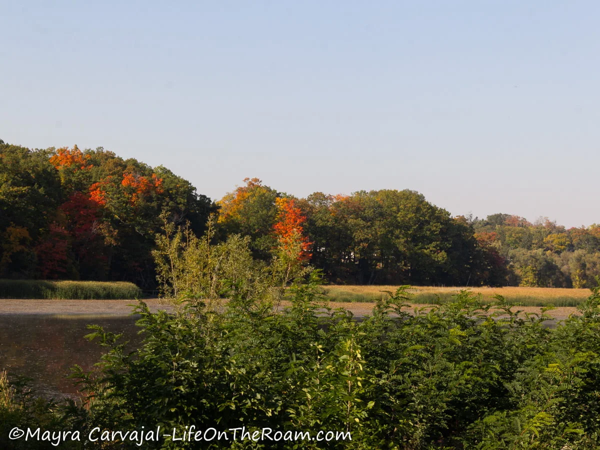
This short trail (only 600 metres (0.4 miles)) takes you to a lookout where you can enjoy views of the Rouge River, the Little Rouge Creek, and the bluff.
Seasonal parking available on site (from May 2nd to October 31st). No washrooms.
The trailhead is located at 7 Twyn Rivers Dr.
How to Get There
Rouge National Urban Park is free and it’s open year-round (parking lots are open from 7:30AM to 9PM -may vary, visit the park’s website for updates)
This park is humongous, with access points that span across four cities so it’s better to know in advance which trails you want to do.
-A few trails can be reached via bus from the Kennedy subway station or the Guildwood GO station.
-Rouge Beach can be accessed from the Rouge Hill GO station on the Lakeshore East Line.
-To access most trails you’ll need a car.
East Toronto Trails Map
Here’s the map with the East Toronto Trails I mention above:
HIKES IN THE GREATER TORONTO AREA
Oak Ridges Corridor in Richmond Hill
Level of Difficulty: Easy.
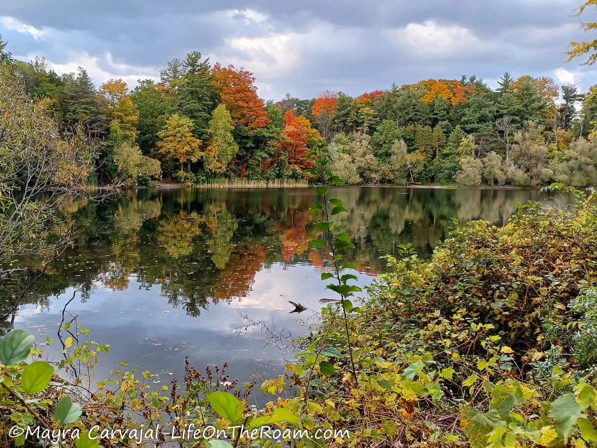
This conservation reserve is located in Richmond Hill, a suburb north of the city that’s part of the Greater Toronto Area. It features several short trails (around 3 Kms. -1.86 miles) and a 10.2-Km. trail (6.3 miles), all non-paved and on the easy side.
I did part of the Oak Ridge Side Trail, which goes around Bond Lake and offers some gorgeous vistas of the forest. Great for birdwatching.
How to Get There
-It’s possible to get here using public transit: you would take the Blue Bus from the Finch subway station, get off at Yonge and Silver Maple and walk 11 minutes north. But it takes too long.
I think it’s worth coming here if you have access to a car and you want to explore a little bit beyond Toronto without going too far.
Despite being a busy city, you can find peace and natural beauty in the trails of Toronto. Get to know the city in a different way exploring the many ravines, the forests, and the urban paths.
When planning your hike, check the city’s website (or the relevant park’s website) for closures or detours.
Want to enjoy the outdoors with less walking? Check out my post about the most beautiful parks and gardens in Toronto.
YOU MAY ALSO WANT TO READ


BOOKING FLIGHTS AND ACCOMMODATIONS
To get from A to B without losing your shirt
Skyscanner: to find cheap flights. Get notified of price drops with the “Price Alert” feature or use “Search Everywhere” to see where you can go without breaking the bank.
To find a place to stay for less
Booking.com: this site combines everything under the sun. You’ll find hotels, apartments, B&B, hostels, rooms, etc., with all sort of filters to make your search a breeze.
Hotwire: the first site I check when we plan to stay at a hotel for a few nights. You can save anything from 20% to 60%. Use the search filter to find what you want and you’ll end up with three listings that match your criteria. You’ll know which one you’ll get after you book. If you can handle a little bit of uncertainty you can score big savings.
House Sitting: you take care of people’s pets and house for free while staying for free. It’s the closest thing to experiencing a place “like a local”. But it comes with responsibilities… Are you an animal lover? It may become your new way to travel.
To get travel insurance
SafetyWing: travel medical insurance that gives us peace of mind knowing that we’re covered in case of emergency. It’s convenient, affordable, and suitable for digital nomads who spend a long time outside their home country.
Check the full list of travel resources on my Resource Page for more options and savings
