You don’t have to stay glued to a chair to enjoy the scenery of Sint Maarten / Saint Martin if you don’t want to get your feet wet.
While lounging on the paradisiac beaches of the island is the main attraction, you can see all that turquoise water and dramatic cliffs when exploring scenic trails.
Can you hike in St Maarten? Yes, there are coastal trails that give you the option of taking a refreshing dip and, since St. Maarten is hilly, you can also take in panoramic views with gorgeous sunsets.
Disclosure: This post contains some affiliate links. If you make a purchase through those links I will earn a commission at no additional cost to you (zero, nada). To check the full disclaimer, click here.
This is where you can hike in St Maarten/St Martin
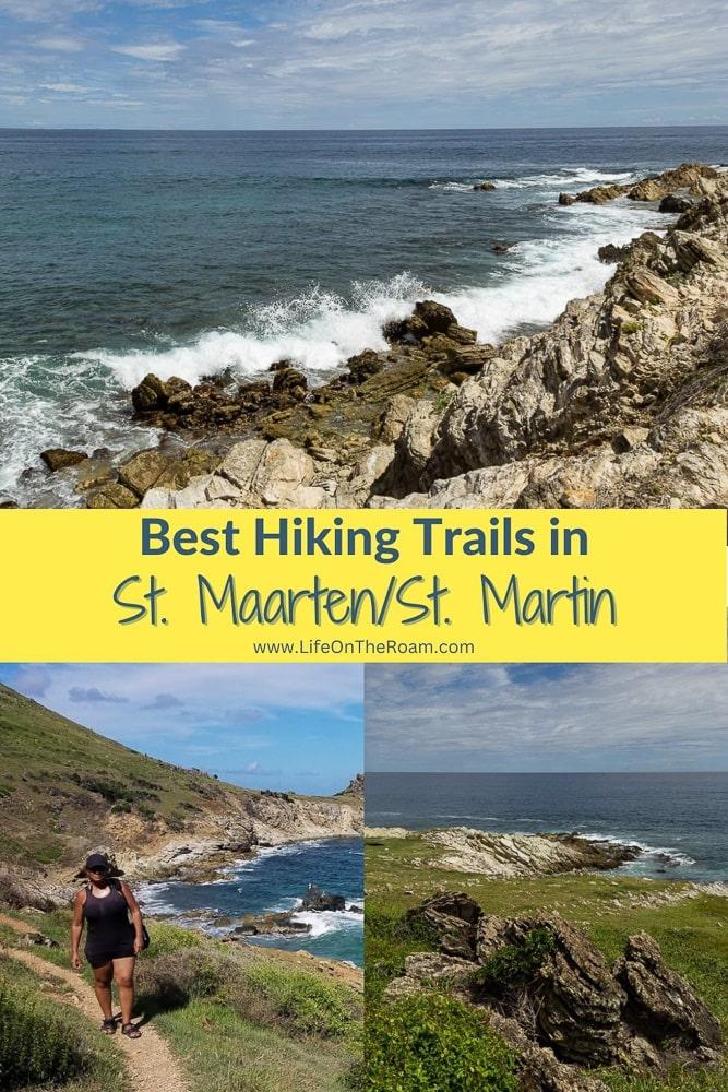
The Froussards Trail (Sentier des Froussards)
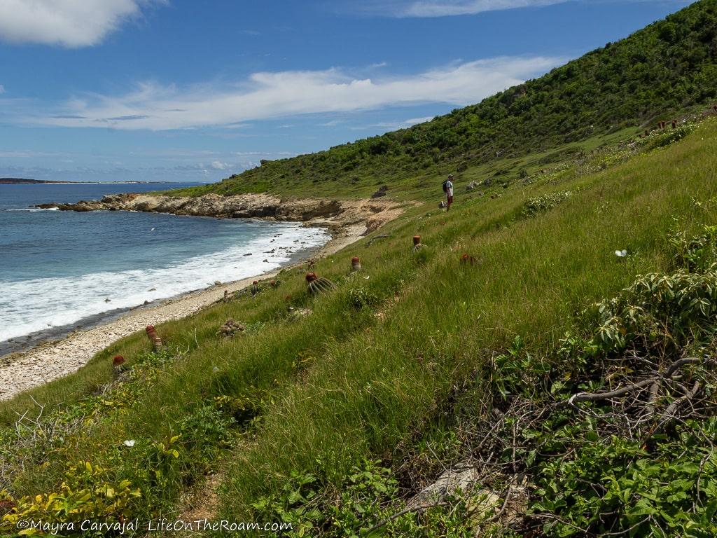
“Are we in the right place?” I wondered as we drove along the last mile of Rue de Grand Caye, on the northern part of Saint Martin, with the beach on the right and the dump on the left. It wasn’t until I saw the Saint Martin Nature Reserve sign on the parking lot at the very end (Sentier des Froussards is part of the Réserve Naturelle de Saint-Martin) that I got some reassurance.
A short walk north along the rocky beach followed by a brief scramble up the slanted rocks forming the coastline led us to the Froussards Footpath trailhead. You’ll find it on Google Maps under the Dutch name of Wandelroute French Dump naar Ance Marcel.
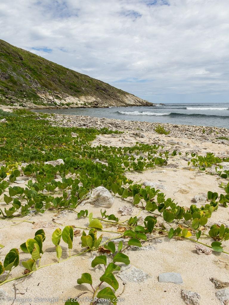
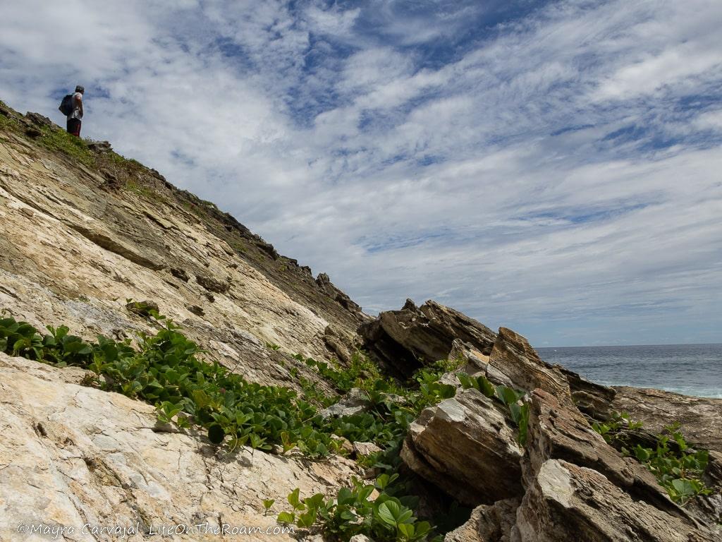
If you’re wondering, is there good hiking on St Martin?, the breathtaking views of the coastline along the Froussard Trail will convince you that the answer is a resounding Yes!
The 2.8-mile, moderate-difficulty coastal hike starts as a narrow path on the edge of the cliff where you can spot the endangered Turk’s cap cactus and catch a glimpse of Tintamarre’s Island (if you want to explore it and have a good chance to see turtles and rays you can take this cruise that stops at Tintamarre).
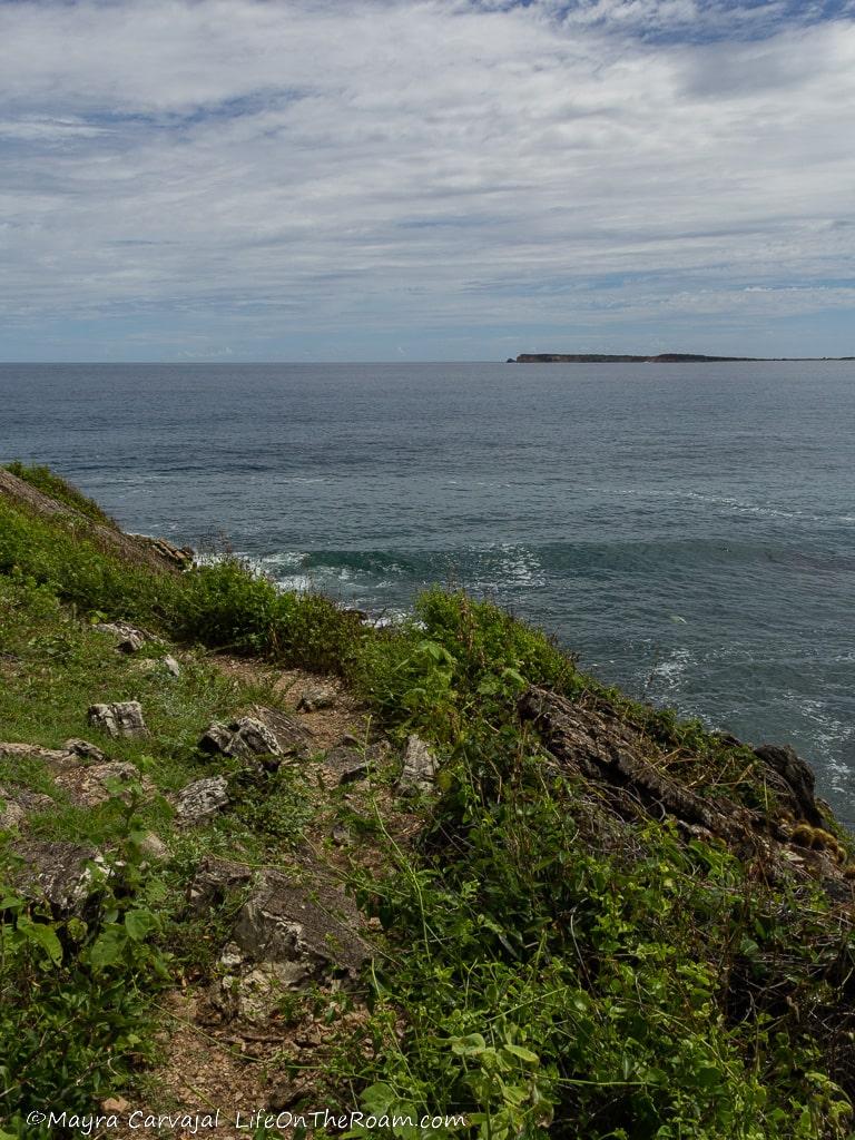
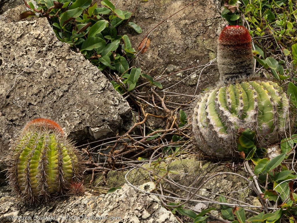
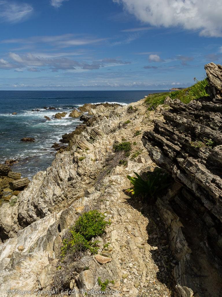
The trail widens as it opens onto a grassy field dotted with huge rocks, with crashing waves on one side and a greener section of the unspoilt dry forest on the other.
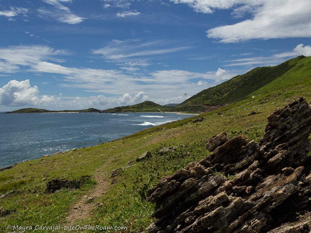
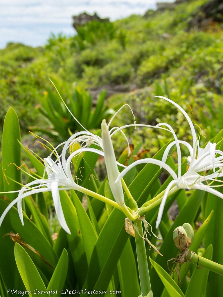
Other than cacti, the coastal forest is also home to spider lilies, wild orchids, and thousands of Great Southern White butterflies that made my day as I saw them flutter all over a sea of tiny wildflowers.
The hiking trail narrowed again and after gaining an elevation of a couple of feet we saw what looked like a worn path down the cliff. The type that has a combination of sand and tiny little rocks where every step makes you feel that you’ll slide all the way to the bottom in less than two seconds.
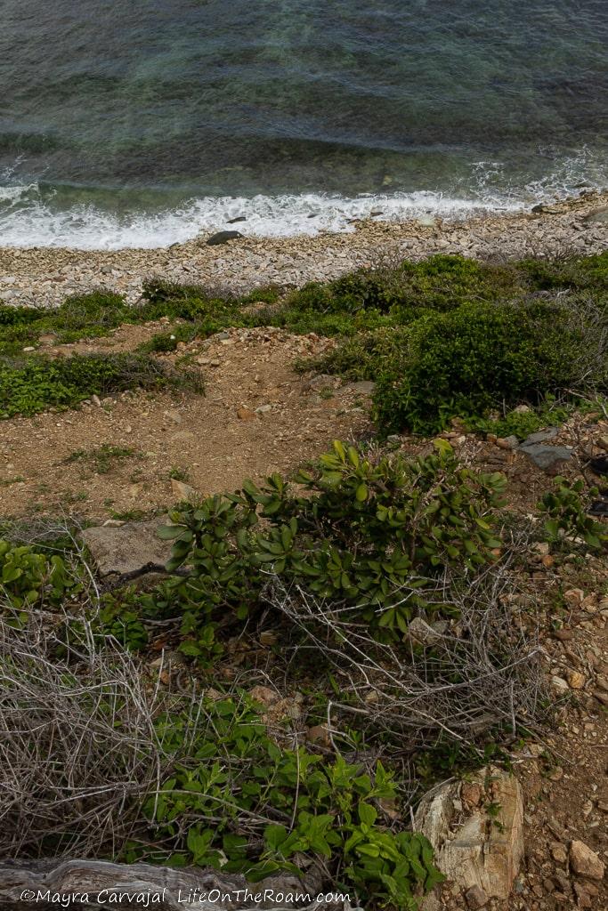
After stepping on the rocky beach at the bottom we kept walking East until we found Baie des Petites Cayes, a sandy stretch that makes one of the best beaches in Saint Martin if you’re looking for seclusion. The sea is on the rough side, but if you want to swim you may find some calmer spots towards the edges.
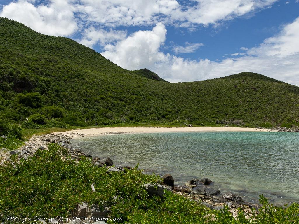
When you walk past the beach, the Froussards Trail continues up a steep hill through the forest towards Anse Marcel. The chance of taking pictures of the beach from above sounded tempting, but we underestimated how much water we would need for this hike.
It was hot, there’s no shade whatsoever, and we didn’t have enough water to go up, come back down, and then make it back to the trailhead under the midday sun. We opted to relax and spend some time at the beach.
Do you want to hike the Froussards Trail for spectacular views? Bring closed-toe sports sandals (flip-flops are not going to cut it), sunblock, snacks, a hat, sunglasses, a swimsuit and a towel if you plan to swim, and lots of water.
Of course, you can also start this trail from Anse Marcel and end up in the dump next to Grand Cayes.
To enjoy even more one of the best hiking trails in St Martin, get there early in the morning.
You’ll need a car to access most the trails. Find the best rates and availability with Rental Cars
The Fleming Property Trail
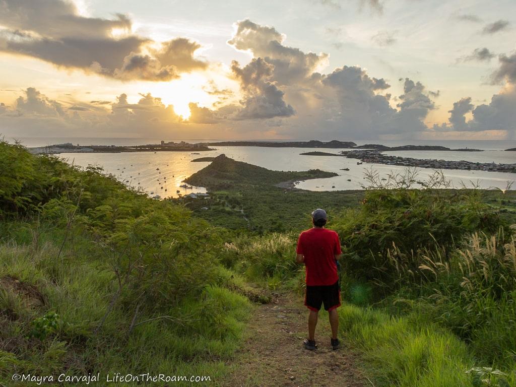
Thanks to its easy access and to the panoramic views you can enjoy along the way, the Fleming Property trail is one of the most popular hiking trails in St Maarten.
In the 17th century the Fleming property used to be a plantation established on both sides of the border between the Dutch side and the French side of the island.
The 1.2-mile (one way), moderate-difficulty trail, takes you uphill with a moderate and steady inclination until it reaches the top of Sint Peter Hill, at an elevation of 317 metres (1040 feet). The round-trip takes about two hours to complete.
As you go up the dry forest, surrounded by tamarind trees, tall grass and a cloud of butterflies, the view of the Simpson Bay Lagoon (including the Princess Juliana Airport) keeps getting better.
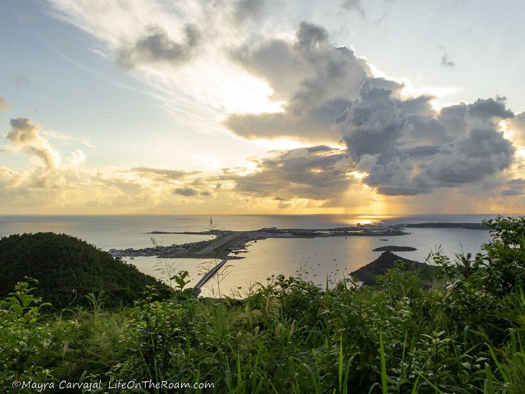
At some point you also start to see the Dutch Cul de Sac. On the upper section of the trail the vegetation is denser, with taller trees and better shade.
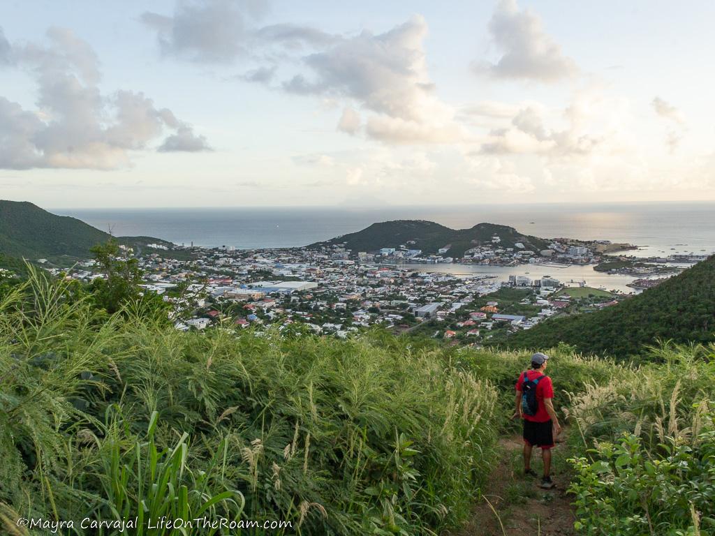
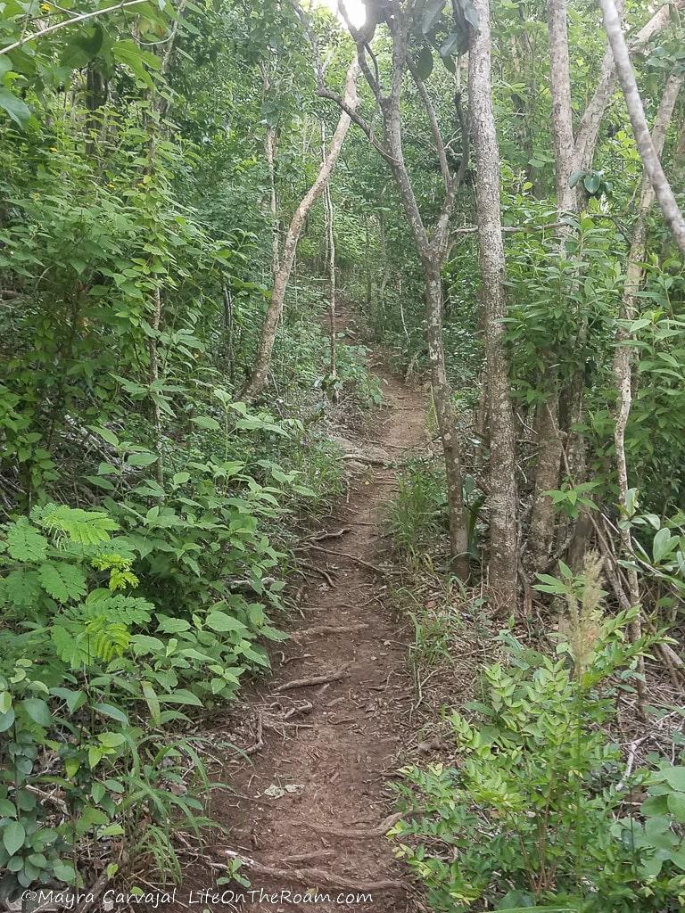
We hiked the trail late afternoon and I loved seeing the sunset, but if you’re after snapping panoramic pictures of Simpson Bay without the sun glare (I got lucky there were clouds), go in the morning so you don’t face the sun.
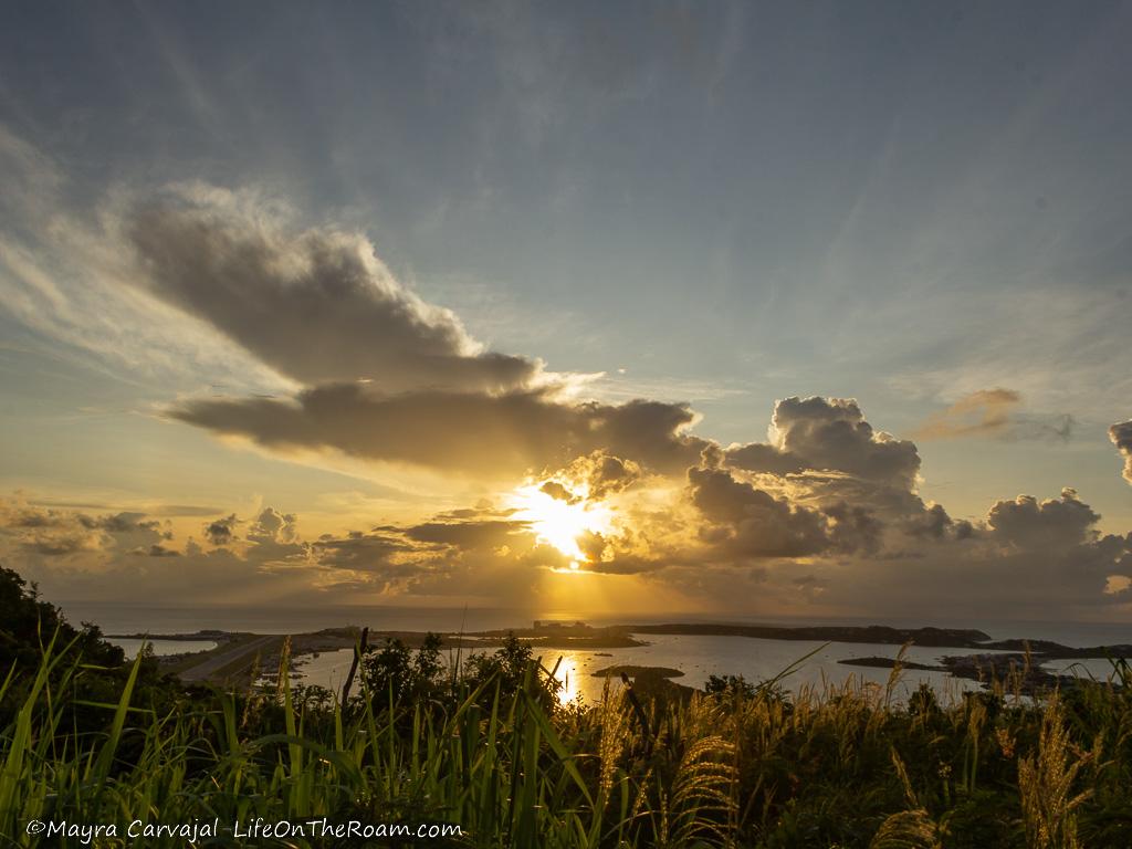
The entrance to the Fleming Property Trail is located off the roundabout connecting Union Road and Simpson Bay Causeway in Cole Bay, on the exit opposite the causeway (right across the Texaco Causeway gas station), towards the mountain.
Find a parking spot (you can also take public transportation), check the map printed on the site sign and download it on the Avenza app, and start your hike up the hill. You’ll find many people on the trail, especially if you go around 5PM, when many locals go for some exercise after work.
Get there before 5 though, as the traffic in that section is a nightmare around that time.
Pointe Blanche to Back Bay Natural Pools (Devil’s Cupper) – Up to Guana Bay
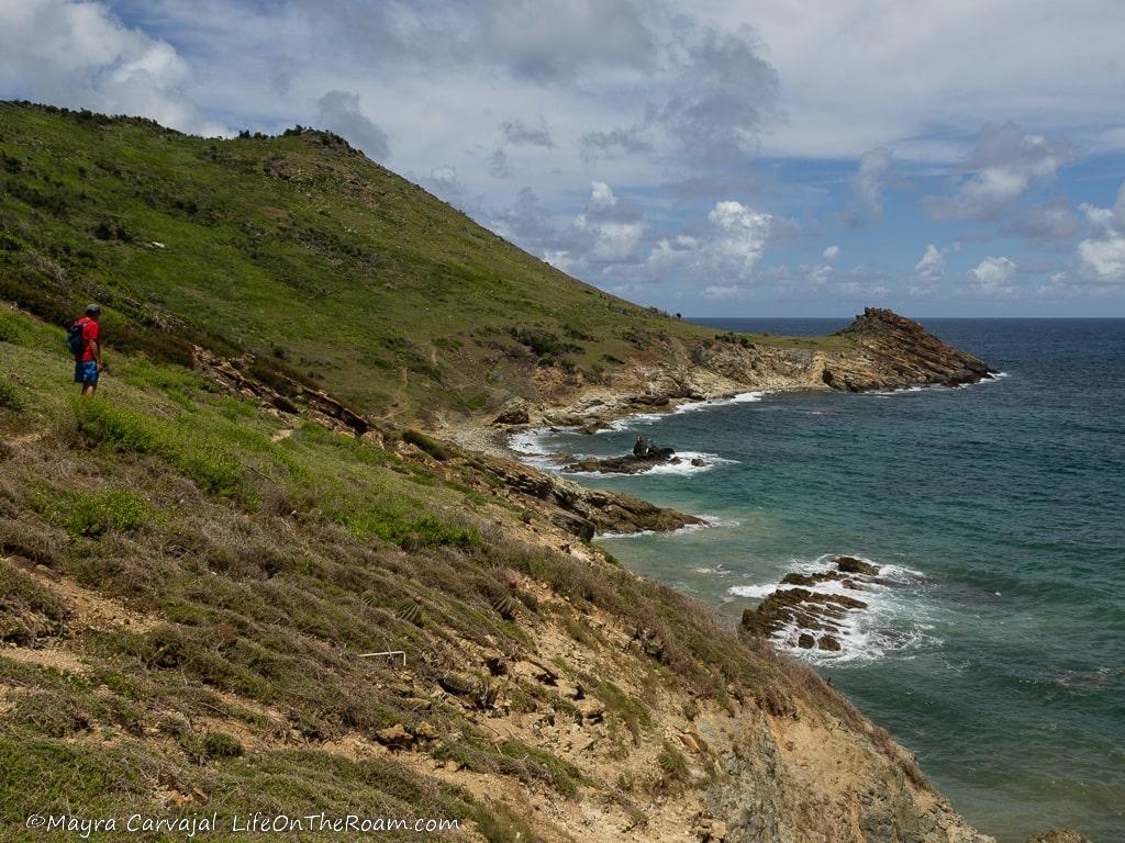
The views of the sea washing the spectacular rock formations at the bottom of the hills make the trail from Point Blanche to Guana Bay a scenic coastal hike in St Maarten.
You can either do the hiking to the natural pools at the north end of Back Bay, or you can continue all the way to Guana Bay (keep reading before doing that).
To access the trail from Pointe Blanche, located east of the cruise terminal in Philipsburg, we drove until the end of Gullin Road, a few feet further down the point where it intersects with Pelican Road (on the northeast intersection).
We parked next to what used to be a basketball court where we took a dirt path that connects to Pelican Road and from there, to the trail leading to the Back Bay pools.
You’ll hike on mainly flat terrain along the edge of the rocky coastline between grasses, cacti, iguanas, views of the blue ocean and the silhouette of St. Bart’s hills in the distance.
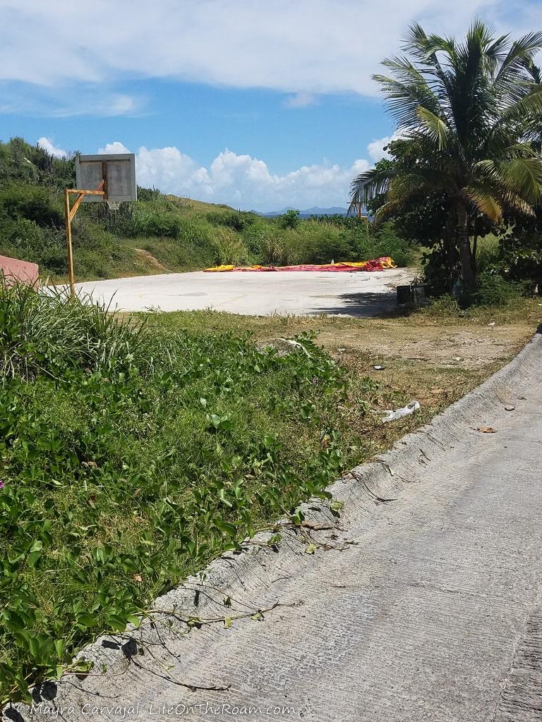
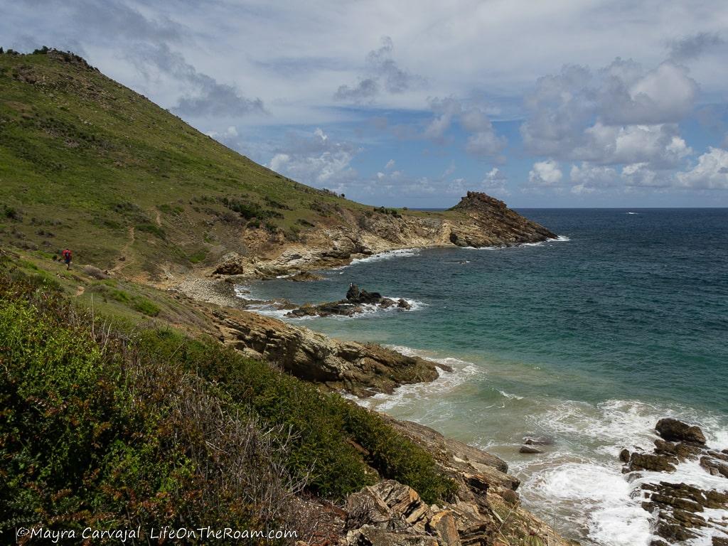
The landscape will be dryer or greener depending on the time of the year you visit.
Shortly after starting the hike you’ll see a slope that ends in a big rocky triangle sticking out of the water (the north edge of Back Bay). Right before the big rocky triangle, as you approach the large open grassy patch (it takes about 20 minutes to get here), keep your eyes peeled along the edge to see the path down to the natural pools (there’s two pools). You may see a sign…or not. A few days before our visit there was a big storm that wiped it off.
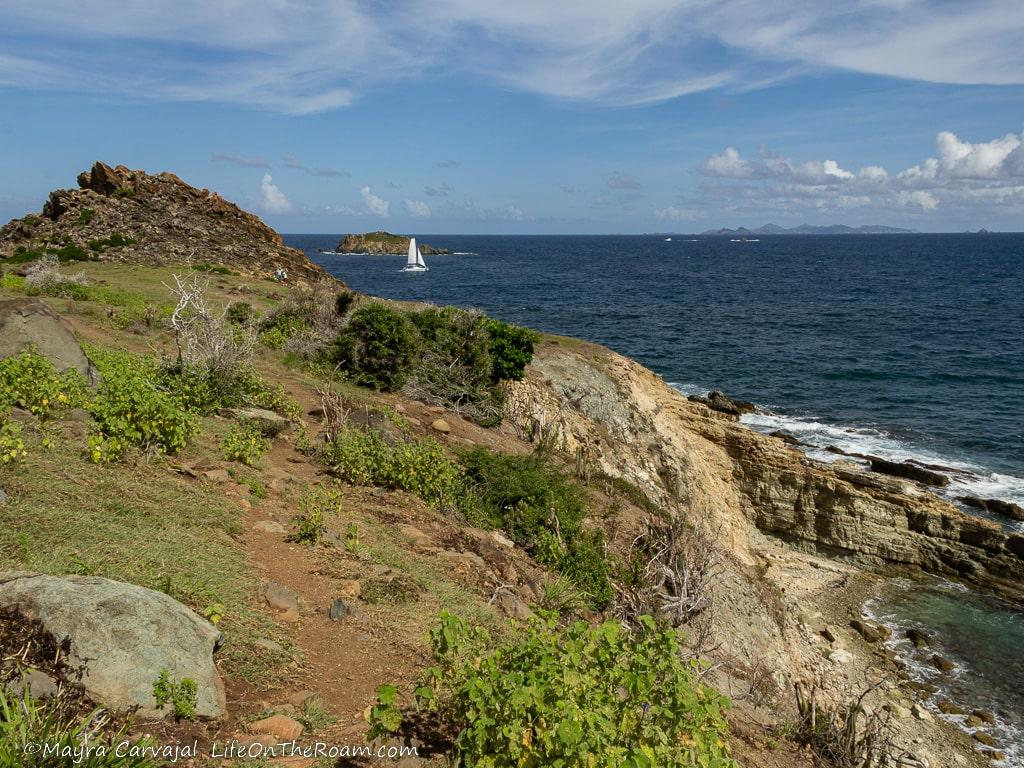
From here you can either keep walking along the shore towards Guana Bay, or you can relax on the natural pools. We continued along the trail for a little bit longer until we reached a point where it disappeared into the rocky, crumbly slope (thank you, storm).
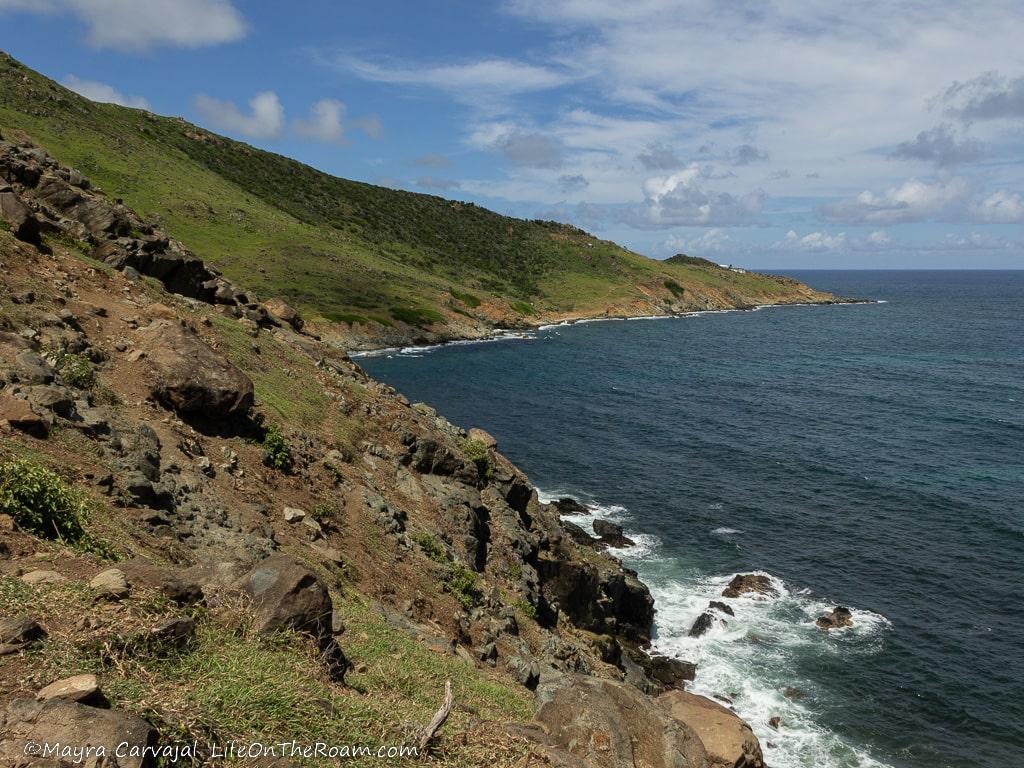
The prospect of rolling down the rocky hill wasn’t our cup of tea so we turned back and went straight to the natural pools. Be aware that you may encounter these conditions north of Back Bay; accessing the trail from Point Blanche is a safer bet.
Back in the natural pools the water was a little bit on the rough side; we sat on a big rock inside the refreshing pool enjoying the scenery until we got pruney fingers.
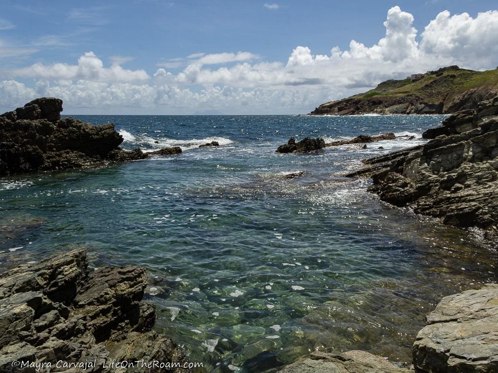
The water may be calmer when you go and you may have the chance to swim and snorkel. Whatever you do, don’t forget to bring water shoes as there are sea urchins everywhere.
There’s not a bit of shade along this trail so also bring with you water, a hat, sunblock, and a swimsuit.
Pic Paradis (Paradise Peak): the Easy Way
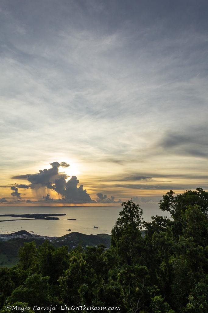
Enjoy amazing views of the island and of neighbouring St. Barts and Saba from the highest point in St Martin (and the whole island): Pic Paradis.
There are two ways of reaching the 1,391 feet-high peak.
The longer way (and more fun with tons of wildlife, I’m sure) is via a moderate to hard hike that starts at Loterie Farm, with an estimated duration of 1.5 hours (one way). You must pay a fee of 10 euros to enter the farm, where they provide a map.
The easier and faster way (the one we did) is to drive up Rue du Pic Paradis (between Marigot and Grand Case, on the French side), past the farm. When you encounter a fork on the road go left and drive up to the point where you find a sign saying that driving beyond isn’t recommended.
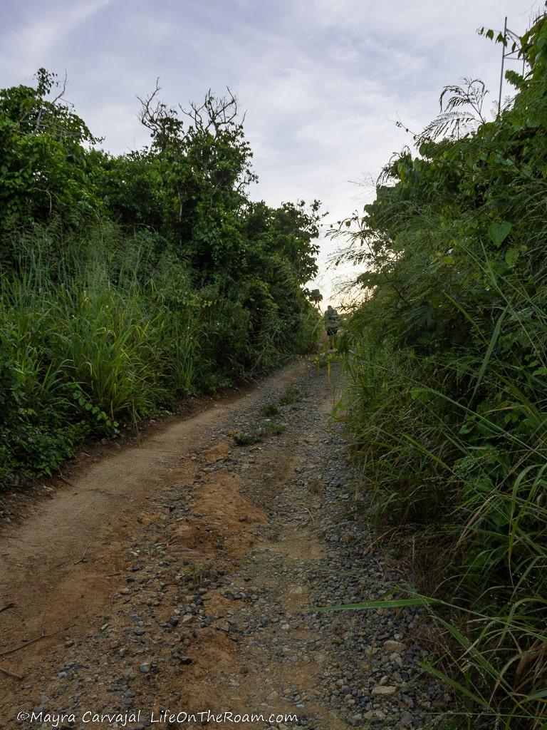
Park your vehicle wherever you can (spots are a premium in this narrow road) and hike for 20 minutes up the dirt road towards the two viewpoints (follow the signs).
The one located next to the big antennas faces west and offers great views of Marigot and of course, the sunset.
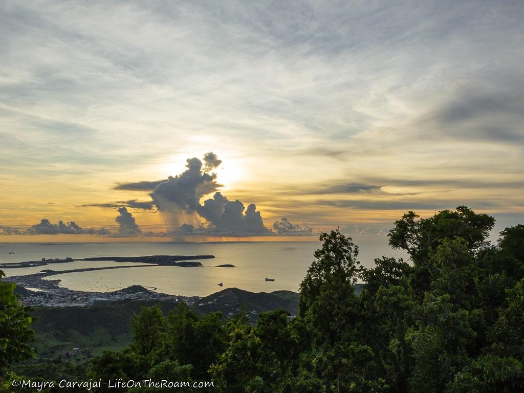
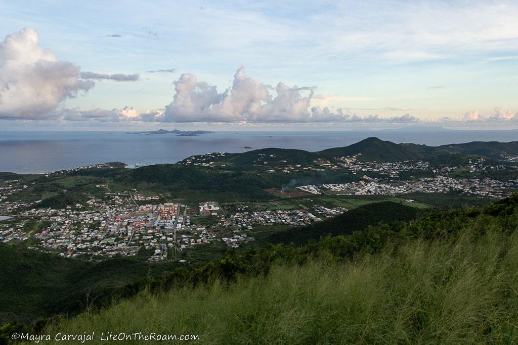
The other one, featuring a viewing platform with a sign, faces east and you can see Tintamarre, Orient Bay and St. Barts.
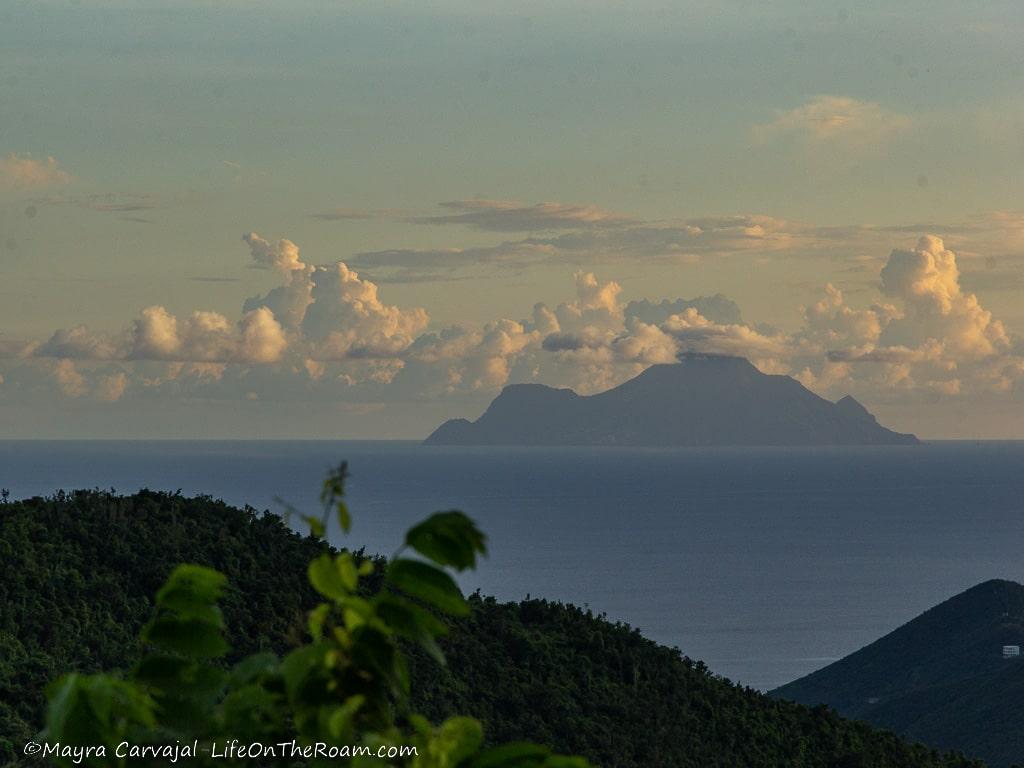
Between the two you can also see the island of Saba, which is a great hiking destination (you can catch this ferry ride for a day trip to Saba).
Note: the road to Pic Paradis is steep. If you’re with a group packed in a tiny car you may have a hard time reaching the top.
Are you ready to experience Sint Maarten /Saint Martin beyond its fabulous beaches and explore its hiking trails? Whether you prefer coastal hikes along the water or scenic views from the hills, there is something for you in this slice of paradise.
YOU MAY ALSO WANT TO READ
BOOKING FLIGHTS AND ACCOMMODATIONS
Book your flight without losing your shirt
We check Momondo to find great deals to book our flights. Also, check Great Escape: it combines the listings from Expedia, Kiwi, Kayak, (and Skyscanner on the premium service) to find the best airfares.
To find a place to stay for less
Booking.com: this site combines everything under the sun. You’ll find hotels, apartments, B&B, hostels, rooms, etc., with all sort of filters to make your search a breeze.
Hotwire: the first site I check when we plan to stay at a hotel for a few nights. You can save anything from 20% to 60%. Use the search filter to find what you want and you’ll end up with three listings that match your criteria. You’ll know which one you’ll get after you book. If you can handle a little bit of uncertainty you can score big savings.
House Sitting: you take care of people’s pets and house for free while staying for free. It’s the closest thing to experiencing a place “like a local”. But it comes with responsibilities… Are you an animal lover? It may become your new way to travel.
To get travel insurance
SafetyWing: travel medical insurance that gives us peace of mind knowing that we’re covered in case of emergency. It’s convenient, affordable, and suitable for digital nomads who spend a long time outside their home country.
Check the full list of travel resources on my Resource Page for more options and savings
Gorgeous, gorgeous photos!! I havent considered traveling to Sint Maarten /Saint Martin but these photos are changing my mind! Thanks for sharing these hiking tips!
Thanks! Another item for that bucket list.
Wonderful views, I love the island hikes and seeing all the beaches along..
I also love the different viewpoint the hikes provide.
We went on so many hikes in Hawaii that we have been looking for a new place to try more out! Awesome read
Oooh, I can’t wait to go hiking in Hawaii!
Great overview of hiking options, Mayra. It’s particularly useful that you are clear about the distances and conditions. Is there a trail that you would recommend for birdwatching? And can we pick up printed trail maps anywhere, or is it better just to take a photo of maps at the trailhead? We are visiting the island for the first time in mid-March. We are staying at Orient Bay and we will have a rental car. While we will certainly be “beaching” we are also looking forward to hiking. We’ve hiked in lots of places – South Africa, the Andes, Pico Bonito in Honduras, the Anza-Borrego desert, Newfoundland, and British Columbia just to name a few places. It will be fun to add St. Martin to our list. So thanks again for this useful guide!
The best trail for birdwatching would be from Loterie Farm -on the French side- to Pic Paradis (Paradise Peak -the highest point on island at 1400 feet-), it takes between 2 to 3 hours. There is a 10 euros fee to enter their property and they give you a printed trail map. If you want a birds eye view of the route you can check out their website. They also have other side trails you can do.
If you would like to see a large colony of brown pelicans (the national bird of St. Maarten) you can go to Fort Amsterdam. I mention it on another blog post about the island.
There’s barely anything left of the fort, but you can enjoy a fantastic view of Great Bay and Little Bay. Fort Amsterdam is within the property of the Divi Little Bay Resort (they have a good beach, BTW). You can ask the guard to let you in to visit the fort and once there you can take the path to the edge, heading west, and you’ll see the birds nesting on the cliff.
There are no printed trail maps at the trailheads (except for Loterie Farm) and I didn’t find any at the tourism offices.
I used Maps.me and it worked well.
Thanks for reading my post and enjoy your trip to St. Martin!