If one day I woke up inside the Groundhog Day movie and I had to choose one place to hike and wander around in a never ending loop I would choose the hiking trails of Durmitor National Park.
The park is located in northwest Montenegro and is part of the Dinaric Alps. 25 hiking trails let you explore this limestone massif where you can see canyons, lakes, and mountains that look like gray and green ribbon candy.
Disclosure: This post contains some affiliate links. If you make a purchase through those links I will earn a commission at no additional cost to you (zero, nada). To check the full disclaimer, click here.
Here are five day hikes at Durmitor, with varying levels of difficulty and scenery, including a map showing the location of the trailheads and summits.
Table of Contents
Hiking to Čurevac Viewpoint
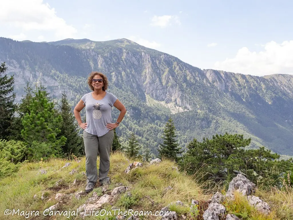
The main attraction of the Čurevac viewpoint hike is the panoramic view of the Tara river canyon.
From a height of 1,625 metres (5,331 ft.) you’ll see a big section of the 78-kilometre-long canyon (48.5 miles).
We drove north from Žabljak towards Nadgora, arriving at the trailhead located in the parking lot in about 20 minutes. The hike is quite straightforward as you ascend along the edge of the cliff the entire time. Even though it’s a constant ascent, the slope is not that steep and the views will keep you distracted.
As you can see below, the terrain is rocky and uneven so it’s better to wear proper shoes, especially during and after rain as it will be slippery.
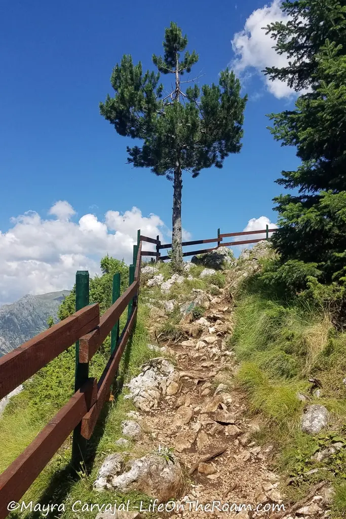
As soon as you reach the flat section at the top you’ll have an uninterrupted view of the Tara canyon, which reaches a maximum depth of 1,333 metres (4,373 ft.), making it the deepest in Europe.
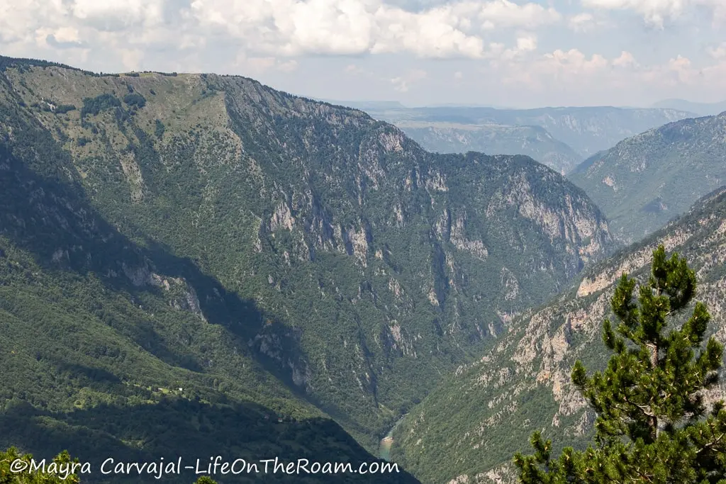
Other than looking at it from a distance, you can navigate the crystal clear waters of the Tara River, which is one of the best things to do in Durmitor National Park.
If you’re not renting a car to explore Durmitor (highly recommended) or if you want to walk an extra 4 kilometres (one way) you can start this hike from Žabljak and follow the route to Nadgora using your preferred app (we like to download the maps on Maps.me).
Distance: 1 kilometre (0.6 miles), one way, from trailhead at parking lot.
Estimated time: 30 minutes
Level of difficulty: Easy
Savin Kuk Hike (from the Ski Lift)
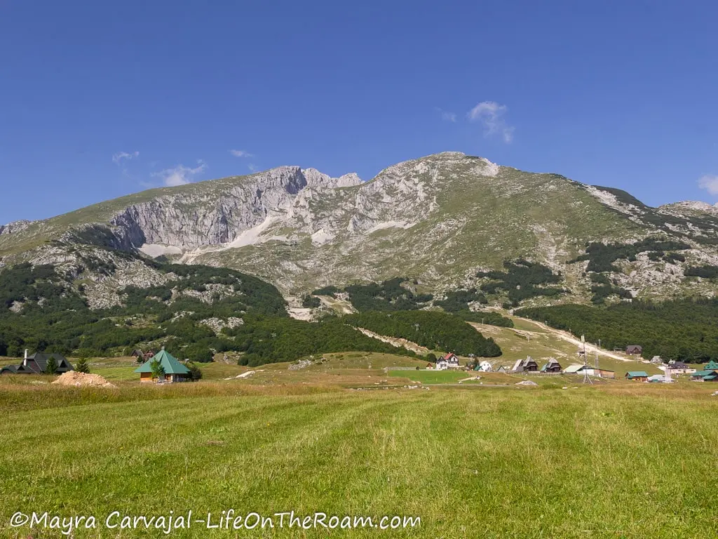
There are easy ways to reach the summit of Savin Kuk and a hard way.
We chose the easiest and fastest, which is driving to the Savin Kuk Ski Resort, taking two ski lifts (which are operational during the summer and cost €10 p/p) and then hiking the remaining 100 metres (328 ft.) towards the peak. From there you can enjoy the view from 2,313 metres (7,588 ft.) above sea level.
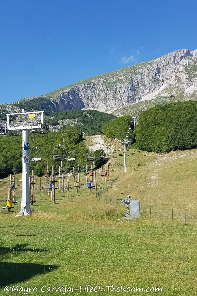
After the scenic ride you’ll encounter a photo op with a big frame, similar to the ones you see along the Durmitor Ring, before running into a saddle with some amazing mountain vistas.
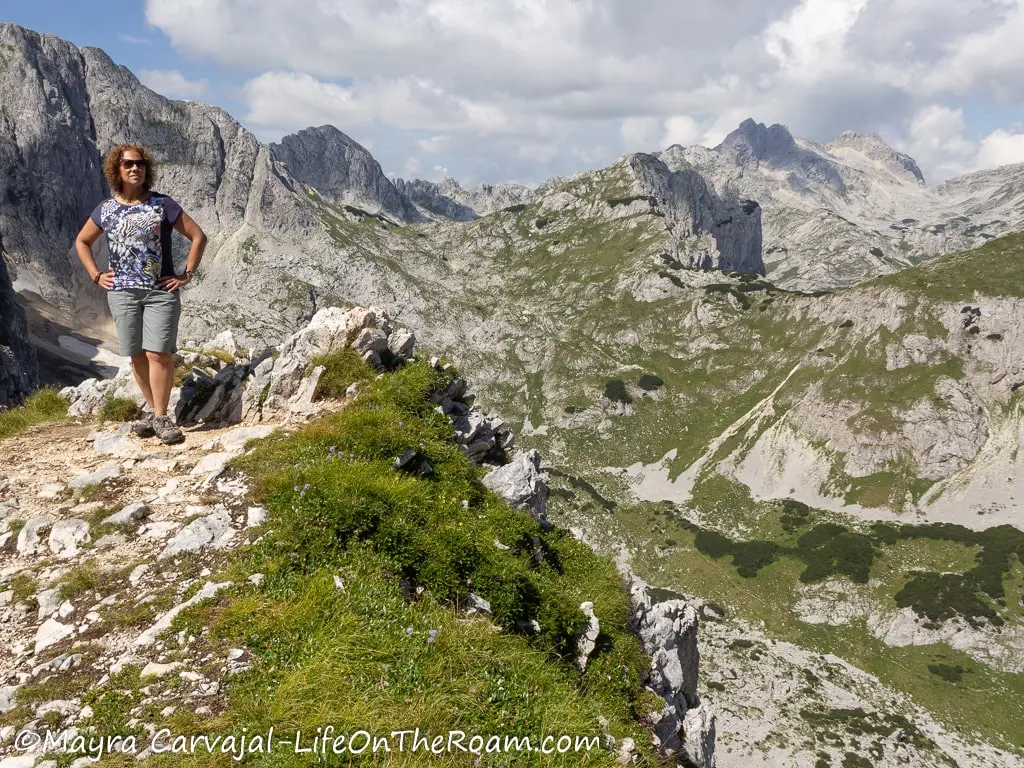
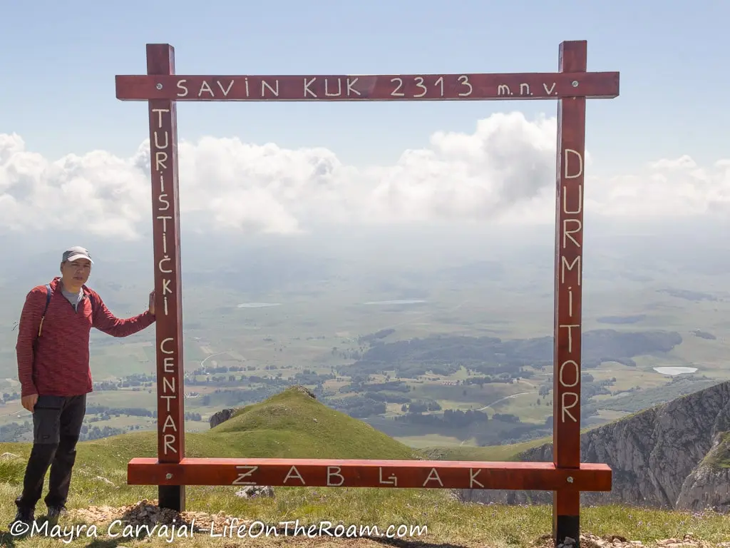
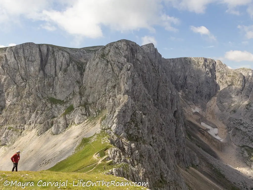
You’ll then take the zigzag path to the summit for a great view of the Black Lake near Žabljak.
If you’re staying in Žabljak and you’re not driving, you can do an easy hike from the Black Lake to the ski centre and then take the ski lift (or complete the moderate-difficult route to the top on foot).
Distance: 100 metres (328 ft.) if you take the ski lift
Estimated time: 30-45 minutes one way (+25 minutes on the ski lift each way)
Level of Difficulty: Easy to moderate
Bobotov Kuk Trail
When we asked at the visitor centre in Žabljak about popular hikes in Durmitor National Park, they mentioned Bobotov Kuk, the tallest of the 49 peaks gracing the park.
The peak is 2,525 metres (8,284 feet) high, but the trailhead at Sedlo Pass starts at 1,908 metres (6,259 feet) above sea level so the elevation gain is just short of 700 metres (2,296 feet).
You’ll have a higher elevation (and a longer and more difficult hike) if you choose to start from Žabljak (at the Black Lake), so we opted for the easiest, which is starting and ending at the Sedlo Pass.
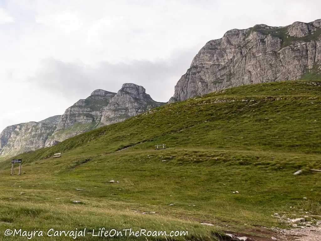
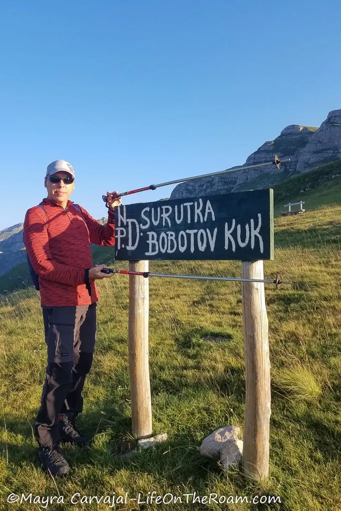
You can also start in Sedlo and finish in Žabljak, if you’re ready to tackle a longer route.
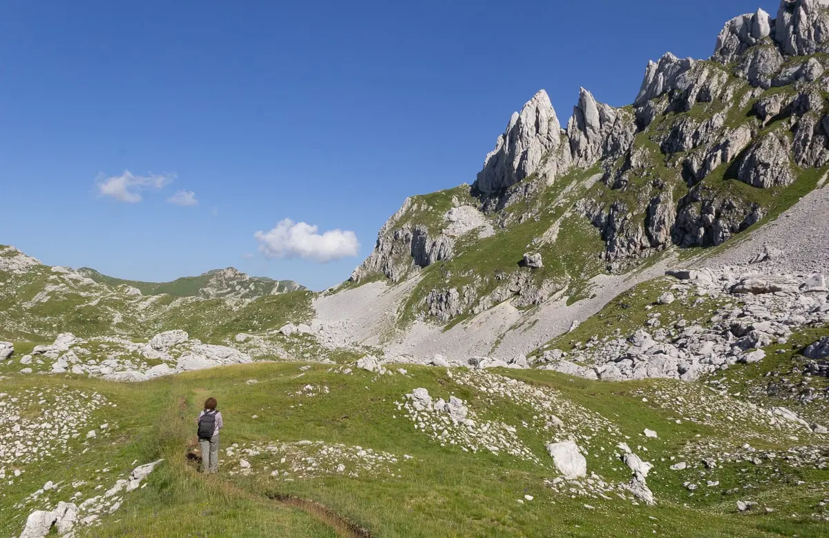
You’ll start going uphill for a few minutes on a gentle slope until you see massive rock formations typical of the karst landscape of the region, and tons of scree.
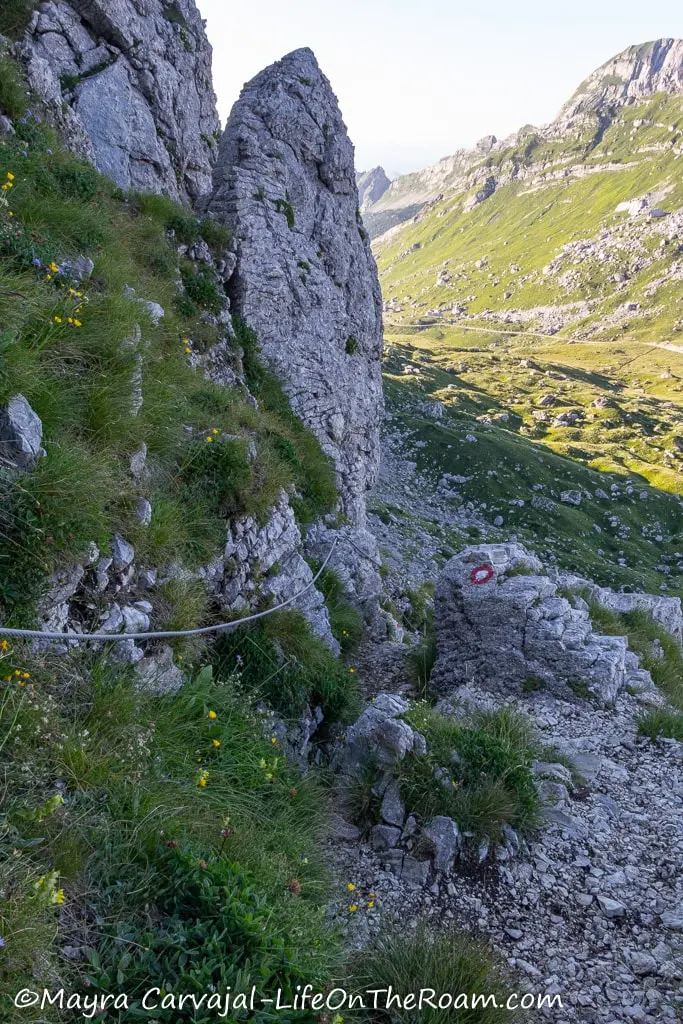
Fortunately, you don’t have to walk over that (there are few things I dislike more than hiking on scree) as the narrow trail cuts into the grass, right above it. Watch out for falling rocks (I barely avoided a big one).
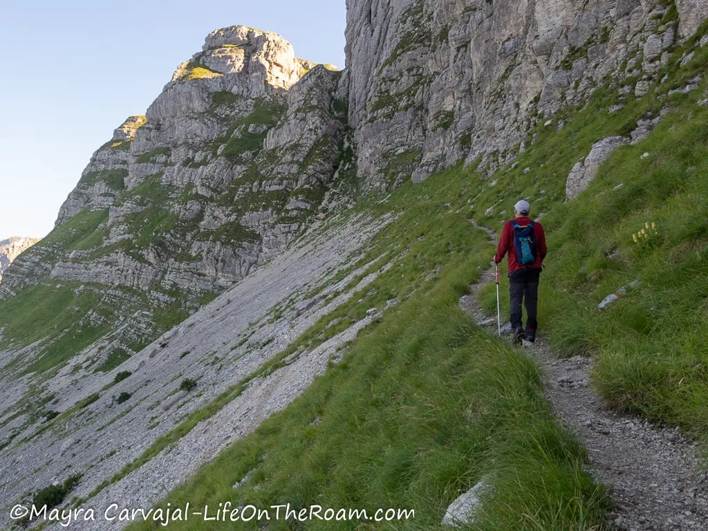
From here, this will be your view:
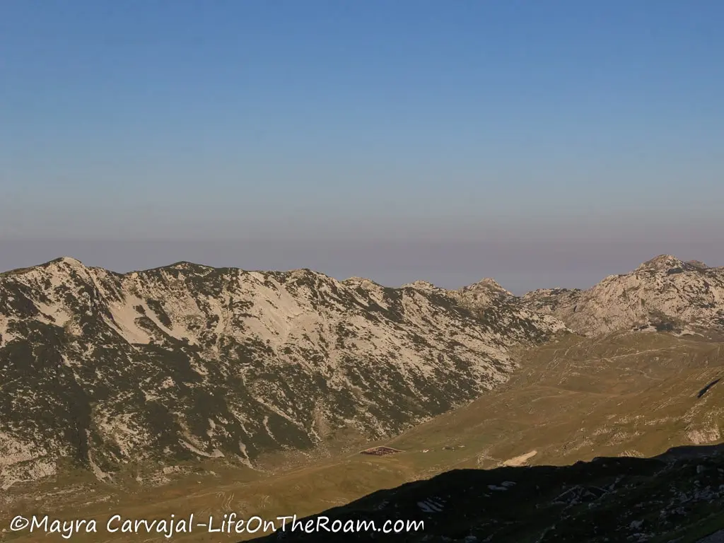
Close to the edge, you’ll climb a short section with the help of ropes before reaching a beautiful valley.
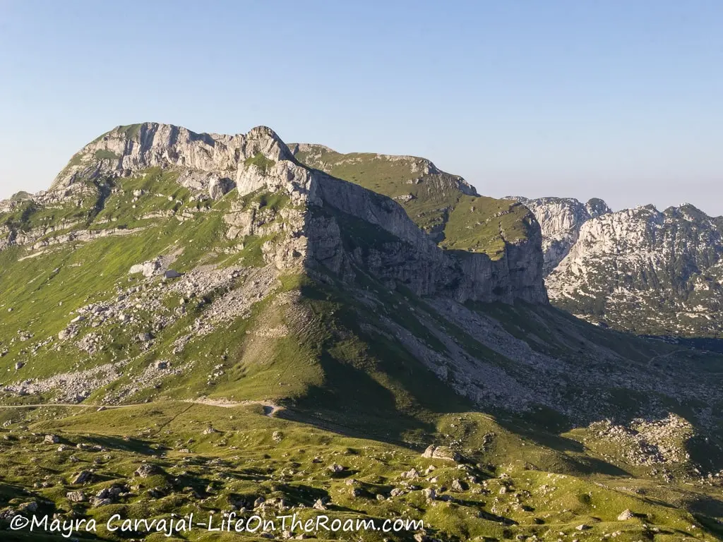
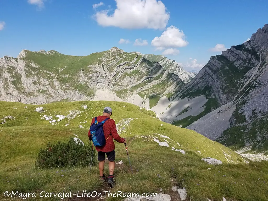
The trail continues up and down with minor changes in elevation, on a dirt path dotted with medium-sized rocks, surrounded by an unforgettable imagery.
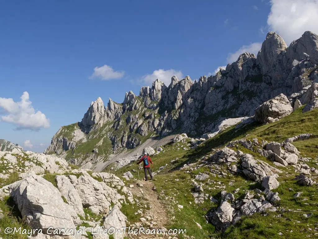
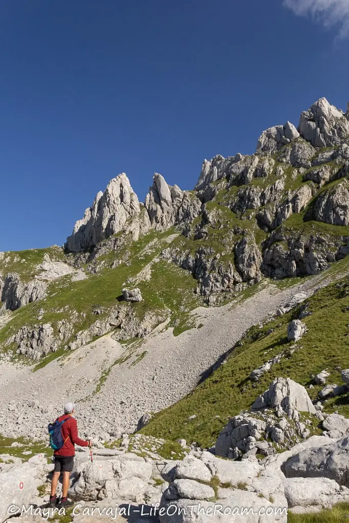
Sights like Šareni Pasovi resemble a huge piece of marble.
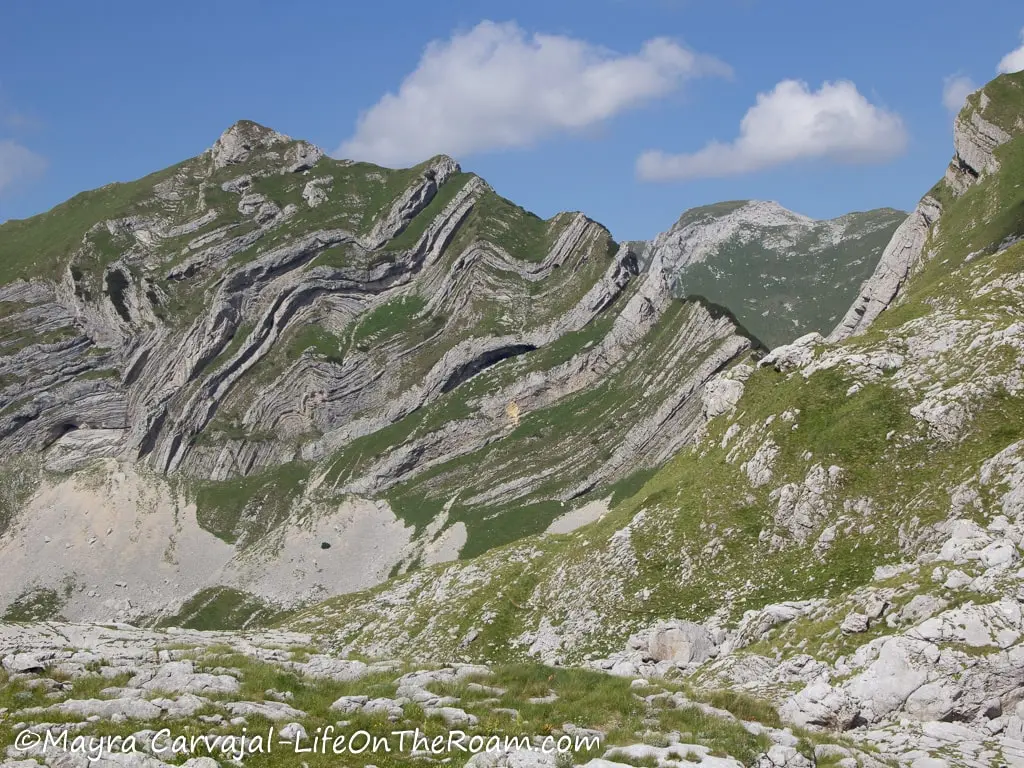
Right after, when you encounter this massive rock formation you can see in the distance Bobotov peak up there, on the left.
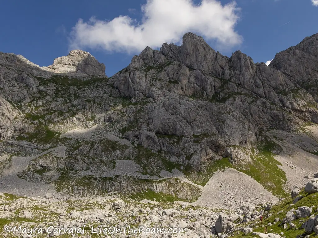
Nearby, there’s a small pond to the right where we stopped for a break before heading back to the trail, at the point where you start the steep ascent.
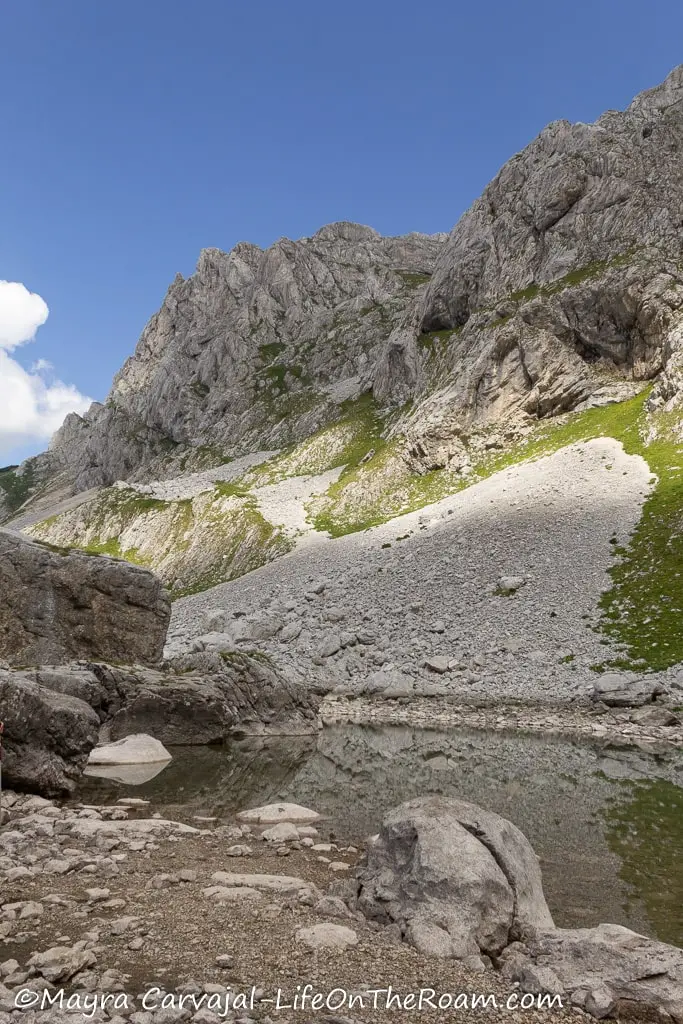
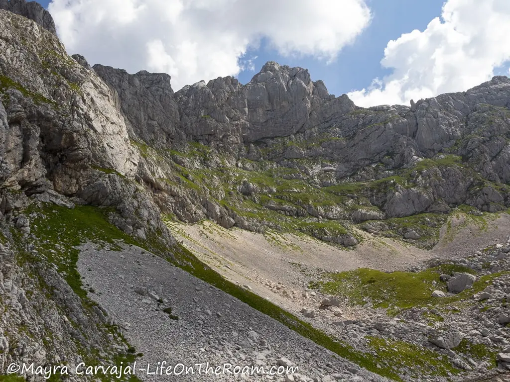
And it was at this point when the weather changed faster than a wheel change in a F1 race.
The white clouds you see in the last pictures turned dark in a matter of minutes. Wind and rain started, followed by hail.
Taking into consideration the weather, that we were still two hours away from the peak , and that the most challenging part of the route (that includes ropes along a sheer drop) was still ahead, we decided to go back.
Was it worth going on the trail, even though we didn’t reach the summit? Yes, I think the pictures speak for themselves.
Do I plan to go back and try to reach the summit? Absolutely!
Go as far as you feel comfortable and enjoy the scenery. If you want to go all the way to the top, start early and come prepared for sudden weather changes.
Distance: 9.8 kilometres (6 miles) if you do the return trip from Sedlo Pass
Estimated time: 5-6 hours (round trip)
Level of Difficulty: Hard
You packed your hiking shoes, your water bottle and your energy bars. What about travel insurance? Get a quote below, because you never know.
Valovito Jezero Loop
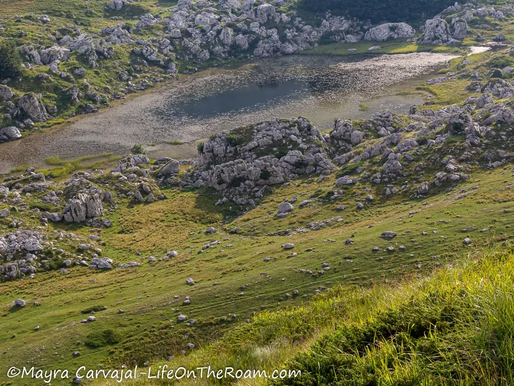
If you’re looking for a Durmitor easy hike that is also family-friendly, the Suva Lokva – Valovito Jezero loop will suit you well. The trailhead is along the Durmitor Ring route, at the viewpoint located in the Pošćenska Dolina valley.
The hike, with an elevation gain of 157 metres (515 feet) takes you through a valley at the feet of the Ranisava peak, dotted with three small lakes and a puddle.
Yes, you read that right, a puddle (lokva means puddle). It’s so much of a puddle that it was gone during our visit. In the picture, it should be on the left side of the trail.
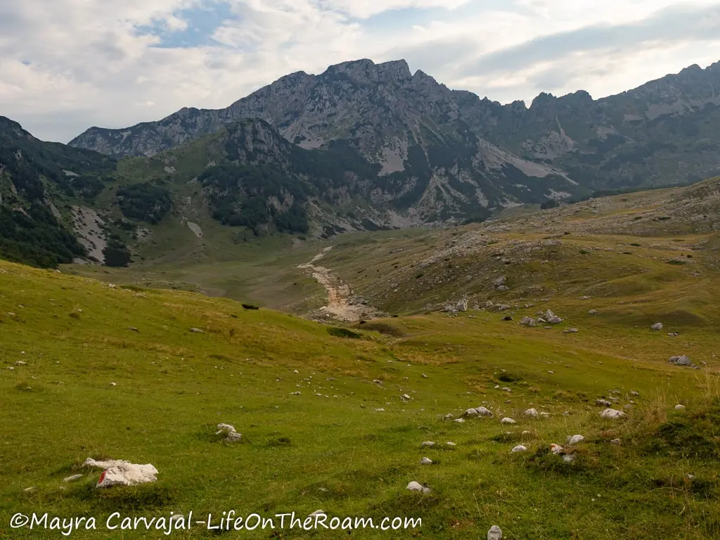
You’ll then walk along a gentle slope and pass three small lakes: Modro, Srablje, and Valovito jezero (jezero means lake).
If you go during spring you’ll probably see the lakes fuller than how we saw them.
Distance: 6.2 kilometres (3.8 miles) round trip
Estimated time: 3 hours
Level of Difficulty: Easy
Black Lake Loop
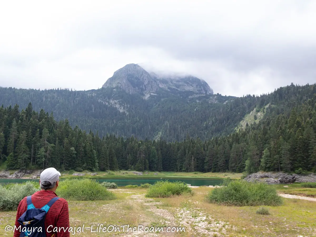
The Black Lake loop (also known as Educational Trail) is one of the busiest hiking trails in the Durmitor National Park thanks to its easy access from the town of Žabljak. It’s also easy to complete, with beautiful vistas of the lake, the pine forest, and the mountains.
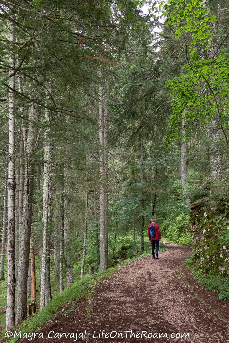
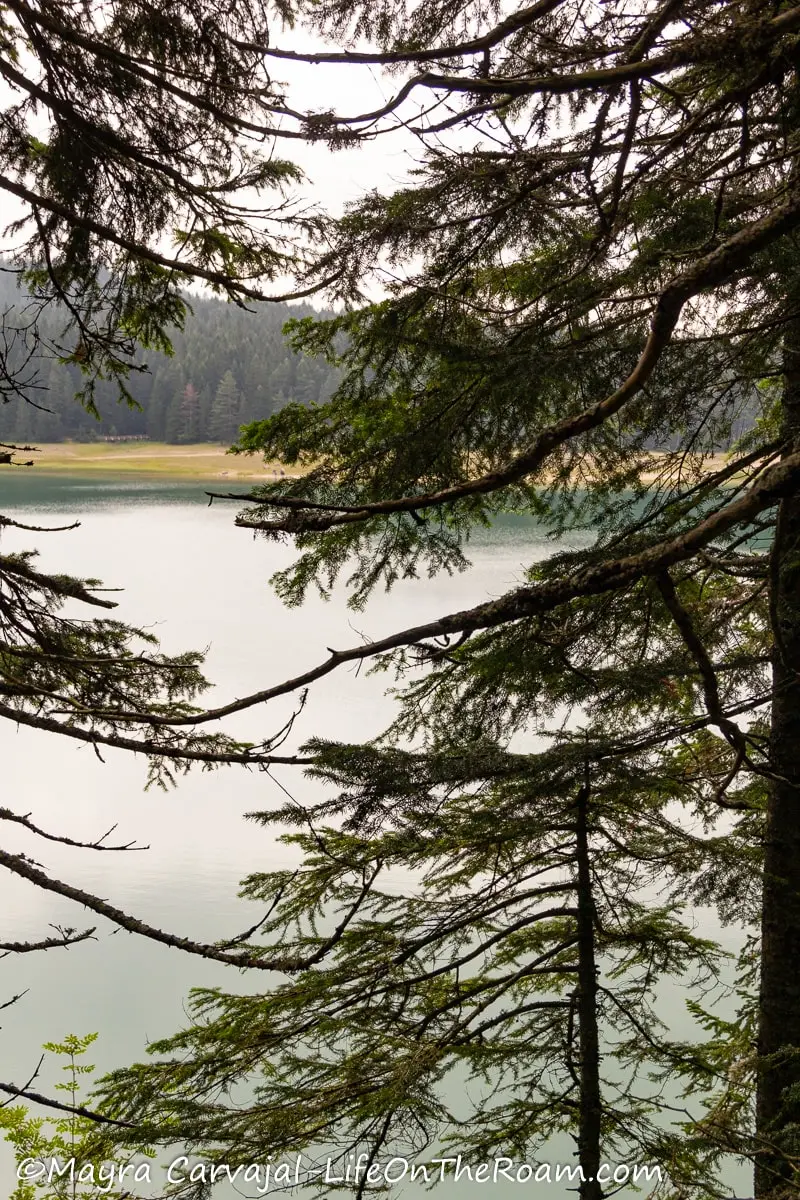
The trail is mostly flat, with some change in elevation in some areas. You’ll find rocky paths and sections that can be muddy and slippery, bring proper shoes.
Other than hiking, there are other outdoor activities you can enjoy at Black Lake so allow some extra time at this site. To learn more, check out my post about things to do in Black Lake.
Distance: 4.6 kilometres (2.9 miles)
Estimated time: 1.25 to 2 hours
Level of Difficulty: Easy (with some moderate sections)
The Black Lake is also the departure point for several hikes:
Easy, family-friendly hikes from Black Lake
To the Savin Kuk ski centre: this 4-kilometre trail takes about one hour (one way). This is to the Savin Kuk ski centre, not to the Savin Kuk summit. For the latter, you’ll have to take the ski lift to keep it family-friendly (I talked about that previously in the post), or go on the trail to the top, which is a hard hike.
During winter this trail is good for cross-country skiing and snowshoeing.
To Pošćensko Jezero: this 8.5-kilometre trail takes 3.5 hours.
Strenuous hikes from Black Lake
To Bobotov Kuk: this is a harder and longer way to reach Bobotov Kuk than starting at the Sedlo Pass (which is hard enough). After reaching the peak you can finish the hike at the Sedlo Pass rather than retracing your steps to the lake. The latter would be a 14-kilometre hike.
To Veliki Medjed (via Struga): Medjed is one of the beautiful peaks you can see from the lake. This 6.6-Kilometre trail takes four hours (one way) and it falls more into mountaineering, involving alpine climbing on rocks and dangerous exposed ridges. I didn’t do this or would even attempt it, but if you’re a super strong and experienced hiker with the right equipment, it may be of interest to you. Find more information at the visitor centre to make sure you can tackle this safely.
Durmitor Hiking Map
On this map you’ll find the trailheads of the hikes I mention in the post:
Tips for Hiking in Durmitor National Park
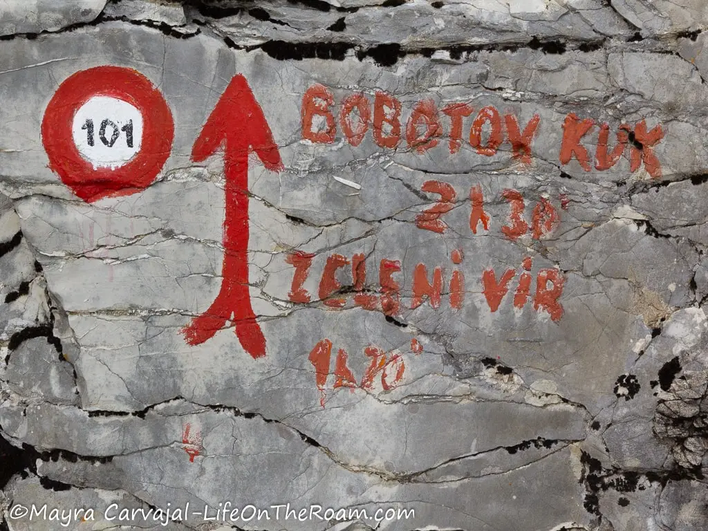
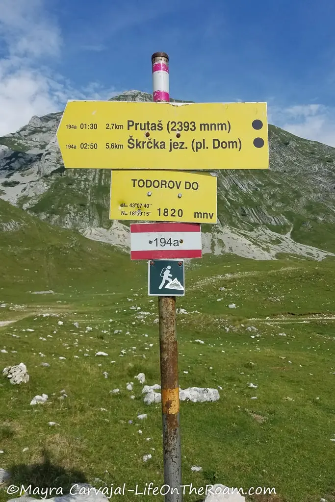
-Trails markers in Durmitor are red circles with a white centre, painted in stones. You’ll also find red lines along the route.
-You’ll find posts with the trail number written on a white line between two red lines, and yellow signs with the trail name, the estimated time, distance, and a coloured dot on at the right end indicating the level of difficulty:
Blue: easy
Red: medium
Black: hard
-Even though trails are well marked in general, bring with you either a printed map or download one on your phone so you can access it even if you don’t have signal. We like Maps.me.
-Weather in Durmitor changes rapidly. It may be sunny when you start and suddenly hail is falling down, as it happened to me in Bobotov Kuk. Bring layers and a light rain jacket.
-The entrance fee to Durmitor is €5 per day, with the option of purchasing multi-day passes. You can get it at the Black Lake entrance booth (there are also park officials at the trailhead parking lots).
-Hiking sticks and hiking shoes (even better, boots) will make a difference in moderate and hard hikes as the terrain is rocky.
-Trails that involve going up a mountain to reach a summit are only available between early May and late October, depending on weather.
-Bring enough energy bars and snacks and stay hidrated.
-There are bears and wolves in Durmitor National Park, but sightings are rare.
Accommodations in Durmitor National Park
If you stay at hostels, Hiker’s Den is a fantastic option since they cater specifically to hikers and they have a 9.9 rating (based on more than 780 reviews). They provide tons of tips and info about the trails and hold hiking briefs every morning to help you decide where to go or to find a hiking buddy.
They have dorms and private rooms with shared bathrooms.
If you prefer a hotel or to have a unit for yourself, you’ll find most places in Žabljak, the main town in Durmitor.
Check out your options on the map below:
Step on the hiking trails of Durmitor National Park for a chance to explore the gorgeous and unique landscape of northern Montenegro. Go prepared and enjoy the view of beautiful peaks and valleys.
YOU MAY ALSO WANT TO READ
BOOKING FLIGHTS AND ACCOMMODATIONS
Book your flight without losing your shirt
We check Momondo to find great deals to book our flights. Also, check Great Escape: it combines the listings from Expedia, Kiwi, Kayak, (and Skyscanner on the premium service) to find the best airfares.
To find a place to stay for less
Booking.com: this site combines everything under the sun. You’ll find hotels, apartments, B&B, hostels, rooms, etc., with all sort of filters to make your search a breeze.
Hotwire: the first site I check when we plan to stay at a hotel for a few nights. You can save anything from 20% to 60%. Use the search filter to find what you want and you’ll end up with three listings that match your criteria. You’ll know which one you’ll get after you book. If you can handle a little bit of uncertainty you can score big savings.
House Sitting: you take care of people’s pets and house for free while staying for free. It’s the closest thing to experiencing a place “like a local”. But it comes with responsibilities… Are you an animal lover? It may become your new way to travel.
To get travel insurance
SafetyWing: travel medical insurance that gives us peace of mind knowing that we’re covered in case of emergency. It’s convenient, affordable, and suitable for digital nomads who spend a long time outside their home country.
Check the full list of travel resources on my Resource Page for more options and savings
Amazing!
Yes! Montenegro is beautiful