The most famous Mayan sites are in the Yucatan Peninsula, but the Mayan world spread beyond Mexico throughout a region that we know today as Guatemala, western Honduras, western El Salvador, and Belize.
Yes, there are Mayan ruins in Belize. Are they worth visiting?
Absolutely!
Not only the Mayan civilization was highly advanced and created some impressive structures around here, but the surroundings are stunning. One thing I love about the Mayan ruins in Belize is that on most sites you’ll find many trees in the plazas (squares) and you’re right next to the jungle -most of the country is jungle-. You feel you’re out on a shaded hike where you see tons of wildlife.
When you climb the temples and palaces you can delight in views of rivers and giant trees as far as your eyes can see.
Disclosure: This post contains some affiliate links. If you make a purchase through those links I will earn a commission at no additional cost to you (zero, nada). To check the full disclaimer, click here.
This is where to find the best Mayan ruins in Belize.
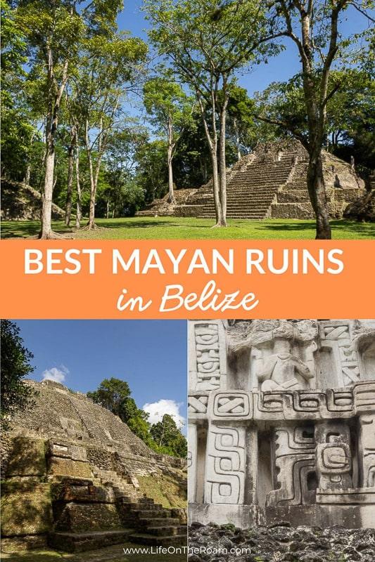
Table of Contents
Cahal Pech Archaeological Reserve
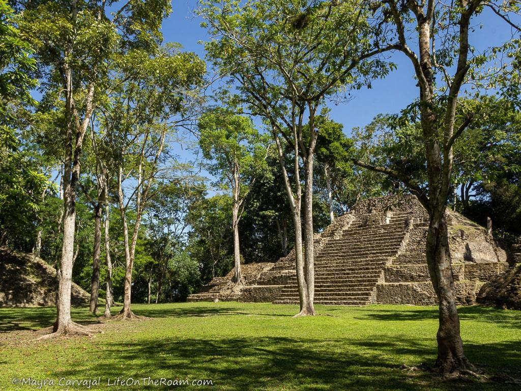
Cahal Pech means “City of Ticks” in Mayan. The place was infested with the dreaded parasite when an archaeologist from the University of Pennsylvania stumbled upon the ruins in the 1950s. It was all buried under a field where you could hear nothing but moo’s.
Cahal Pech, along with other cities such as Xunantunich and El Pilar, grew from a small village formed in 1200 B.C. by Mayans coming from what is today Mexico and Guatemala, into a major centre. The small collection of modest houses turned into a city with large temples made of limestone blocks arranged around plazas.
People got around back then. Archaeologists found jade and obsidian objects from Guatemala and shells from the Caribbean coast, revealing that the city was part of an important trade route.
Between 300 B.C – 300 A.D (Late Preclassic Period) the population was around 15,000 people where the VIPs lived in the city centre, and the farmers lived in the suburbs.
Plaza B is the central square, facing the largest temple in the complex. I enjoyed the aerial view from the top of the structure and I imagined the people coming and going, socializing and trading.
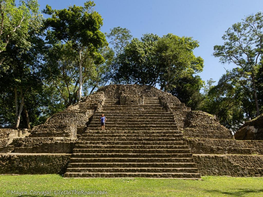
If you have a hard time creating the image in your head, check out the mural at the visitor centre showing the temples with finished walls in white with contrasting details in red.
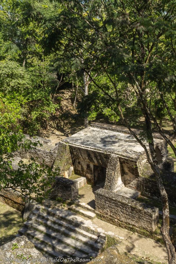
From the top you can also see the inside of the temple and the collection of interconnected small rooms. The construction method of the temples didn’t allow large span arches so you won’t see big rooms in the inside.
Behind the big temple you’ll find three smaller plazas and another major temple.
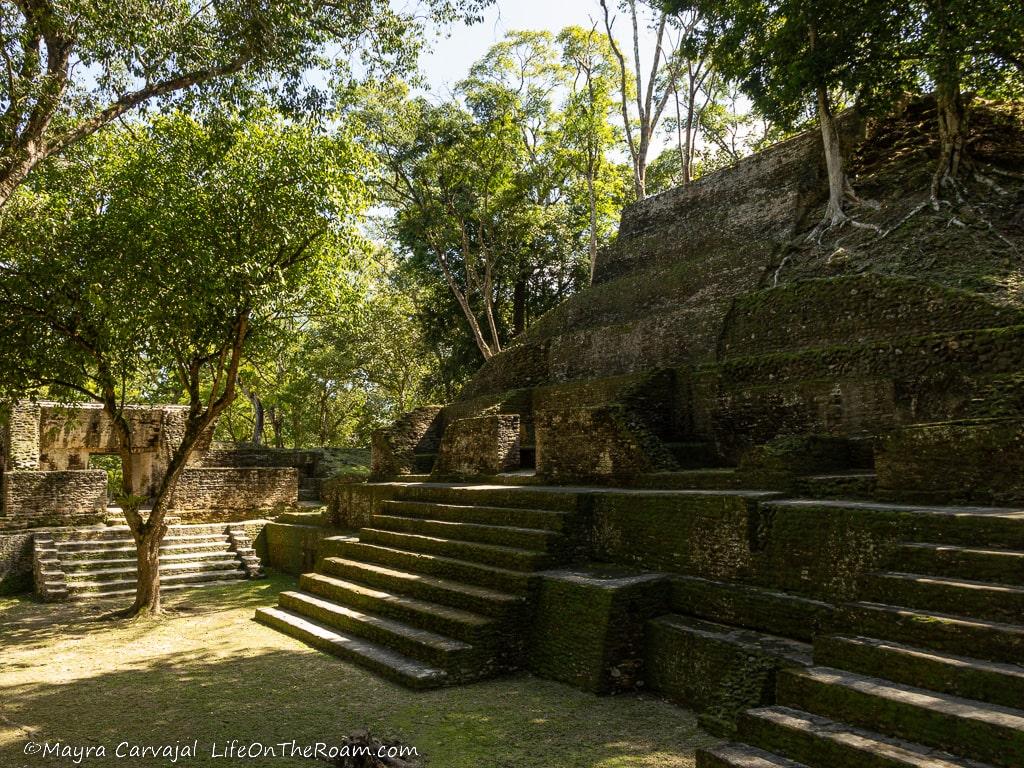
The end of the 9th century marked the end of the great city. Everybody left, and to this day nobody knows exactly what happened. Some people came later to perform ceremonies or attempted to move back, but it didn’t work and eventually the jungle took over and trees covered everything.
Cahal Pech bears the distinction of having the oldest monumental structure for ritual purposes and the earliest carved stela (Stela 9) in Belize.
There’s a small museum where you can learn more about the site and see artefacts found during the excavations.
For a good meal after visiting the site we went to the Cahal Pech Village Resort, right next door. This is a good option for staying in San Ignacio, with beautiful amenities and an excellent view of the valley.
Open daily: 6:30AM-5PM. General admission: US$5 p/p. Cahal Pech is in San Ignacio.
Lamanai Archaeological Reserve
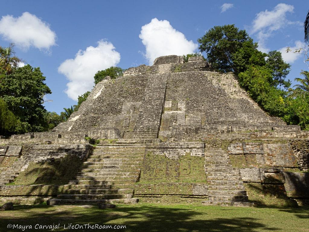
After taking a scenic boat ride and spotting wildlife on the banks of the New River we arrived at the Lamanai Archaeological Reserve.
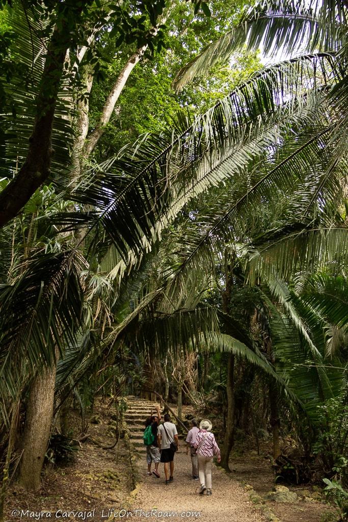
The trail leading to the temples was flanked by tall palm trees that looked like the skyscrapers of the palm trees, giant Guanacaste trees, and black orchids typical of Belize.
The Mask Temple
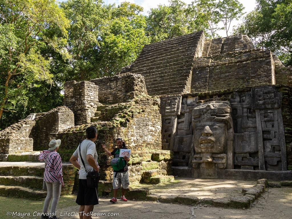
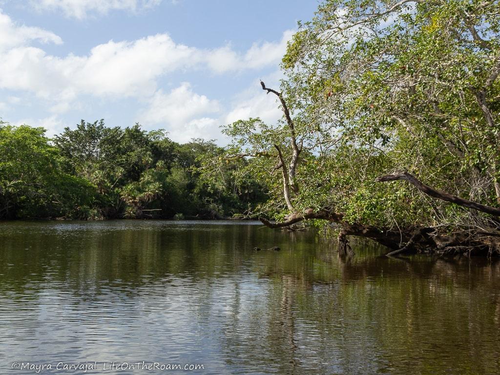
Our first stop was the Mask Temple. Mayans completed the original building during the Preclassic period (100 B.C.-450 A.D.), but during the Early Classic period (450 A..D.-500 A.D.) they decided to change its shape and make it bigger and taller, adding four big plaster masks on the ramps, on each side of the main stairs.
They didn’t stop there and, from 550 A.D. to 625 A.D., added a portico entrance to the temple and covered the masks.
During to the excavations the experts decided to revert the lower section to the Early Classic period to expose the two remaining massive masks, which are believed to portray Lamanai rulers, with depictions of an upside down crocodile snout (the name of the site is ”Submerged Crocodile” in Mayan).
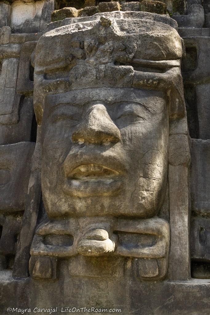
From there we walked to the tallest structure in Lamanai: the High Temple.
The High Temple
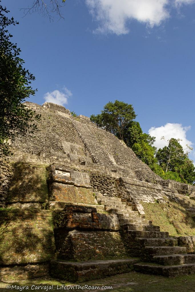
Its construction started in 100 B.C. and it’s one of the largest pyramids of the Preclassic period. Climb to the top to enjoy one of the best views in Belize.
The Ball Court
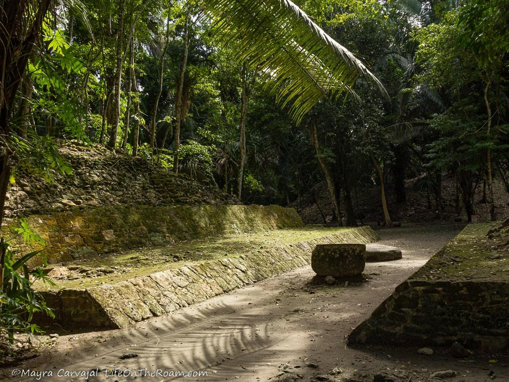
This is where they played the famous ball “game” (cue the quotes). Two teams bounce a rubber ball off their arms, thighs, hips and walls of the long and narrow court, scoring points once it’s thrown beyond designated markers. Over the years I’ve heard different versions about its meaning and its outcome. The version I learnt at Lamanai points towards a recreation of a battle where prisoners play against their captors. When (not “if”) the captors win, the prisoners are decapitated and their heads are displayed on a rack at the entrance of the city for everyone to see.
Yikes. I thought games where supposed to be fun.
The Jaguar Temple
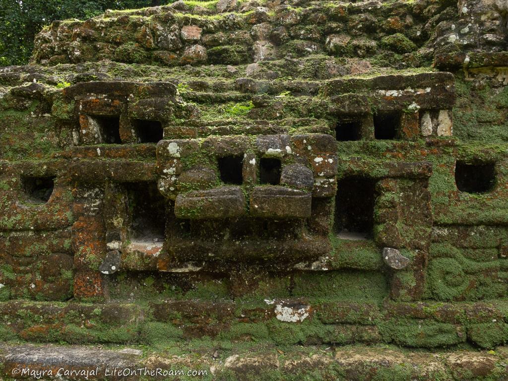
When you get closer to the temple and see the masks (the fangs are long time gone) it’s quite clear why they named it as such.
Version 1.0 of the temple dates back to 500 A.D. with ongoing modifications taking place up to the 13th century.
Lamanai was alive and kicking until its decline around the 15th century. Today, most of the site remains buried under the jungle. We ended the tour at the visitor centre where you can learn more about the site and the Mayans, and then enjoyed a tasty lunch included with the tour.
The easiest and most scenic way to reach this site is by taking a tour to the Lamanai Archeological Reserve, which includes a boat ride on the river and wildlife sightings.
Lamanai Tour and River Cruise: lookout for wildlife as you go on a river towards the Lamanai site, where you’ll explore this ancient Mayan city. Lunch included.
Join this tour, with a rating of 4.8/5 based on more than 110 reviews.
Lamanai is in the Orange Walk District.
El Pilar Archaeological Site
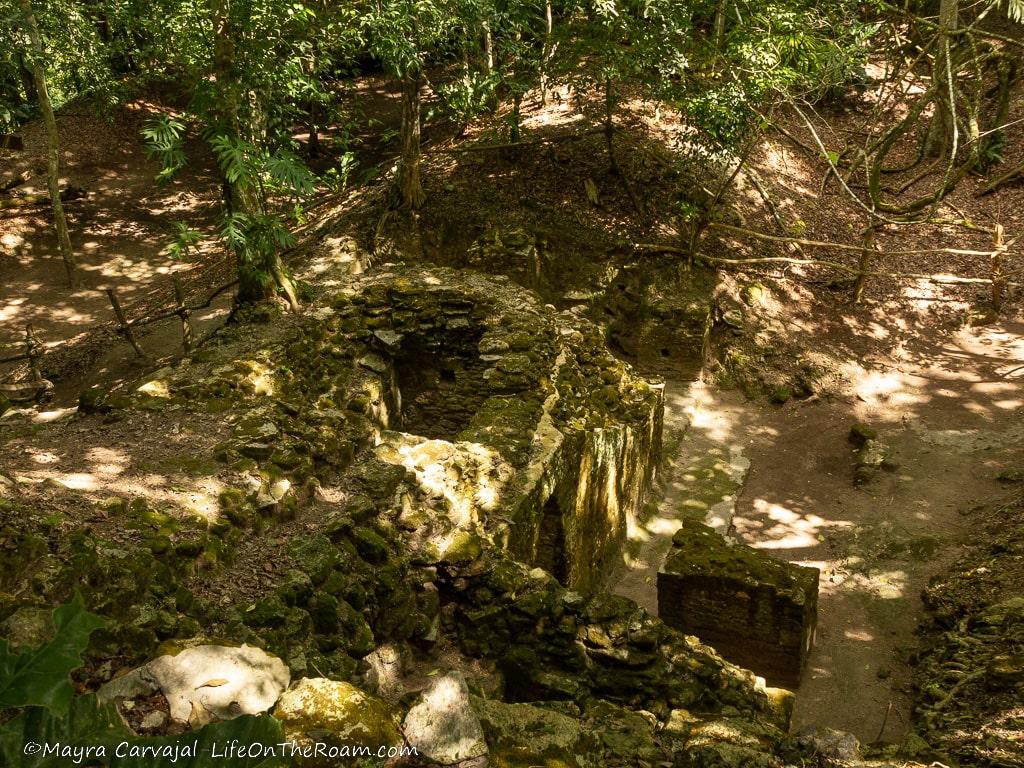
Of all the Mayan ruins I visited in Belize this is where I felt closer to being some sort of Indiana Jones.
After driving on a dirt road that I wouldn’t dare tackling on anything else than a 4×4 SUV (especially if it rained) we arrived at El Pilar, an important centre in the Mayan world from 700 B.C. until 900 A.D.
The site is largely unexplored and most structures are tree-covered mounds with a few hints of the buildings hiding underneath. If you’re looking forward to seeing plenty of temples and palaces with a somewhat defined shape and stairs and friezes, you may be disappointed.
If you’re after a different experience and you want to see an archeological site in its early stages with only a handful of tourists (or none, we had the site for ourselves) and you enjoy hiking in the jungle spotting wildlife (tons of monkeys!), you’ll be delighted.
You can walk under the dense tree canopy of Plaza Copal, a square first completed in 250 B.C. (as was Plaza Axcanan) surrounded by -covered- structures built over the course of more than a thousand years. At Axcanan you can see some traces of buildings peaking out.
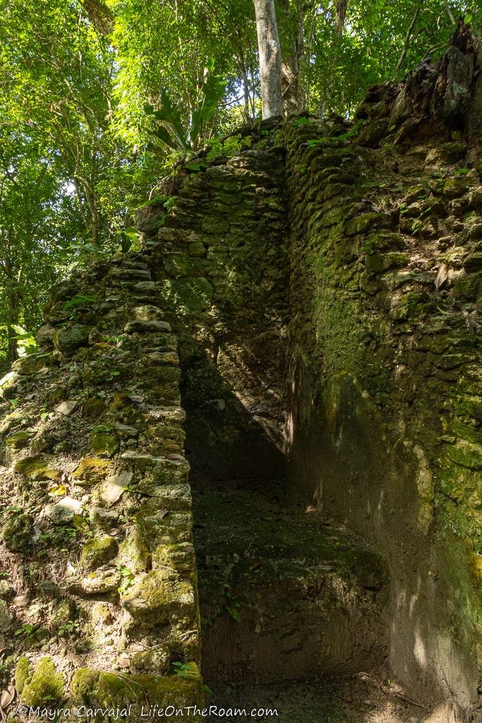
At Plaza Jobo you’ll have a chance to see more unearthed structures and walk up to a lookout with a fabulous view of the jungle.
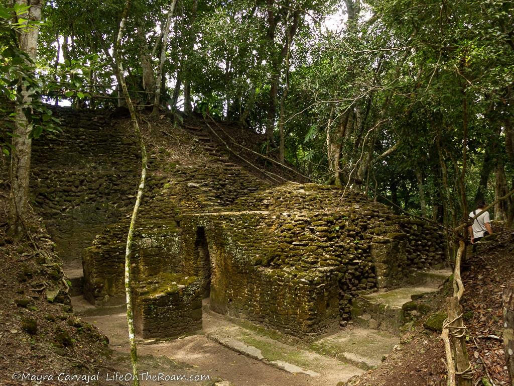
Stop at Tzunu’un to see a family compound first occupied in 700 B.C. with units built for different functions facing a central square. We saw a troupe of howler monkeys here!
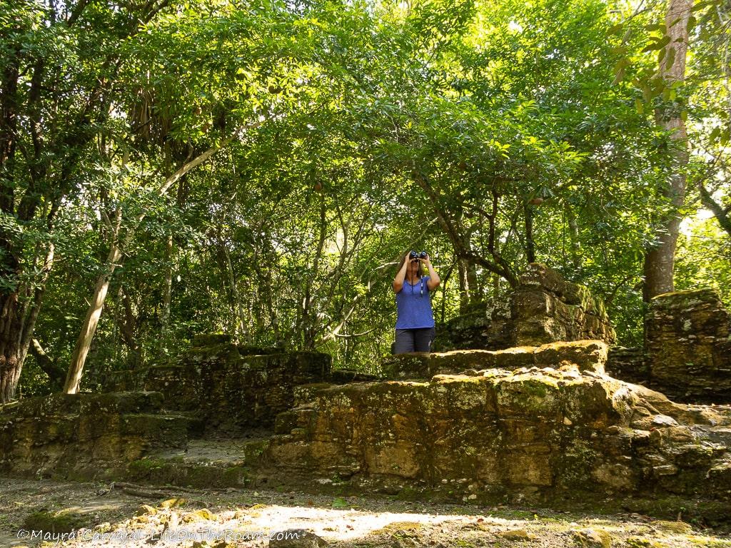
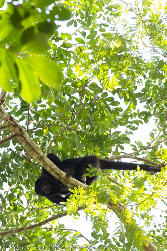
There are beautiful hiking trails in the reserve, even though the whole site feels like a big hiking trail. I loved the El Pilar Community Creek Trail (1 mile), going through the jungle with spectacular surroundings following a creek.
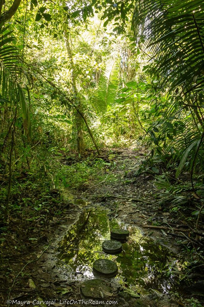
There are other trails you can do, but I recommend asking the guard at the entrance about their current status when you reach the site. Some have no clear path as you go in (we turned around), and some may take you far out of the reserve into the road, as we learned from the guard after our visit (glad we turned around before going too far).
Follow directions from the guard regarding where to start your visit as it’s not as straightforward. The perfect place for a little adventure.
El Pilar is approximately a one-hour drive from San Ignacio. 4×4 SUVs are highly recommended (see car rental options here); Open daily: 8AM-5PM.
To see ancient pottery and early Mayan burial sites you can visit the ATM Cave, near Belmopan. Although you won’t find any ruins as in pyramids and buildings, it’s an interesting archaeological site inside an impressive cave.
Xunantunich Archaeological Reserve
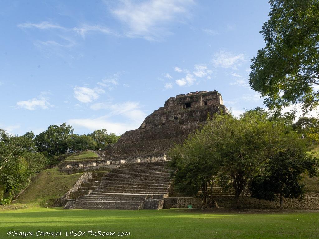
After driving to the San Jose Succotz village and a quick crossing of the Mopan river on a hand-cranked ferry we arrived at Xunantunich (pronounced shoo-nahn-too-NICH). It’s one of the largest Mayan ruins in Belize, with temples and palaces around squares across its 300-square-metre core, and amazing views of the valley.
What Does Xunantunich Mean?
The legend says that in the 1800s a hunter saw a Mayan lady standing at the entrance of a cave. He was gobsmacked by the blinding glow of her skin under the sun (á la Edward in Twilight) and rushed to the village. When he returned with the priest she was nowhere to be found.
Locals said many others saw her, naming the site after the famous mysterious resident: Xunantunich, “The Stone Lady” in Mayan.
Brief History of Xunantunich
History goes back several centuries before the apparition of the elusive lady. The oldest objects found on site date back to 3000 B.C., when nomads wandered around this area.
The first settlements didn’t happen until 1200 B.C.-900 B.C., when people started trading shells from the Caribbean coast and jade with what is today Guatemala, as told by the artefacts found on site. The city started to grow between 900 B.C. to 300 B.C. with small pyramids popping up, and before it became a big thing it all slowed down between 300 B.C. and 600 A.D. when other centres emerged.
But there was more in store for Xunantunich. After 600 A.D. it experienced a revival when the big bosses from Naranjo (another Mayan site) chose it as a trade route they could control, resulting in the construction of temples, more ballcourts, and the expansion of El Castillo.
El Castillo
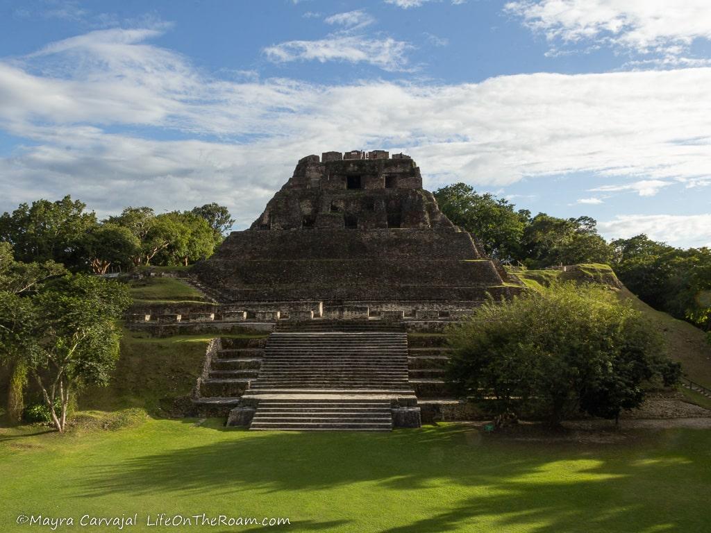
At the summit of this 130-feet-high structure, one of the tallest in Belize and erected at the centre of the site over two thousand years, you’ll see the stucco friezes that still remain on the East and West side (they used to wrap around the top section of the palace).
Up there is the depiction of Chaak, the rain god, with what seems to be a stream pouring out of his snout to provide life in the form of water for harvesting.
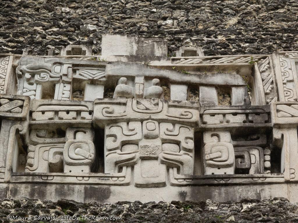
There’s also the depiction of the moon goddess, sitting on a U-shaped glyph symbolizing the moon. The Mayans believed that after a domestic dispute she doesn’t shine as bright as her husband, the sun. The masks with the big “X” under the jaw represent the Pax (world tree) gods.
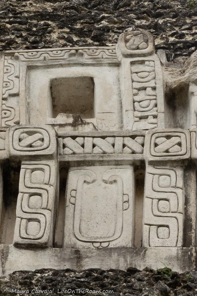
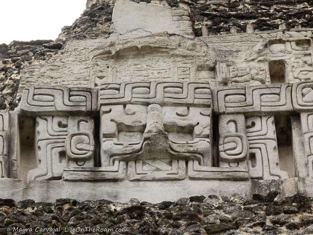
Mayans believed the Earth was flat, with humongous trees at the centre and in the corners connecting the three levels: the sky resting on the branches above, the earth fixed around the trunk, and the underworld (Xibalba) hanging on to the roots. The placement of the masks in El Castillo lets everybody know that the rulers are at the centre of it all.
And then you have the bacabs.
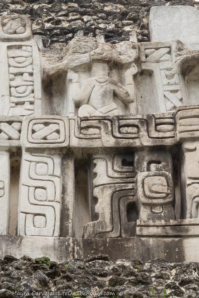
These mythological figures, placed along the four cardinals directions of the universe, were responsible for keeping the sky where it is and for holding the celestial throne.
The friezes not only represent the Mayan cosmology, but also send a clear message about the divine rights of the people living there. This was the Royal Palace for most of Xunantunich’s history, with private residences for the monarchs, administrative offices, and private shrines.
Some archaeologists say that when Naranjo controlled the city, the Royal Palace moved to Structure A11, north of El Castillo.
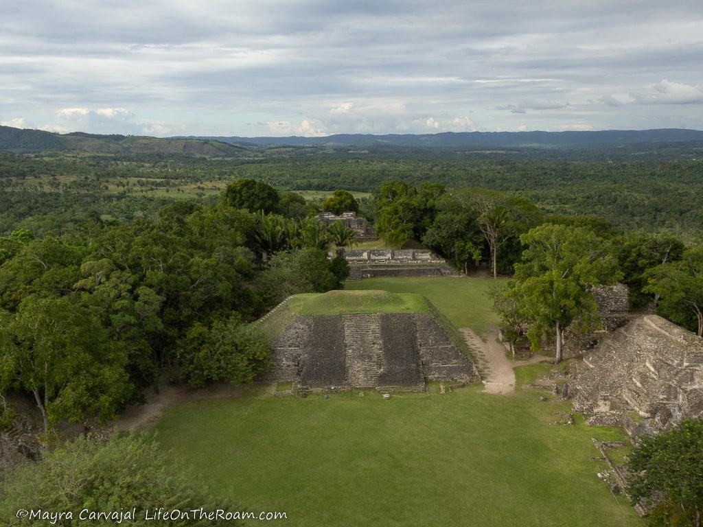
Others say that it never moved, that it was the residence of the rulers’ BFFs.
No one moved in after that, but people visited the sacred site to perform rituals and ceremonies dedicated to Chaak, the rain god.
You can learn more about Xunantunich and the Mayan culture at the visitor centre, where you can also see artefacts found on site. Or, you can take a guided tour like these ones:
Xunantunich Tour from San Ignacio: learn more about the pyramids of Xunantunich with this half-day guided tour with pick up from your hotel.
Book this tour, with more than 70 glowing reviews.
Xunantunich + Cave Tubing: full-day tour where you’ll go cave tubing at the Nohoch Che’en Caves after a guided tour of the ruins. Lunch included.
Book this activity, with 99% 5-star rating based on more than 220 reviews.
Xunantunich is located in the San Jose Succotz Village (a 30-minute drive west of San Ignacio); Open daily: 8AM-4PM; General admission: US$5 p/p
Caracol Archaeological Reserve
Things changed in 744 A.D. when Tikal took over Naranjo. Construction continued for several years before slowing down to a decline by 850 A.D., when people gradually moved out (archaeologists think it was a combination of severe droughts and unsustainable growth), until total abandonment around 900 A.D.
This is the biggest archaeological site in Belize, the most remote, the most influential, and the one with the tallest structure. The rulers at Caracol maintained control of the Belize River Valley until the warriors of nearby Petén defeated them in 680 A.D.
Although we researched how to visit Caracol and we made it to the Mountain Pine Ridge Forest Reserve, we didn’t have the chance to get there. If you can make it, don’t miss it. Here are some tips:
To get to Caracol you drive through the Mountain Pine Ridge Forest Reserve (where you must register with the guard) and then follow a dirt road in less than ideal conditions (you’ll NEED a 4×4 SUV).
Reach the entrance of the Mountain Pine Ridge Forest Reserve by 8AM as you’ll need enough time to get to Caracol, explore the site (it’s big) and drive back. Fill up your tank right before your trip as there are no gas stations on the reserve or beyond.
Unless you have a satellite phone you may not be able to get any service. If you’re going by yourself, let your hotel know about your plans (in addition to the mandatory registration at the park) in case you get stranded and can’t call for help.
Bring water, food, mosquito spray, and sunscreen.
If you have enough time you may be able to also explore some of the beautiful gems in the Mountain Pine Ridge Forest Reserve (MPR), with caves, waterfalls, natural pools and hiking trails.
If you prefer to leave all these preparations to a guide, you can book a tour to the Caracol Archaeological Reserve, which includes a stop at one of the caves and waterfalls of the MPR reserve.
There were several important Mayan cities in what is today Belize. Their location along a busy trade route brought prosperity and development. In addition to the imposing structures left behind, the surrounding jungle offers a terrific backdrop to palaces and temples. Did you know that you could visit Mayan ruins in Belize?
RELATED POSTS
BOOKING FLIGHTS AND ACCOMMODATIONS
Book your flight without losing your shirt
We check Momondo to find great deals to book our flights. Also, check Great Escape: it combines the listings from Expedia, Kiwi, Kayak, (and Skyscanner on the premium service) to find the best airfares.
To find a place to stay for less
Booking.com: this site combines everything under the sun. You’ll find hotels, apartments, B&B, hostels, rooms, etc., with all sort of filters to make your search a breeze.
Hotwire: the first site I check when we plan to stay at a hotel for a few nights. You can save anything from 20% to 60%. Use the search filter to find what you want and you’ll end up with three listings that match your criteria. You’ll know which one you’ll get after you book. If you can handle a little bit of uncertainty you can score big savings.
House Sitting: you take care of people’s pets and house for free while staying for free. It’s the closest thing to experiencing a place “like a local”. But it comes with responsibilities… Are you an animal lover? It may become your new way to travel.
To get travel insurance
SafetyWing: travel medical insurance that gives us peace of mind knowing that we’re covered in case of emergency. It’s convenient, affordable, and suitable for digital nomads who spend a long time outside their home country.
Check the full list of travel resources on my Resource Page for more options and savings
I didn’t realize Belize had Mayan Ruins, I thought they were all in Mexico! You learn something new every day – thank you for that. I have been to Chichen Itza but will add Belize to my list as it looks so interesting.
I love Chichen Itza!
Beautiful photos!
Thanks!
Great post! I’ve been to one but don’t remember which one it was on the list! The place was absolutely beautiful!
I’m glad you made it to Belize
There is so much too see! It is great to have some ideas and a plan ahead of time. Your pictures are amazing too! Thank you for sharing!
So much to see, so little time.
love Belize
Me too!
I love history, this is such an awesome read. Thank you for sharing your journey. It was fun for me too ha ha.
Thank you for reading!
These interesting ruins. I have heard of them but never been there myself. I would love to go there someday. Thank you for sharing with us!
Thank you for reading!
Gorgeous! You are so lucky to have been able to go to this! The one with a scenic boat ride reminds me of something you would see in a movie. Thanks for sharing!
Belize is full of adventures like this. Hikes through the jungle leading to incredible sites.